The Kungsörsleden hiking trail
Hiking
- County: Västmanlands län
- 6751.83 km away from you
Trail details
- Length 24.0 km
- Time 8 h
Actions
Description
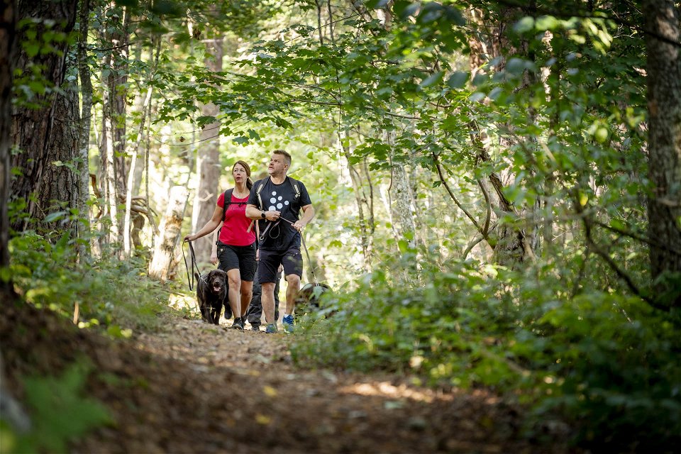
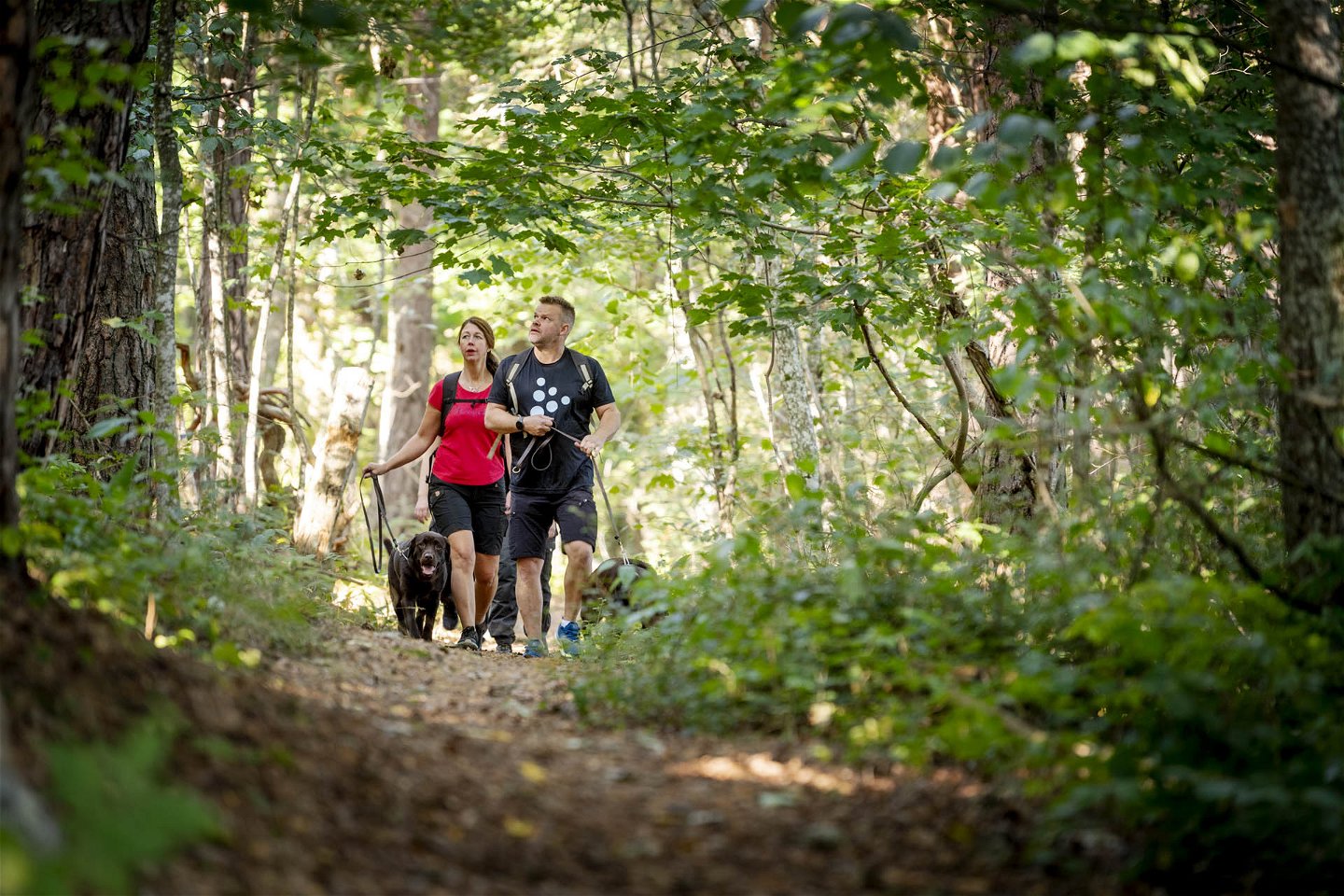
Välkommen ut på Kungsörsleden. Det är en vacker vandringsled för dig som önskar uppleva sjönära natur, drömska skogar och en småstad i Mälarens västra ände. Leden går i en rundslinga med början och slut i centrala Kungsör som bjuder på ett härligt utbud av kaféer och restauranger. Från Kungsör kan du välja att gå leden i sin helhet (24 km), den norra slingan genom naturreservatet Jägaråsen (7 km) eller den södra slingan som rundar skogarna och landsbygden kring Kungsörs utkanter (17 km). Du bjuds på en palett av Kungsörs historia, från järnålder till den kungliga era som lämnat efter sig ekhagar och rester av en kungsgård. Den tätortsnära delen visar dig modernare kulturhistoria och industrier, i kontrast mot de små gårdar med hagmarker som också finns längs leden.
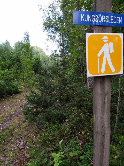
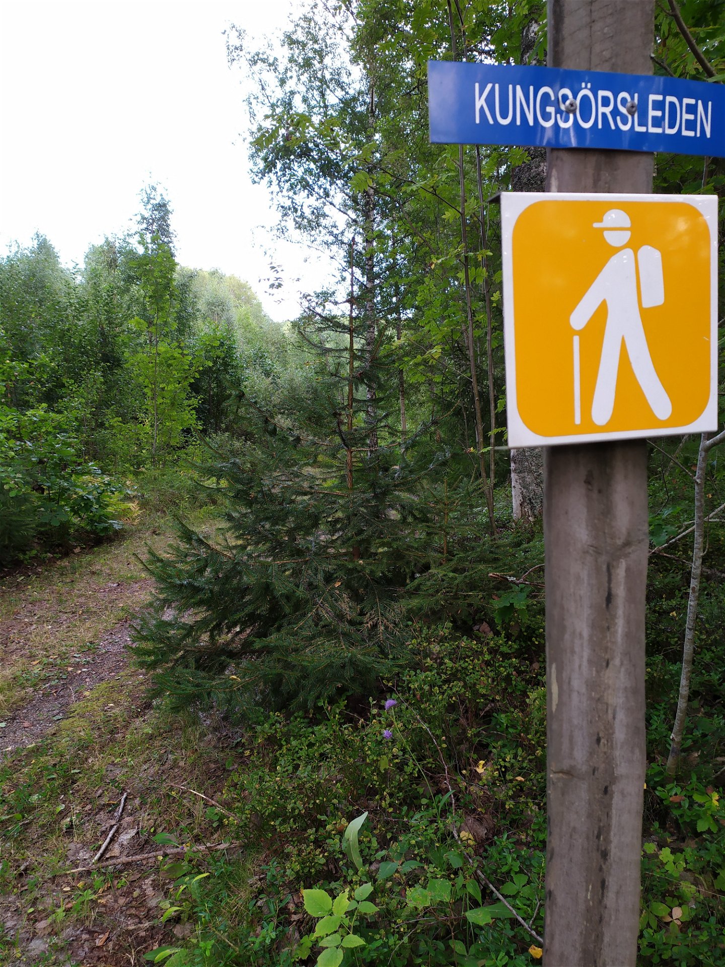
Kungsörleden är en välmarkerad led i varierad terräng. Underlaget växlas mellan rotfyllda stigar, grusade promenadstråk och kortare etapper på asfalt. Leden går i övervägande flack terräng men några kuperade stigar förekommer vid Jägaråsen. Hela Kungsörleden är en heldagsutflykt på ca 7-8 timmar, den övre slingan genom Jägaråsen är en tur på ca 2 timmar och den södra slingan en tur på ca 6-7 timmar. Längs med leden finns flera rastplatser där det går bra att grilla. Väljer du att vandra leden på två dagar så är Kungsörstorp hotell en utmärkt plats för att spendera natten längsmed leden.
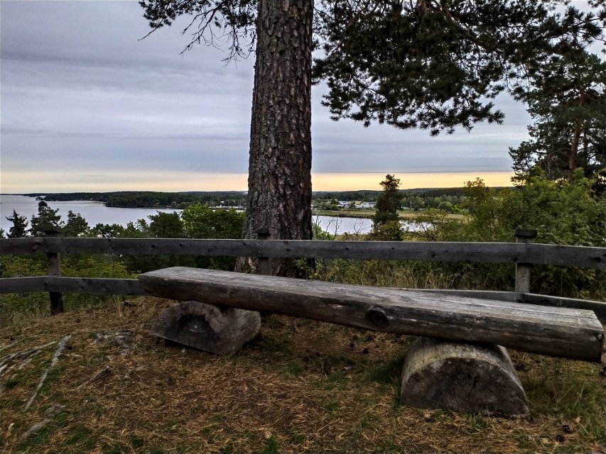
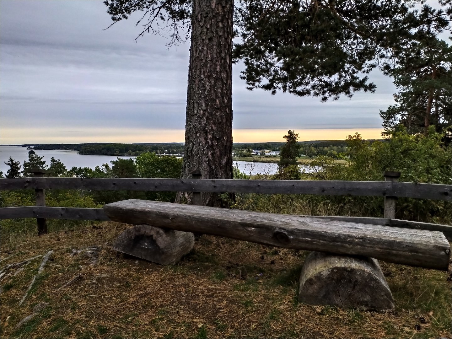
Den norra delen går genom Jägaråsens naturreservat. Området är en del av en långsträckt rullstensås som idag hyser stora naturvärden och en intressant kulturhistoria. Vandra mellan stora lövträd och njut av utsikten över Mälaren. På utvalda platser berättar informationsskyltar om den fascinerande historia som utspelats på platsen. Bland annat brukade här ligga en stor kungsgård. I reservatet är det inte tillåtet att cykla. Den kuperade terrängen gör det också svårt att ta sig fram med rullstol eller barnvagn. Den norra slingan erbjuder badmöjligheter vid den vackra badplatsen Botten strax norr om reservatets utkant.
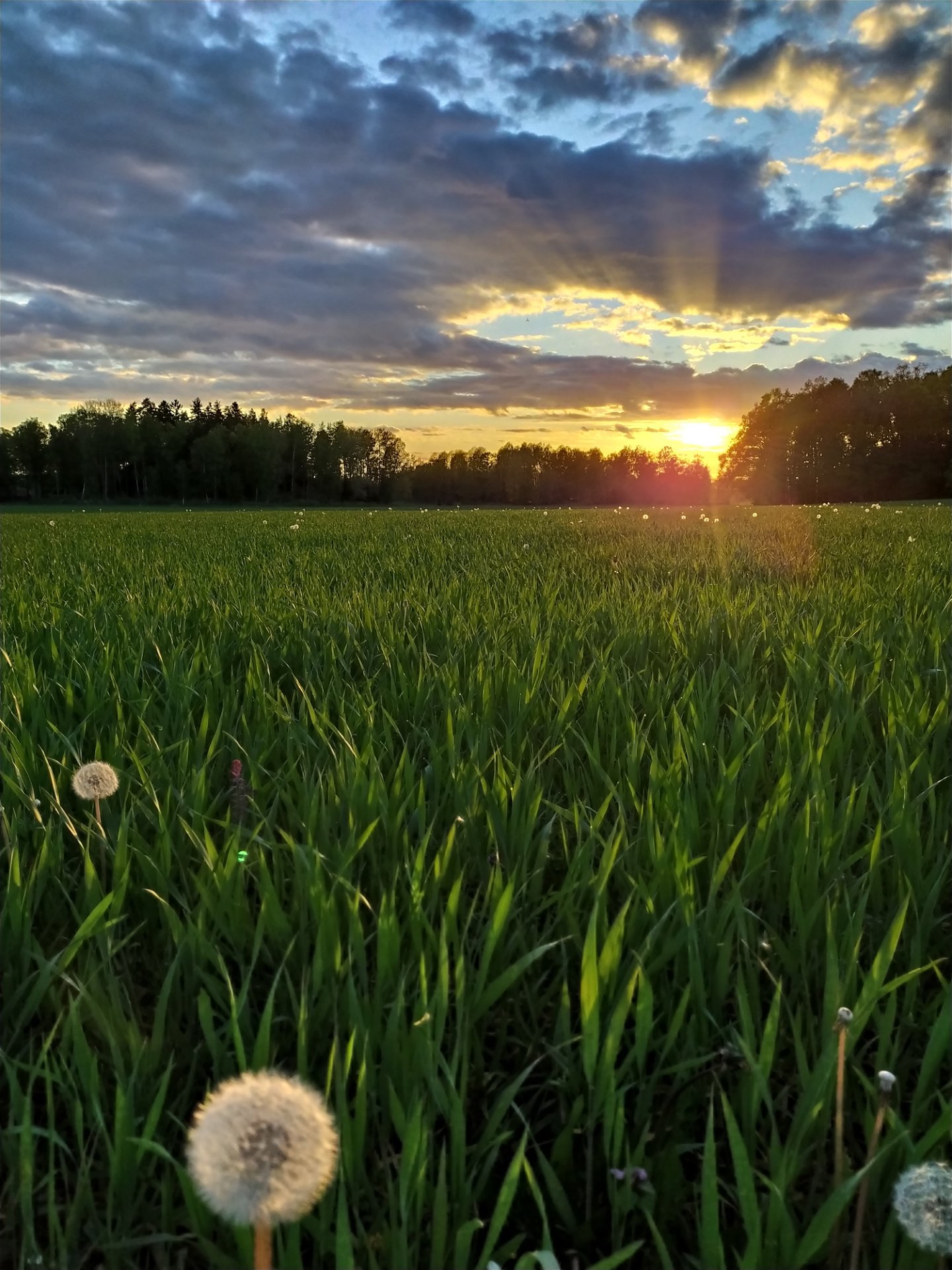
Kungsörledens södra del börjar inne i Kungsör och följer Arbogaån österut där den utmynnar i Mälaren. Du passerar Kungsörs gästhamn och det trevliga kaféet Brovakten som är känt för sina smaskiga våfflor och stora glassmeny. Vandrar du leden medurs följer du Mälarens strandkant och passerar Ekuddens Camping - där det går att hyra kanot - och sedan Skillingeudds badplats med möjligheter till fika. Därefter viker leden av söderut och fortsätter genom vacker landsbygdsmiljö. Vid ledens södra del finner du Lockmora friluftsgård där det finns grillplats och möjlighet att fylla på med färskvatten. Här växlas skog med äng- och åkerlandskap. Där leden viker av norrut följer den en vacker porlande bäck, Runnabäcken, som några kilometer senare rinner ut i Arbogaån. Runnabäcken bjuder stundtals på meandrande bäckraviner med hög biologisk mångfald. Broarna över bäcken är många - passa på att stanna och lyssna på porlande vatten och fågelkvitter. Kanske får du syn på en lekande fisk om säsongen är rätt.
Väl tillbaka i Kungsör finns mycket mer att upptäcka. Besök länken nedan för att se mer av vad denna vackra småstad i Mälarens västra ända har att erbjuda.
Activities And Facilities
-
Hiking
-
Trail running
-
Circular trail
Accessibility
-
Near parking
-
Near Public Transport
Facts
24 km lång. Varierad terräng. Delvis grusade stigar och delvis rotfyllda skogsstigar. Övervägande flackterräng.
Surface
Varierad terräng. Delvis grusade stigar och delvis rotfyllda skogsstigar. Övervägande flackterräng.
Parking
Vi rekommenderar parkering vid Lockmora friluftsgård eller vid järnvägsstationen. Det går också bra att parkera vid Jägaråsens naturreservat.
Laddstation för elbil finns placerad på parkeringen bakom Thor Modéen-teatern inne i Kungsör.
Communications
Directions
Leden passerar precis utanför Kungsörs buss- och tågstation. Leden finner du på andra sidan spåren längs med Arbogaån. Boka din resa hit via www.vl.se eller sj.se.
Downloads
Contact
Address
Kungsör turistinformation Epost: turistbyran@kungsor.se Tel: 0227-600 101
Email address
Lina Ekdahl
Organization logotype

Please be aware that some of these texts have been automatically translated.
Questions & Answers
Ask a question to other Naturkartan users.

