
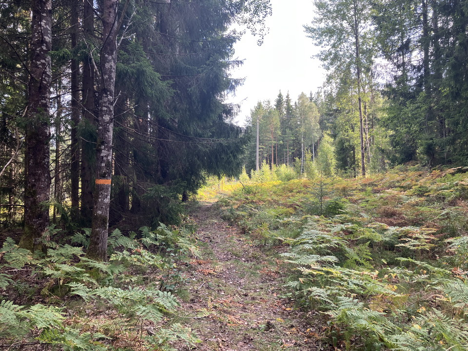


Karmansboslingan
- Hiking
- Circular trail
- County: Västmanlands län
- 6703.49 km away from you
Trail details
- Length 5.4 km
Actions
Currently
Work on the Karmansbos loop will continue until spring 2026.
Because everything is not yet ready, some things are not yet in place. For example, a start/finish sign is missing.
Despite this, it is still easy to follow the trail through the orange markings that are out in nature, as well as here digitally on the Nature Map.
Description
Activities And Facilities
- Hiking
- Circular trail
Facts
Keep in mind that the Karmansboslingan trail passes through a nature reserve. In all nature reserves there are special regulations that apply there.
Read more about what applies in Hedströmmens nature reserve
Surface
The trail runs partly on a well-prepared footpath/bike path, partly on gravel and asphalt roads and on winding paths through the forest. Be aware that in some sections it can be slippery in the rain and that some parts are a little steeper to get up.
Parking
The easiest place to park is next to the Karmansbo mill environment.
Communications
Buses between Skinnskatteberg and Köping pass Karmansbo.
Read more on the local transport website: www.vl.se
Contact
Address
Box 101, 739 22 Skinnskatteberg
Email address
Veronica Dahlberg
Organization logotype

Please be aware that some of these texts have been automatically translated.
I’ve been here 2

I want to go here 7
Reviews
—
0 reviews
- 5 :
- 4 :
- 3 :
- 2 :
- 1 :
Questions & Answers
Ask a question to other Naturkartan users.
Users images
Share your photos of the place!
