
-
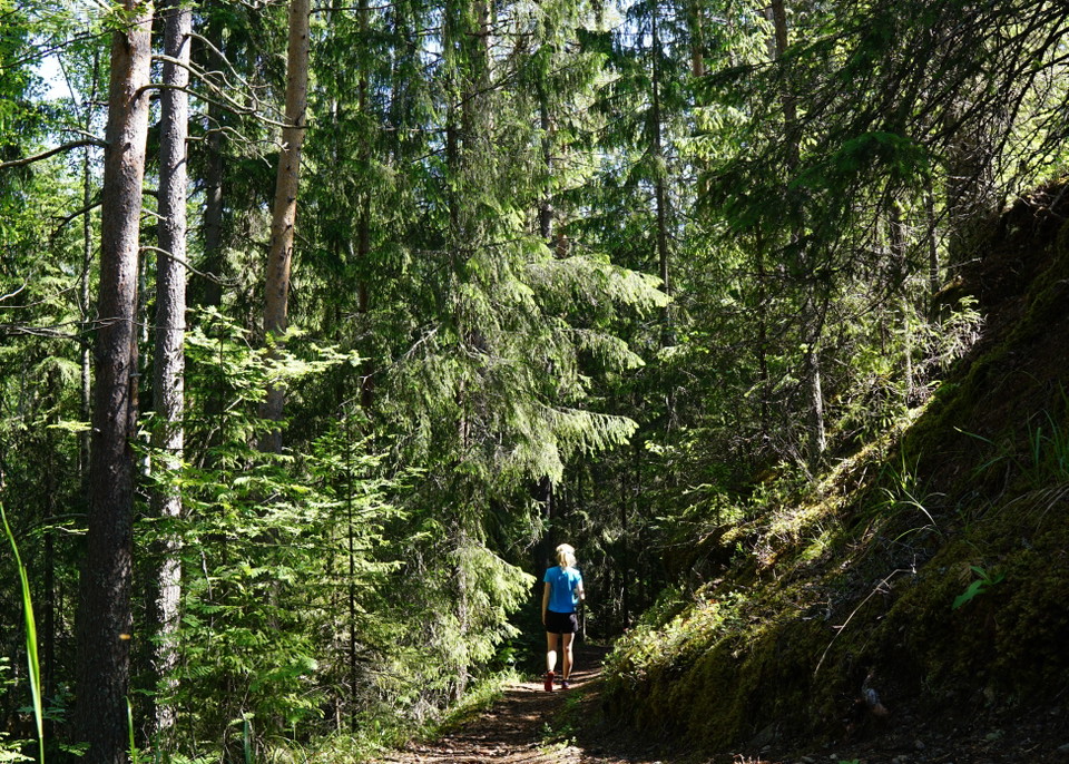
Skogsstigen på östra sidan Ljungan. Fotograf: Johanna Öhrling -
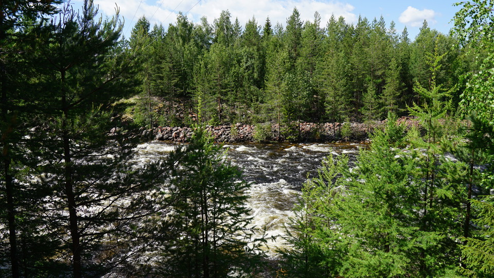
Slingan går längs den mäktiga forsen. Fotograf: Johanna Öhrling
Alby promenadslinga
- Circular trail
- Walking
- Near parking
- Near Public Transport
- County: Västernorrlands län
- 6542.41 km away from you
Trail details
- Length 5.2 km
Actions
Description
Down by Albyforsen on the other side of the pond there is a very nice path to walk. Right by the pond on Industrigatan there is an area where it is possible to park, but be careful not to stand in the way of any work vehicles that may need to reach the pond. The nearest bus stop is Alby Centralgatan.
When you have crossed the dam, take the path that goes in to the left. It follows the rapids downstream through fine spruce forest. You glimpse the mighty rapids between the trees in many places and the roar is a constant companion. After a few hundred meters you come to a section where the path is rocky, be careful in wet weather. Then you leave the spruce forest and go up a short but steep hill to a sand ridge with sparse pine trees. The path then turns left down another steep hill.
You arrive at a place where it opens up between the trees and you look out towards the rapids (view symbol on the map), just before the power line road. If you walk here and then turn around and walk back, it will be 1.8 km. If you want to go further, you can choose to continue along the path that continues on the other side of the power line road. The path turns left into the forest and soon comes out on a narrow, grassy forest road. You can follow this road along the river all the way to Ringdalsforsen. Once you have crossed the dam at Ringdalsforsen, you can follow the road back to Alby. It will be a round trip of about 5.5 kilometers in total. An alternative is to take the bus back to Alby from the Ringdalen Västra stop, which is marked on the map
Activities And Facilities
- Walking
- Circular trail
Accessibility
- Near parking
- Near Public Transport
Downloads
Contact
Address
Naturum Ånge & Turistbyrå
Borgsjöbyn 137
0690-250 450
Email address
Naturum Ånge & Turistbyrå
Please be aware that some of these texts have been automatically translated.
I’ve been here 1

I want to go here 2
Questions & Answers
Ask a question to other Naturkartan users.
Reviews
2 reviews
- 5 :
- 4 :
- 3 :
- 2 :
- 1 :
Users images
No user images yet. Be the first to share!
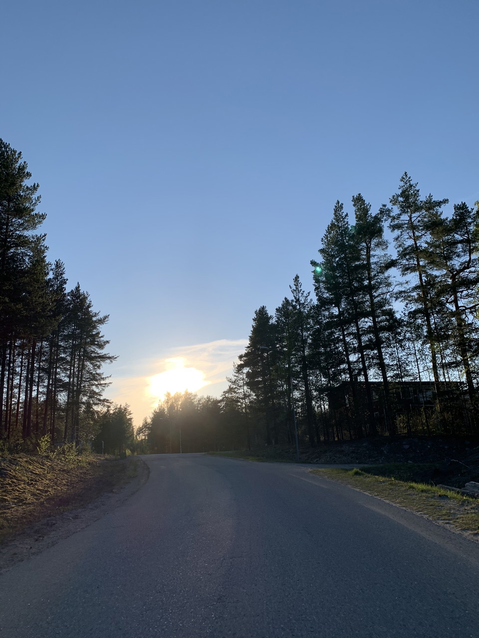

Jättefin slinga! Halva vägen genom skogen på Stig längs med vattnet. Mycket fin natur där man både vandrar i nivå med vattnet och en bra bit ovanför. Andra halvan genom byn mestadels på asfalt och trottoar, även det mysigt bland alla historiska trähus.