Naturkartan på ny teknisk plattform

Naturkartan har bytt teknisk plattform. Driftstörningar kan förekomma på webb och i app under inkörningsperioden. Rapportera problem till emil@outdoormap.com.

Read more
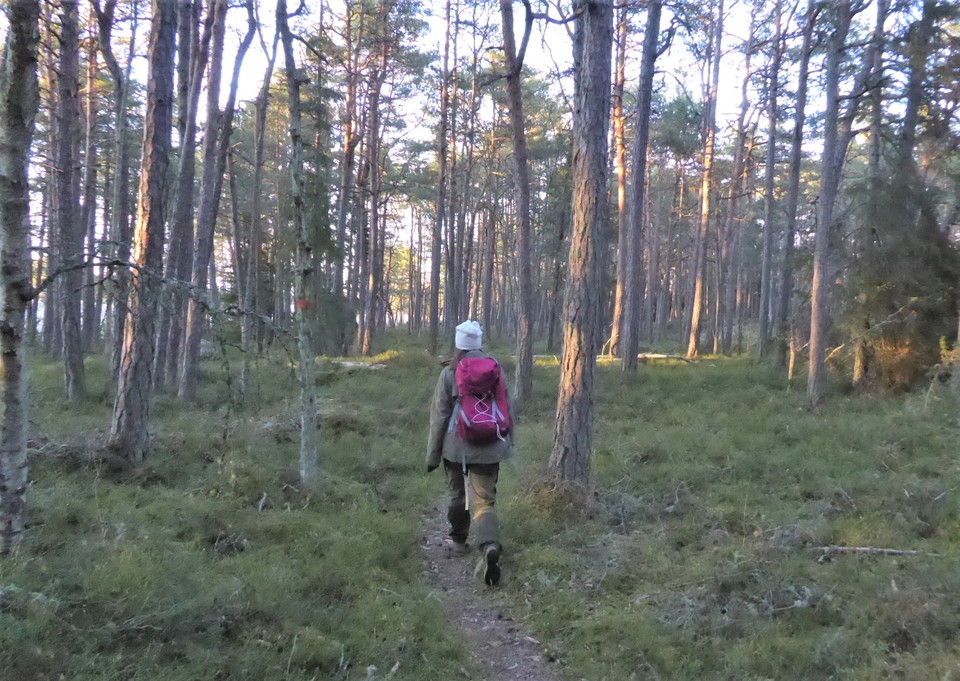
  • Vandring i kvällsljus på Dyrön
    Vandring i kvällsljus på Dyrön
    Photo: Länsstyrelsen Värmland
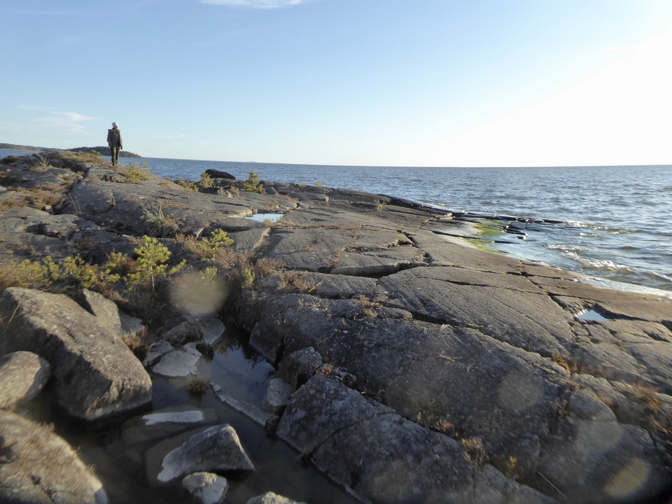
  • Utblick över Vänern från Dyrön
    Utblick över Vänern från Dyrön
    Photo: Länsstyrelsen Värmland

Led Dyrön

  • Hiking
of 5 stars

Trail details

  • Length 2.9 km
  • Difficulty Blue - medium

Actions

Description

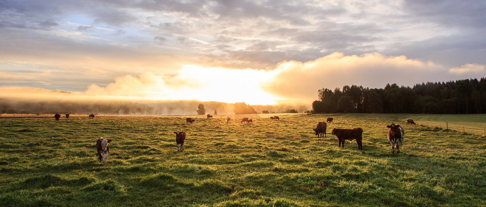
Trail close to the lake through rocky forest and pasture with cows. No difficult slopes. Lovely end point with cliffs and views of Lake Vänern. Those who want to avoid the cows can walk the bombed gravel road... The distance is 2.9 km one way.

Orange trail markings on poles and trees

Weather forecast (at 12:00)

Loading...

Get here by public transport

Activities And Facilities

  • Hiking

Contact

Email address

Maila Länsstyrelsen Värmland

naturvard.varmland@lansstyrelsen.se

Please be aware that some of these texts have been automatically translated.

I’ve been here 2

I want to go here 3

Questions & Answers

Ask a question to other Naturkartan users.

Reviews

0 reviews

of 5 stars

5 :
0.0%
4 :
0.0%
3 :
0.0%
2 :
0.0%
1 :
0.0%

Users images

No user images yet. Be the first to share!

Naturkartan

Open this in the app