
-
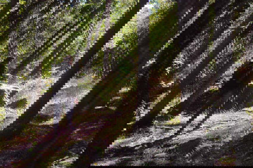
Photo: Sara Arvidsson -
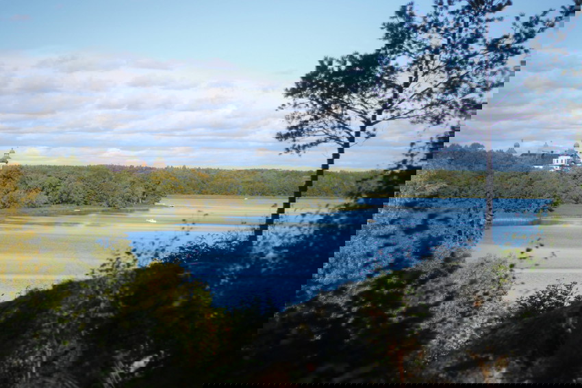
Photo: Sara Arvidsson -
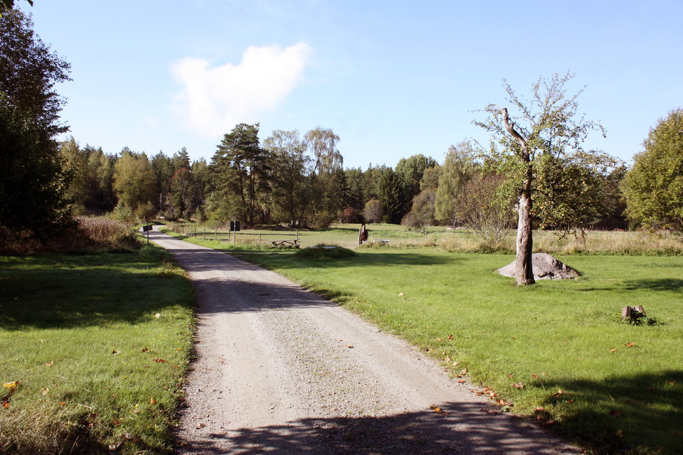
Photo: Karolina Vessby -
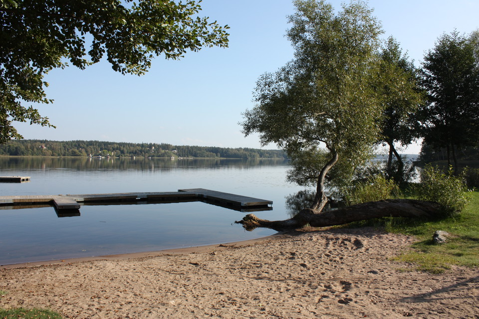
Badplatsen vid slottet.
Photo: Karolina Vessby -
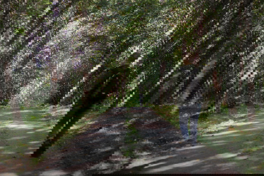
Photo: Sara Arvidsson -
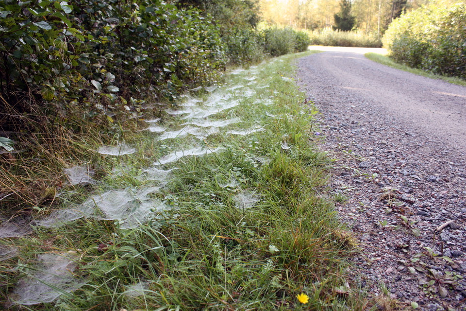
Photo: Karolina Vessby -
-
The Uppland Trail, Walk 31:1, 14.5 km
- Hiking
- Circular trail
- Guide: Uppsala läns natur
- 6792.04 km away from you
Trail details
- Length 15 km
Actions
Currently
Eftersatt skötsel
Just nu är skötseln av Skoklosterslingan eftersatt. Vi jobbar på att få ordning på leden, men så länge rekommenderar vi att du väljer en annan tur.
- Publicerat 24/6 2026
Description
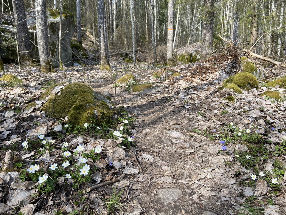
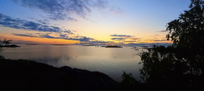
The Skokloster Walk starts and ends at the magnificent baroque castle Skokloster on the Skohalvön Peninsula. If you’ve walked the two final sections of The Uppland Trail, you’ll already be familiar with large parts of the walk (see sections 30 and 31). For the first few kilometres, on small roads along section 31, you’ll walk past pastures and cottages out into the forest of the Skokloster reserve. At a junction, the trail markings point straight ahead toward Sånka, but you should turn southward, to the left. The walk continues along forest roads for cars, and turns in the small village of Måttan, to follow the shore of Lake Mälaren, and back to the castle. The hike changes in character here, and the previously easy-to-walk trail becomes more rugged and rocky. You’ll pass two swimming and rest spots. When you are back where you started, take the opportunity to visit the vast collections of the castle.
Difficulty level: Medium, paths and forest roads for cars.
Activities And Facilities
- Hiking
- Circular trail
Communications
Länsbuss går från Bålsta ut till hållplats Skokloster slott. För bussnummer och tidtabeller, se www.ul.se
Directions
As the crow flies to Skokloster just over a mile south of Uppsala, by car almost 5 miles.
Contact
Email address
Upplandsstiftelsen
Organization logotype

Please be aware that some of these texts have been automatically translated.
I’ve been here 85










I want to go here 138













Questions & Answers
Ask a question to other Naturkartan users.
Reviews
6 reviews
- 5 :
- 4 :
- 3 :
- 2 :
- 1 :
Många nedfallna träd att ta sig över/under/förbi. Annars en trevlig runda, där ena halvan är betydligt mer kuperad än den andra.
Users images
No user images yet. Be the first to share!

Stigen är svår att gå och känns mest som ett enda långt hinderbanelopp. Det ligger fällda träd över stora delar av leden, och den är ofta igenvuxen med högt gräs som man ska slita sig igenom. Markeringarna är delvist svåra att hitta och på de partier där leden ska följas via orange markering blir det extra rörigt eftersom området är fullt av andra orange pilar som inte hör till leden. Resultatet är en stökig, förvirrande och bitvis frustrerande vandring. Bara få fina partier där man kan njuta av någon utiskt.