
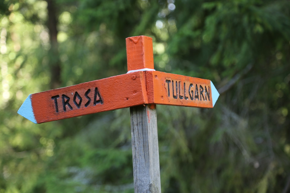
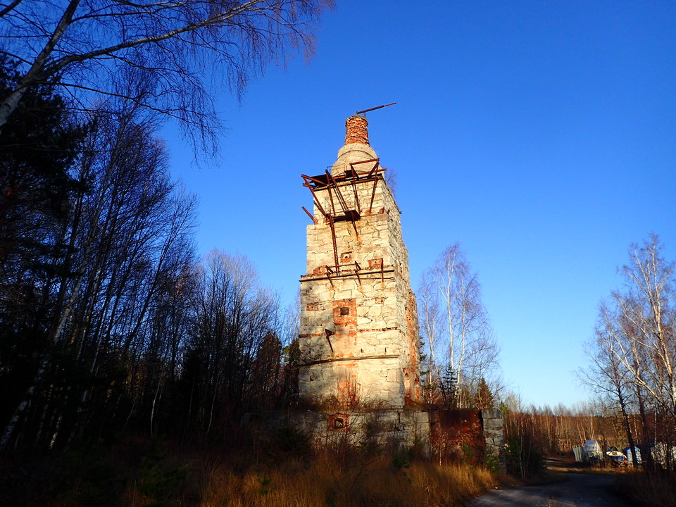
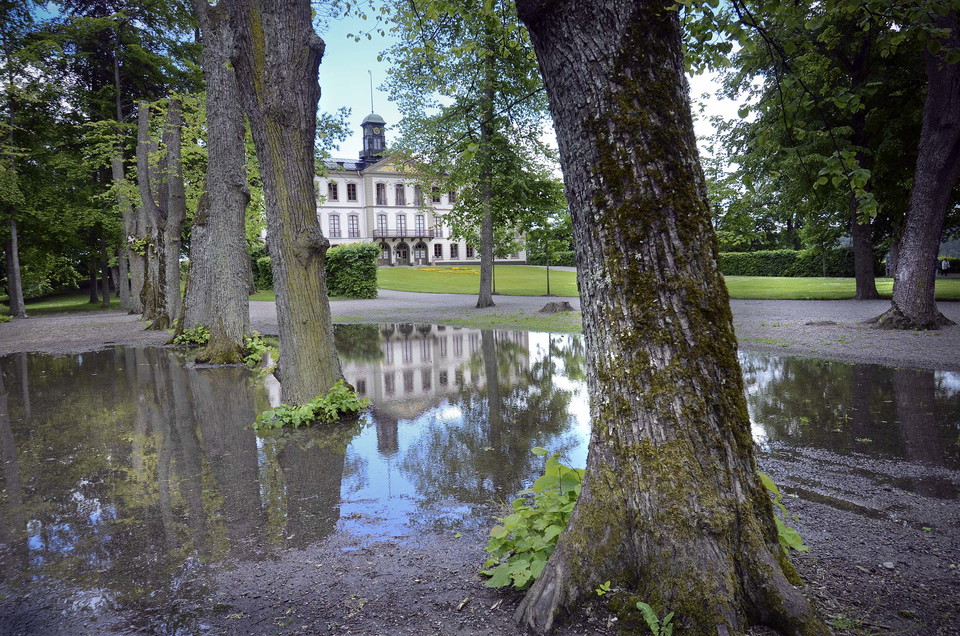
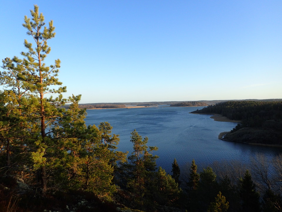
Sörmlandsleden route 56 Trosa - Tullgarns slott
- Hiking
- Near parking
- Near Public Transport
- County: Södermanlands län
- 6834.24 km away from you
Trail details
- Length 20.0 km
- Difficulty Blue — medium
Actions
Description
Activities And Facilities
- Hiking
Accessibility
- Near parking
- Near Public Transport
Facts
NOTE! Be sure to follow the orange markings of the Sörmlands Trail on trees, poles and arrows! NOT other existing markings in similar color. The Sörmland Trail is free to walk on and run by a non-profit organization. Become a member of the association to support the continued life of the trail and get access to maps.
Parking
In Trosa
Communications
Bus stop at Tullgarn and in central Trosa
Directions
Begins in Trosa
Contact
Email address
Trosa kommuns turistcenter
Organization logotype

Please be aware that some of these texts have been automatically translated.
I’ve been here 23







I want to go here 42









Reviews
—
1 review
- 5 :
- 4 :
- 3 :
- 2 :
- 1 :
Questions & Answers
Ask a question to other Naturkartan users.
Users images
Share your photos of the place!

Gick med dottern den 17 juli och övernattade på Trosa Stadshotell med efterföljande spa och tre rätters middag.😊
Det låter härligt!