
Karlsdalsstigen
- Hiking
- Wheelchair accessible
- County: Östergötlands län
- 6780.42 km away from you
Trail details
- Length 0.7 km
Actions
Currently
Along the path there is a wide but poor footbridge that crosses a bog. The footbridge can no longer be crossed with wheeled aids. It will be renovated or replaced in the future.
Description
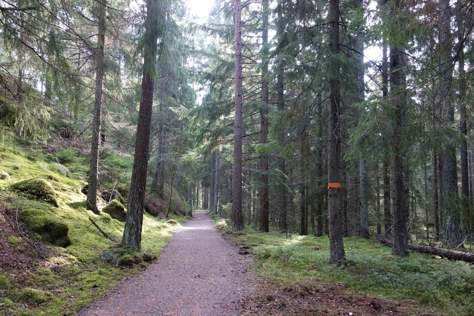
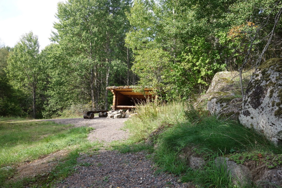
The hiking trail is about 800 meters long and leads down to a windbreak at Nedre Glottern. There used to be a croft called Karlsdal. Along the path there used to be a small railroad that was used to transport peat to the Torshags factory. Coal was also transported out here. There were many coal mines around the forests, and a transshipment point for coal was located next to the path. You can still see the remains of this.
Activities And Facilities
- Hiking
Accessibility
- Wheelchair accessible
Contact
Email address
Norrköpings Kommun
Organization logotype

Please be aware that some of these texts have been automatically translated.
I’ve been here 18







I want to go here 20





Questions & Answers
Ask a question to other Naturkartan users.
Reviews
0 reviews
- 5 :
- 4 :
- 3 :
- 2 :
- 1 :
Users images
No user images yet. Be the first to share!
