Östergötlands län

Archaeological

Map

99 Archaeological

Point of interest

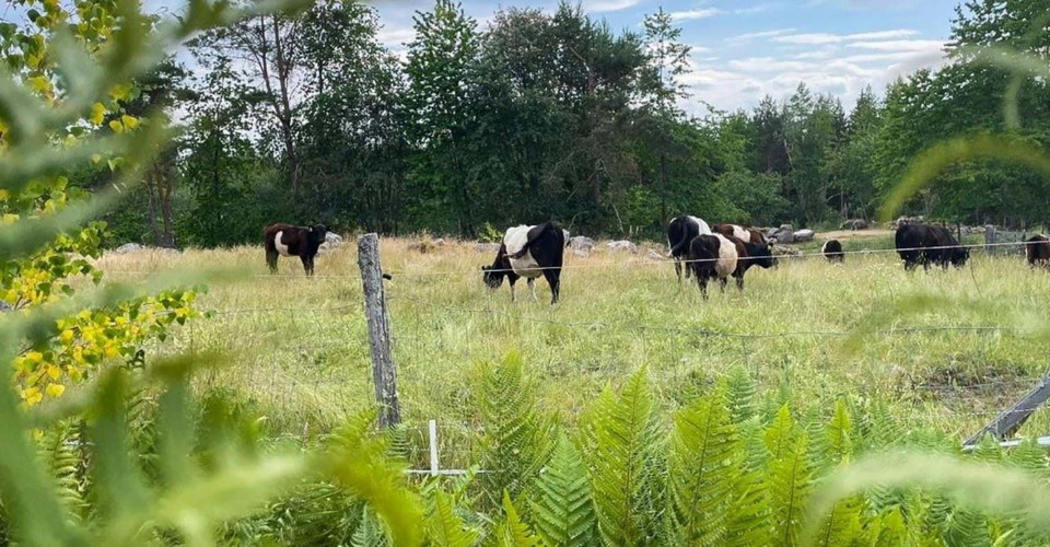
Ugglebo gård, restaurerad betesmark

  • Municipality: Boxholm
  • 6768.61 km away from you

Ugglebo is one of Malexander's oldest farms, first mentioned in 1363. The pasture at the farm has gradually grown back since the 1960s. Now, parts of the land have been reclaimed as part of a larger project with the goal of restoring 300 hectares of natural…
Archaeological

Borensbergs hembygdsmuseum

  • Municipality: Motala
  • 6744.25 km away from you

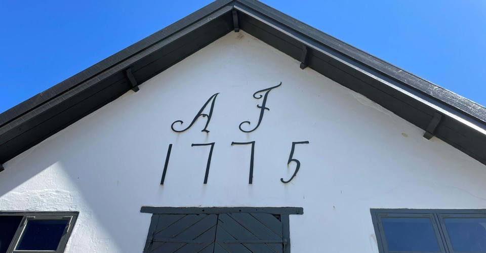
Borensbergs Hembygdsmuseum is housed in Axel von Fersen's old mill from 1775 located at Näs power station between Motala ström and Göta kanal. Open during the summer, read more about the museum's opening hours here: Sveriges hembygdsförbund / Borensbergs he…

Attraction

Svämb bromiljö

  • Municipality: Ödeshög
  • 6727.61 km away from you

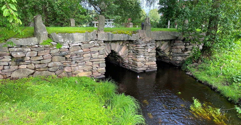
På denna plats har inte mindre än tre parallella broar över samma vattendrag kommit att finnas kvar. Miljön illustrerar på ett bra sätt resandets allt snabbare utveckling, särskilt under 1900-talet.Broarna har ingått i huvudleden Stockholm - Skåne som sedan…

Archaeological

Långvrån, domarring

  • Municipality: Vadstena
  • 6731.41 km away from you

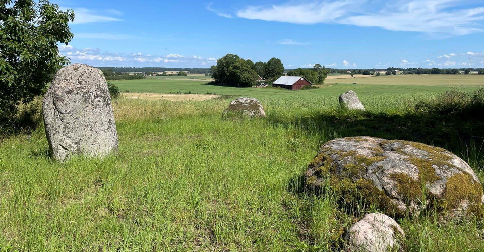
Just north of Långvråns nature reserve stands a judge's ring. Take the opportunity to take a break and enjoy the view of the plain to the east. (publ 2024-07-22/eb)

Archaeological

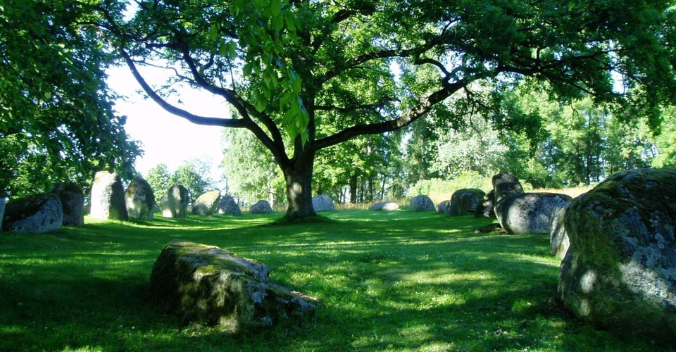
Nässja "Domarring"

  • Municipality: Vadstena
  • 6723.83 km away from you

Gravfält från Järnåldern

Archaeological

Hannäs kyrkoruin

  • Municipality: Åtvidaberg
  • 6818.33 km away from you

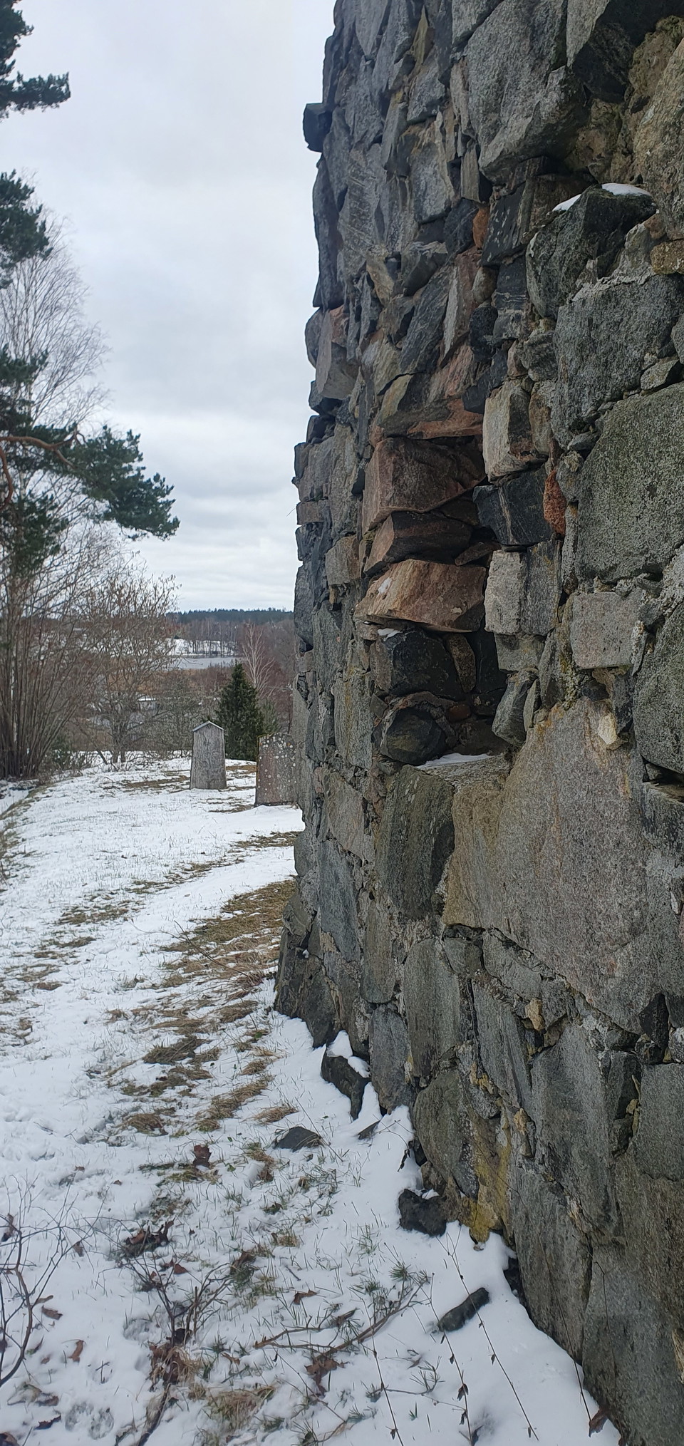
Hannäs kyrkoruin, a medieval church. The new Hannäs church was built in the 1880s, then this site was abandoned. There was a wooden church in Hannäs as early as the 12th or 13th century. In the 15th century, the wooden church was replaced by a stone church…

Archaeological

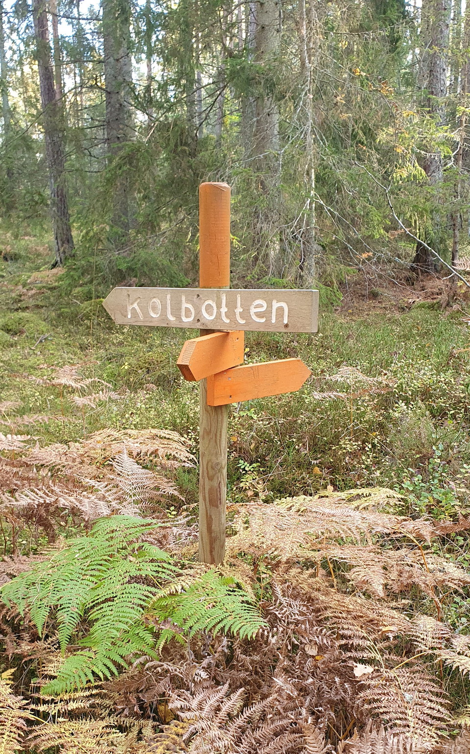
Kolbotten

  • Municipality: Åtvidaberg
  • 6814.35 km away from you

Archaeological

Kolarkoja

  • Municipality: Åtvidaberg
  • 6814.62 km away from you

Archaeological

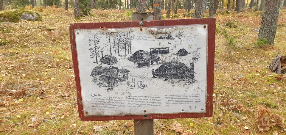
Kolmila

  • Municipality: Åtvidaberg
  • 6791.90 km away from you

Archaeological

Orrnäs kvarn

  • Municipality: Ödeshög
  • 6726.79 km away from you

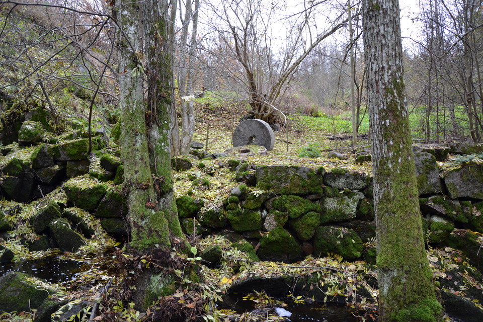
Detta är fornlämningar efter Orrnäs kvarn. Kvarnen finns återgiven på en karta från 1726 och omnämns då som ”Åhrnäs qwarn”. Frälsegården Åhrnäs hade vid denna tid två ”små qwarnar” och fornlämningar efter den andra kvarnen finns längre uppströms vid den övr…

Archaeological

Svämbs tullkvarn

  • Municipality: Ödeshög
  • 6726.77 km away from you

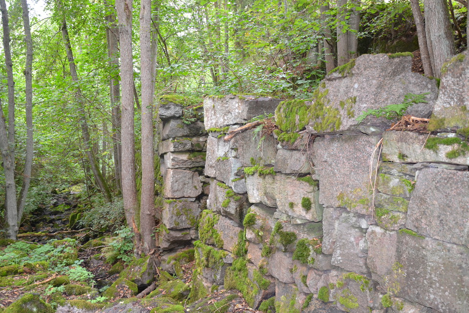
These are ancient remains of the Svämb customs mill. On a map from 1726 the mill is described as "Slottzqwarnen". It was used by the owner of Svämbs Bossgård but the yield/interest went to Vadstena Castle, hence the name. Ceased in 1918 due to the power sta…

Archaeological

Orrnäs såg

  • Municipality: Ödeshög
  • 6726.66 km away from you

Detta är fornlämningar efter Orrnäs såg. I mantalslängden från år 1784 omnämns ”en såg med ett bord” tillhörande Orrnäs gård. Enligt Ortnamnsregistret drevs sågen ”i nedersta Orrnäsafallet” fram till 1884 eller 1885 och flyttades därefter till en plats närm…

Archaeological

Orrnäs manufaktursmedja

  • Municipality: Ödeshög
  • 6726.47 km away from you

Detta är fornlämningar efter Orrnäs manufaktursmedja. I en gammal lagfart från 1858 omnämns smedjan. Den låg alldeles intill åns utlopp i Vättern, den så kallade åmunnen. På platsen finns idag lämningar efter en smedjegrund, en dammanläggning och en stenmur…

Archaeological

Nykvarns sluss

  • Municipality: Linköping
  • 6767.58 km away from you

Naturkartan

Open this in the app