
-
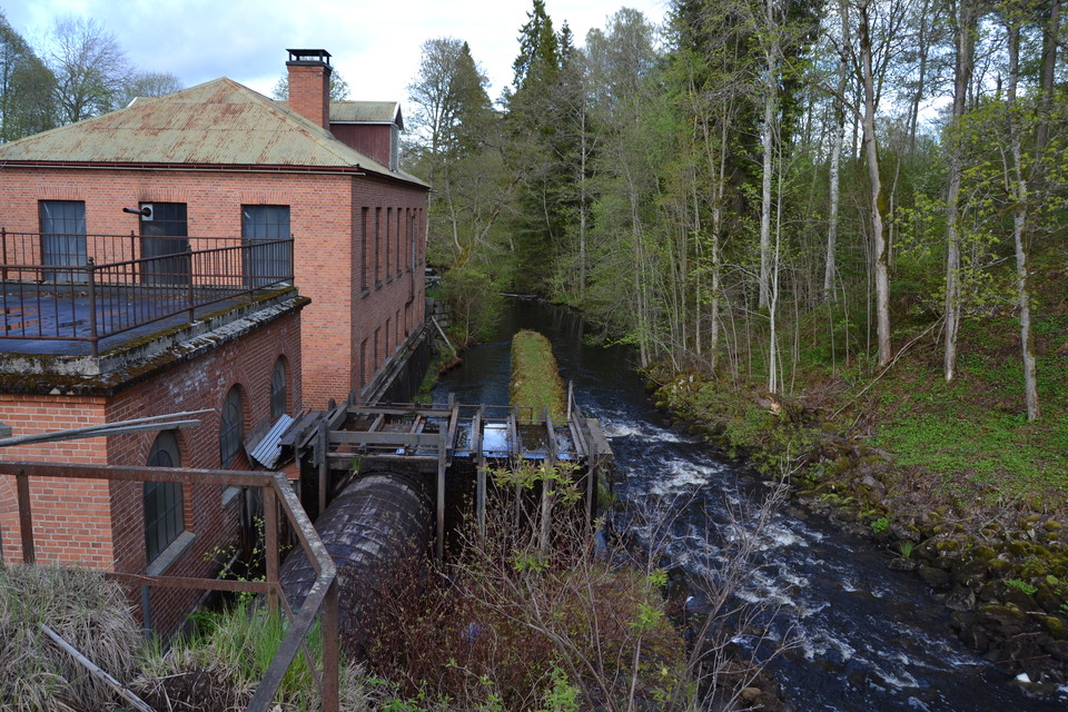
Ryfors -
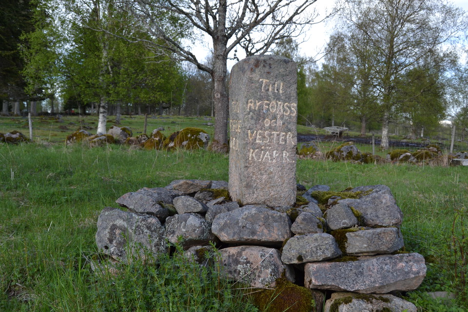
Vägsten -
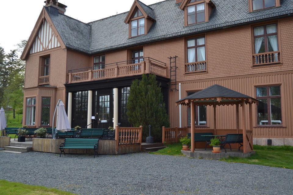
Sjuhäradsleden, etapp 10
- Hiking
- County: Västra Götalands län
- 6694.54 km away from you
Trail details
- Length 21.3 km
Actions
Currently
NOTE! The Sjuhäradsleden trail as a whole is not yet fully quality assured by the principal (Västkuststiftelsen). The trail generally has shortcomings in signage, accessibility, etc. But with Naturkartan's app, accessibility and accessibility increase, which still guarantees a good hiking experience.
Description
An easy stage that only goes on road, mostly on gravel road to Ryfors. To get the last 6 km to Mullsjö, the trail goes into the forest again and follows Södra Vätterleden. Along this stretch you pass the beautiful Trollsjön lake, a small beach at Stråken and 300-year-old pine forest. The trail ends at the historic Hotel Mullsjö.
Activities And Facilities
- Hiking
Contact
Email address
Infocenter Mullsjö kommun
Organization logotype

Please be aware that some of these texts have been automatically translated.
I’ve been here 1

I want to go here 4

Questions & Answers
Ask a question to other Naturkartan users.
Reviews
0 reviews
- 5 :
- 4 :
- 3 :
- 2 :
- 1 :
Users images
No user images yet. Be the first to share!
