
Dvardalaleden
- Hiking
- County: Östergötlands län
- 6779.72 km away from you
Trail details
- Length 5.6 km
Actions
Currently
At Ättetorp the trail runs along a wet area. The footbridges are in very poor condition. Until the municipality has replaced the footbridges, you enter them at your own risk.
Description
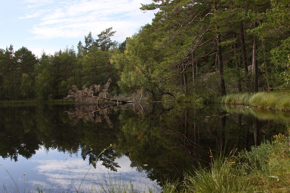
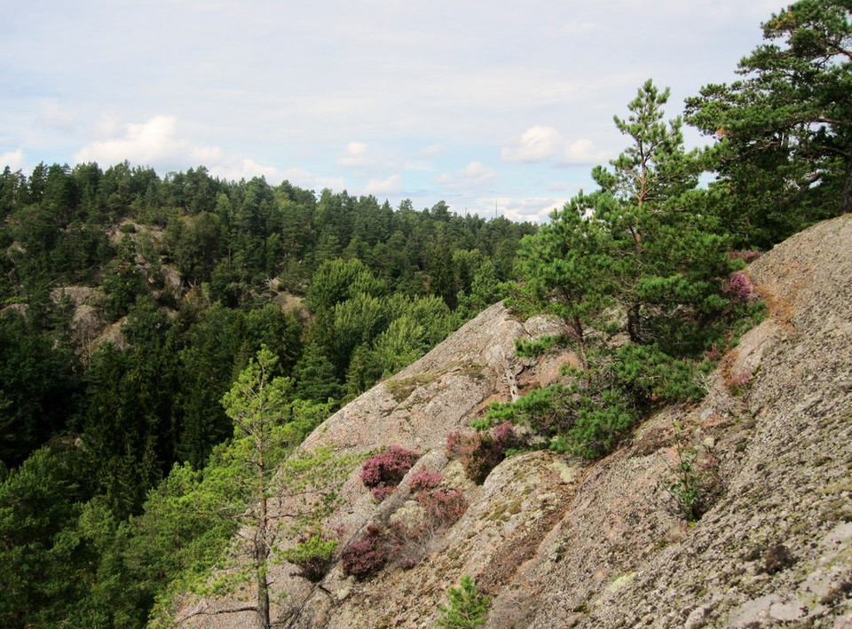
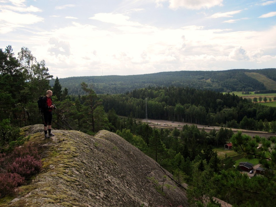
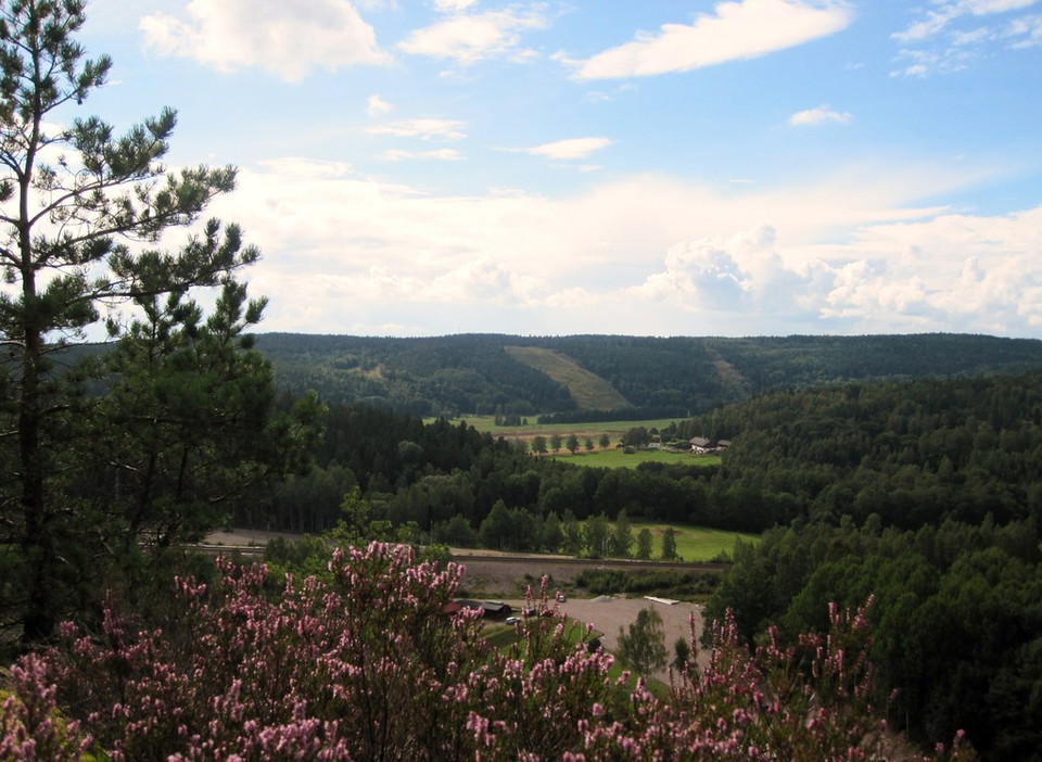
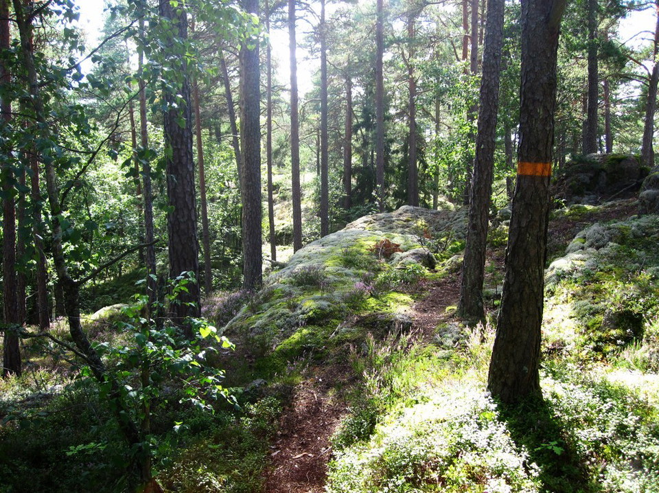
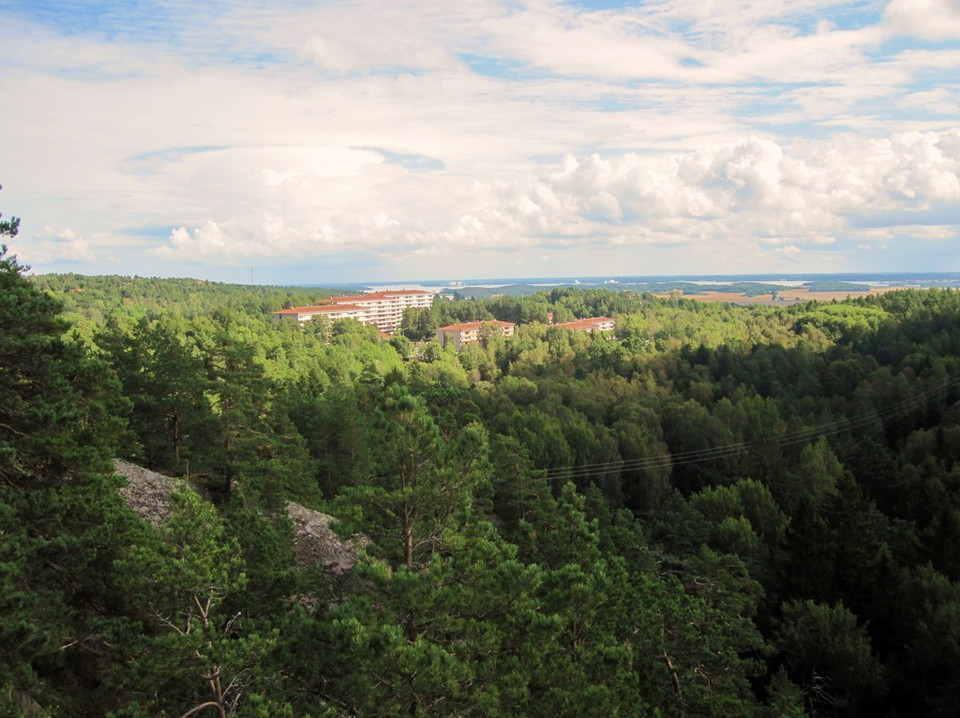
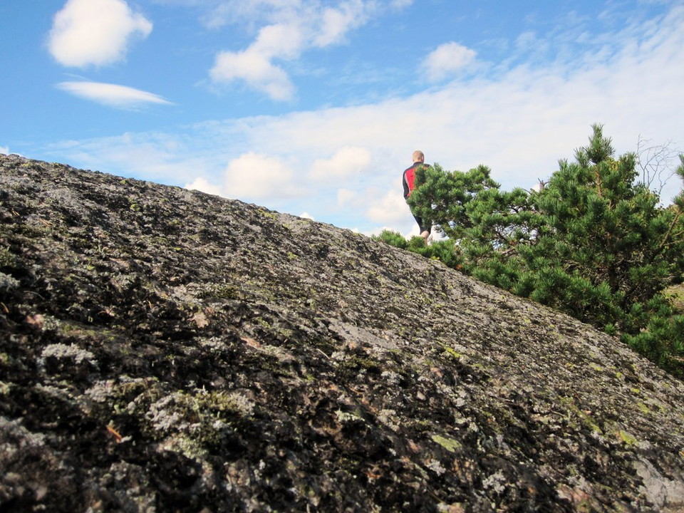
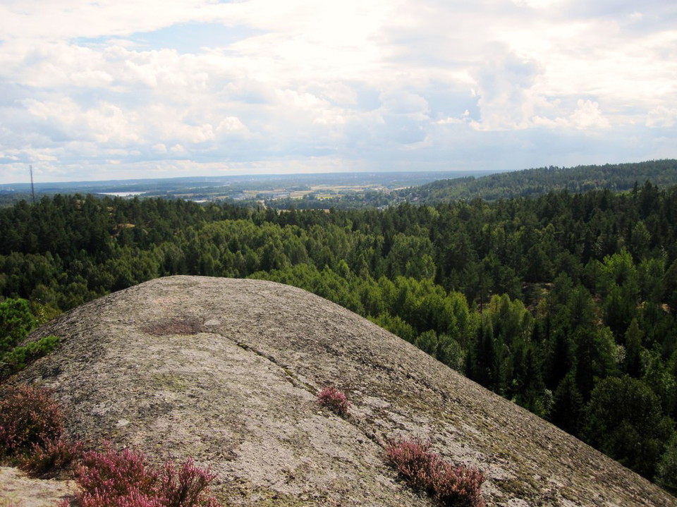
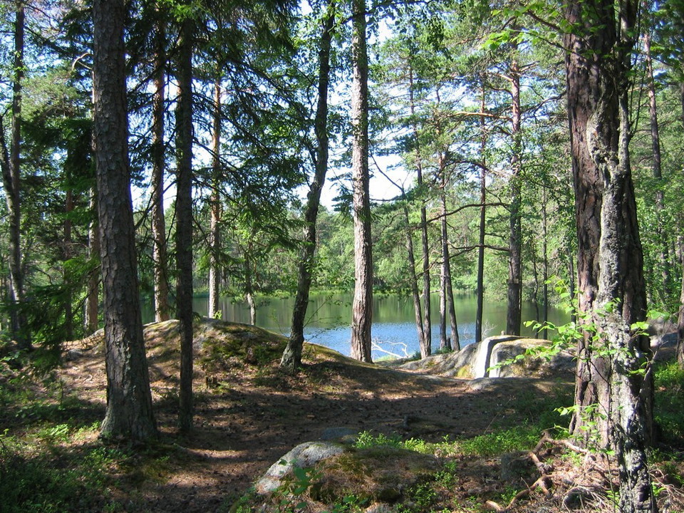
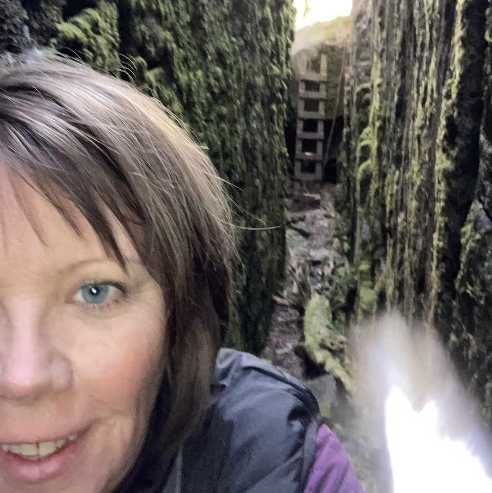
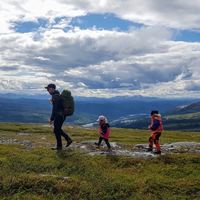
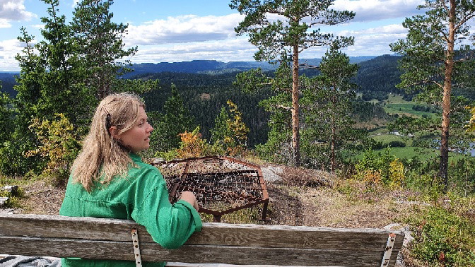
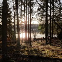
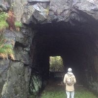
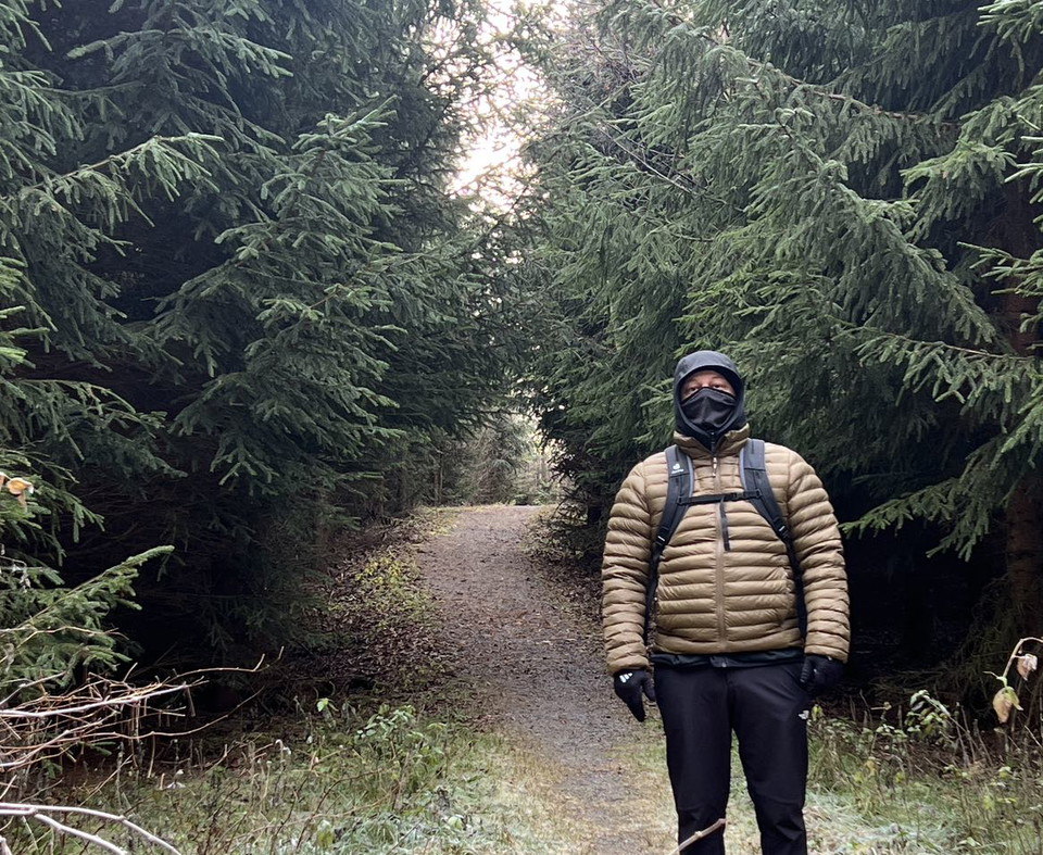
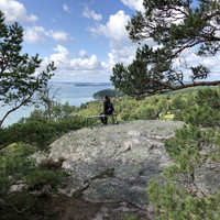
This trail goes through hilly terrain and brings the visitor into close contact with high mountains and deep rift valleys. The trail passes some viewpoints that are worth a visit. It also passes a small but beautiful forest lake with a fireplace. The hilly part has a steep passage with a rope used as an aid to climb the rocks.
Along the trail there are signs about the protection zone of a shooting range located next to the railroad. Stay on the trail and do not enter the danger zone.
Activities And Facilities
- Hiking
Contact
Email address
Norrköpings Kommun
Organization logotype

Please be aware that some of these texts have been automatically translated.
I’ve been here 99
































I want to go here 133














Questions & Answers
Ask a question to other Naturkartan users.
Reviews
12 reviews
- 5 :
- 4 :
- 3 :
- 2 :
- 1 :

Users images
No user images yet. Be the first to share!



Lite tråkig i början men väl värt att fortsätta tills den viker av in i skogen och börjar klättra uppåt.