Östersund

Best hiking trails in Östersund

Naturkartan samlar de vandringslederna i Östersund som är populärast bland våra användare.

Map

25 Best hiking trails in Östersund

Hiking

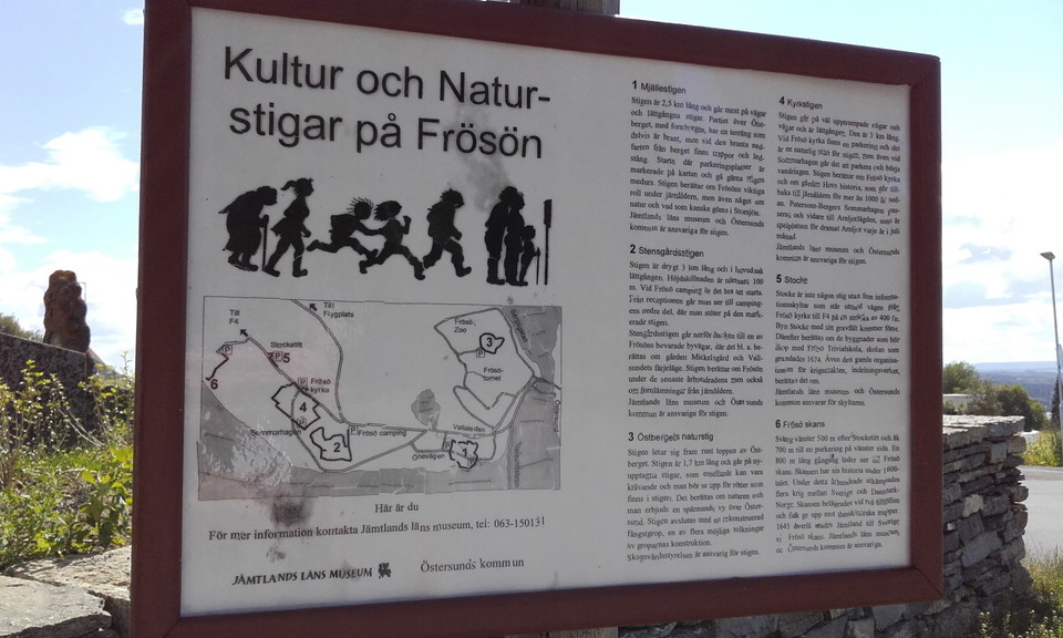
Kyrkstigen på Frösön

  • Municipality: Östersund
  • 6464.08 km away from you
  • 3.3 km
  • Difficulty: Blue

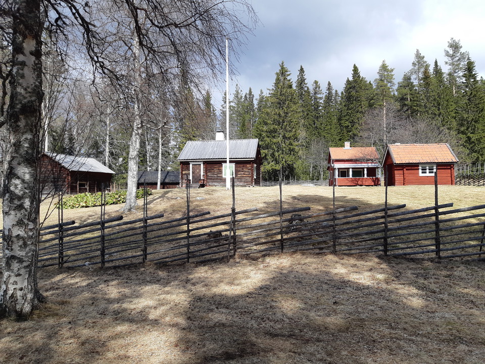
A path that goes through old cultural and agricultural landscape. Along the way you pass Frösö Church, Wilhelm Pettersson-Berger's house Sommarhagen, and Arnljotlägden. The trail runs along well-trodden paths and roads with views of Storsjön and Oviksfjällen.
Trail running

Frösö Park Trail Run 6 km

  • Municipality: Östersund
  • 6460.95 km away from you
  • 5.3 km
  • Difficulty: Blue

Frösö Park has marked out a lovely Trail Run of 6 km. "Enjoy our lovely Trail Run of 6 km for a refreshing run. The trail is marked with orange symbols. Want to challenge yourself with a longer distance? Go ahead and run Bynäset runt for a 13 km run" Frösö…

Walking

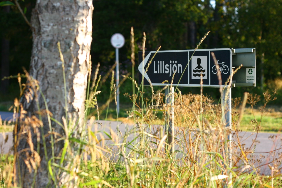
Lillsjön runt

  • Municipality: Östersund
  • 6472.88 km away from you
  • 2.6 km
  • Difficulty: Green

A nice easy trail that goes around Lillsjön.

Skiing

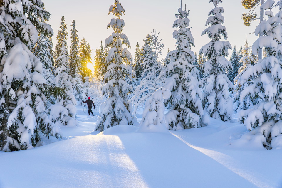
Spikbodarna motionsspår 5 km

  • Municipality: Östersund
  • 6472.92 km away from you
  • 5.0 km

The Spikbodarna trail runs through forest and open areas. It is an easy flat trail without any difficult descents.

Hiking

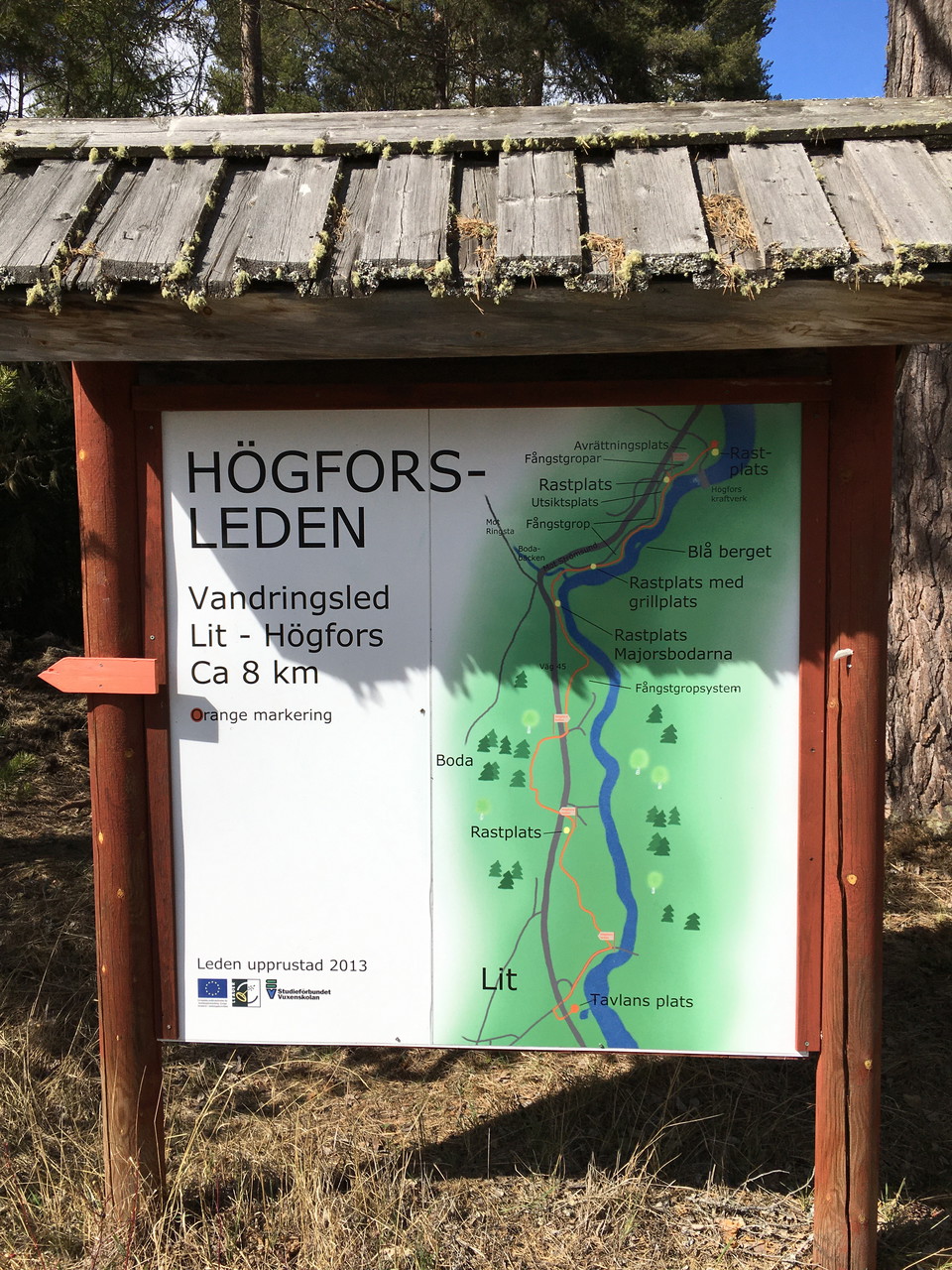
Högforsleden

  • Municipality: Östersund
  • 6470.49 km away from you
  • 9.0 km
  • Difficulty: Blue

A varied trail that goes through different types of forest and on different types of surfaces. A great way to get from Lit north towards Högfors and Häggenås. There are rest areas along the way, mainly at the northern part.

Walking

Hälsans stig

  • Municipality: Östersund
  • 6468.53 km away from you
  • 6.6 km

A nice tour that goes through urban environment and along Storsjön. There is much to see along the way. A large part of the trail runs along Storsjön and passes Göviken and Badhusparken and further by Stortorget and Jamtli and much else worth seeing on the…

Trail running

Spikbodarna motionsspår 5 km

  • Municipality: Östersund
  • 6472.92 km away from you
  • 5.0 km
  • Difficulty: Blue

The Spikbodarna trail runs through forest and open areas. There are some wet and muddy sections along the route.

Trail running

Spikbodarna motionsspår 13 km

  • Municipality: Östersund
  • 6472.93 km away from you
  • 12.7 km
  • Difficulty: Red

Spikbodarna's exercise trail runs through forest, over open areas and across marshland. A flat trail with very little uphill and downhill.

Lighted trails

Lugnviks motionsspår

  • Municipality: Östersund
  • 6467.35 km away from you
  • 2.4 km
  • Difficulty: Green

Lugnvik's exercise trail runs through varied forest. Nice and easy running track.

Walking

Torvalla konststig

  • Municipality: Östersund
  • 6476.83 km away from you
  • 1.0 km

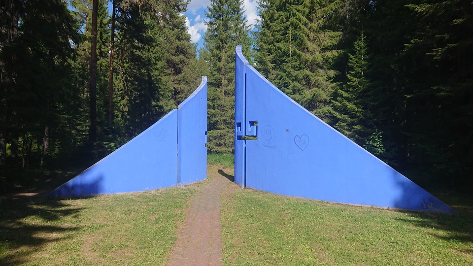
In the middle of the forest, following a path that offers more surprises, you will also find exciting works of art. There is also a trapping pit system for catching moose. The trail is short and easy to follow. Some written information is available on both…

Walking

Östbergets motionsspår

  • Municipality: Östersund
  • 6467.54 km away from you
  • 2.3 km
  • Difficulty: Blue

A hilly exercise trail where the surface is mainly gravel road or forest road. It runs in a nice forest and in some places you get a nice view of Östersund.

Hiking

Bynäsets genväg

  • Municipality: Östersund
  • 6460.27 km away from you
  • 2.4 km
  • Difficulty: Blue

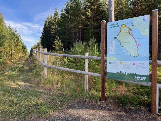
Bynäset's shortcut starts and ends at the large parking lot, but turns off from Bynäset around and goes along the fence over the isthmus. The trail is about 2.4 km long and runs on gravel road, path and footbridge over wetter areas. The northern part starts…

Lighted trails

Torvalla motionsspår

  • Municipality: Östersund
  • 6475.45 km away from you
  • 3.0 km
  • Difficulty: Blue

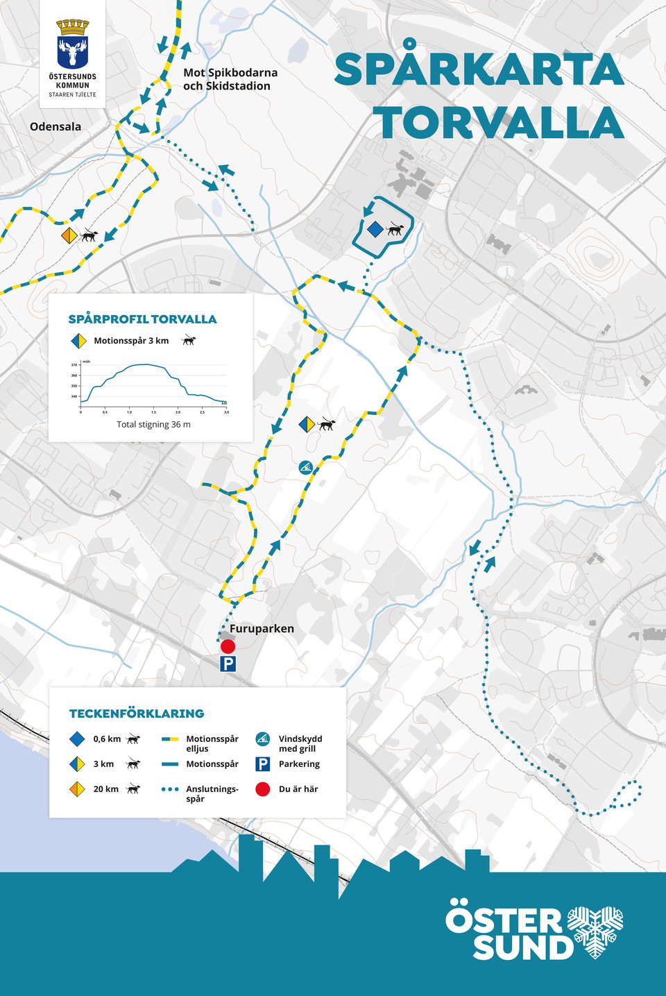
You can get on the electric light trail in Torvalla at several places, including at Furuparken where there is parking. There are shelters with barbecue areas along the trail. At Torvallaskolan there is a shorter trail adapted for the very youngest.

Hiking

Toppstigen på Östberget

  • Municipality: Östersund
  • 6467.44 km away from you
  • 4.8 km
  • Difficulty: Red

The trail goes around the top of Östberget but is possible to connect from several "entrances" around the mountain. The trail passes nice viewpoints, barbecue areas, cold spring, windbreak and Frösötornet. A challenging trail that is steep in parts with a t…

Best hiking trails in Östersund

Naturkartan samlar de vandringslederna i Östersund som är populärast bland våra användare.

Naturkartan

Open this in the app