
Bynäset runt
- Hiking
- Running
- Trail running
- Near parking
- County: Jämtlands län
- 6460.28 km away from you
Trail details
- Length 7.0 km
- Difficulty Red — demanding
Actions
Description

Activities And Facilities
- Running
- Hiking
- Trail running
Accessibility
- Near parking
Facts
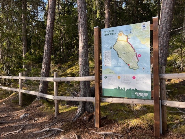
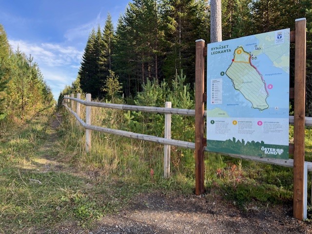
Bynäset is a former military area that is partly open to the public. The areas that are still forbidden to enter are delimited by wooden fences. Inside the wooden fence there are yellow prohibition signs.
Surface
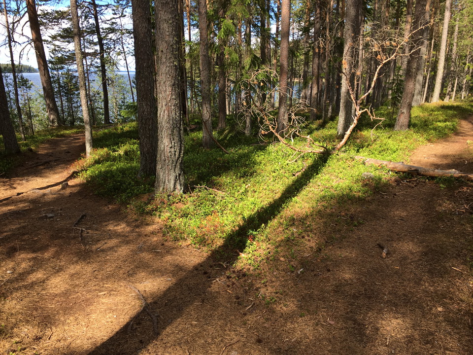
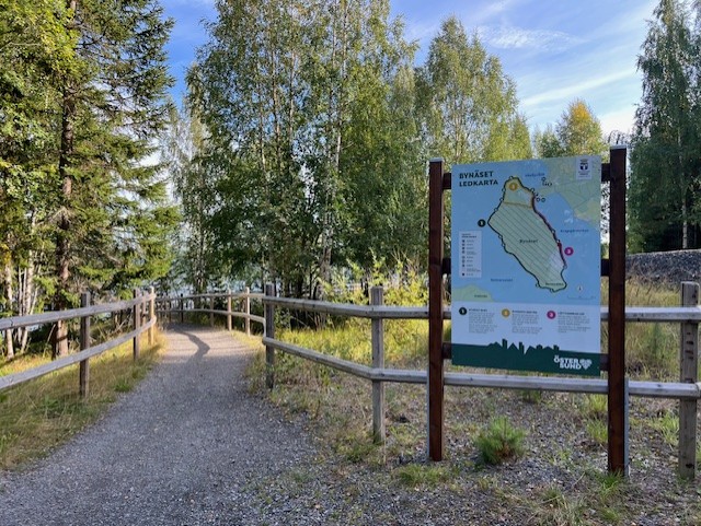
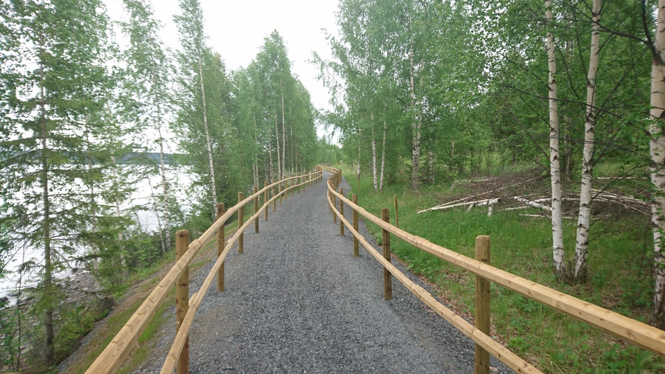
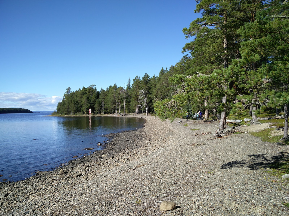
The southern end of the trail is accessible with a gravel path. The rest of the trail is a forest path where there are a lot of roots and in a few places a little wetter surface.
Parking
There is a large parking lot adjacent to the trail.
Contact
Address
Kultur- och fritidsförvaltningen Box 705 831 28 Östersund
Email address
Jens Tirén
Organization logotype

Please be aware that some of these texts have been automatically translated.
I’ve been here 34









I want to go here 26








Reviews
3.8
1 review
- 5 :
- 4 :
- 3 :
- 2 :
- 1 :
Questions & Answers
Ask a question to other Naturkartan users.
Users images
Share your photos of the place!

Fint, men tyvärr är det ofta alldeles för många människor här