
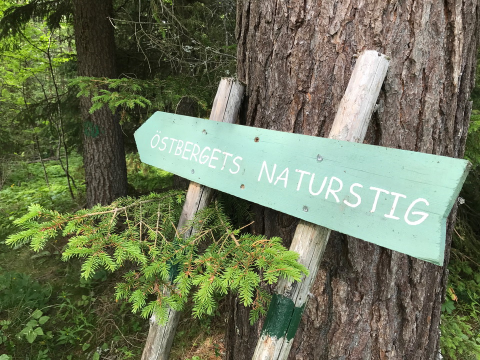
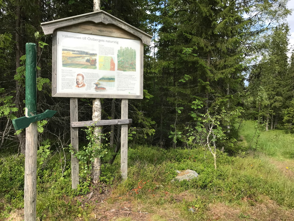
Östbergets naturstig på Frösön
- Hiking
- Near parking
- Culture trail
- Circular trail
- County: Jämtlands län
Trail details
- Length 2.6 km
- Difficulty Blue - medium
Actions
Description
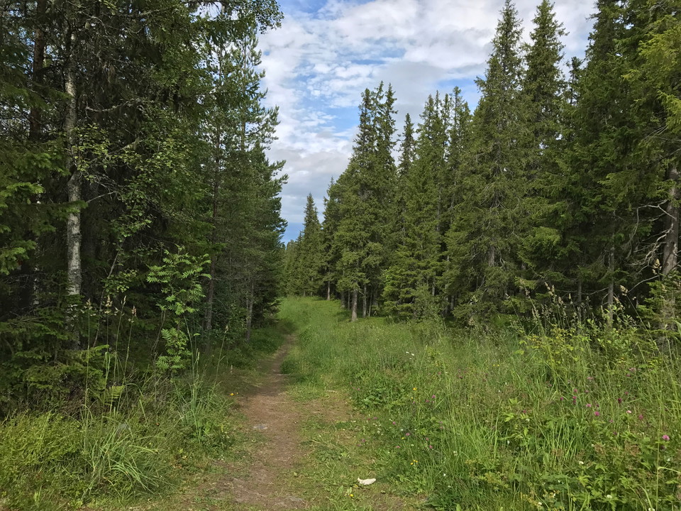
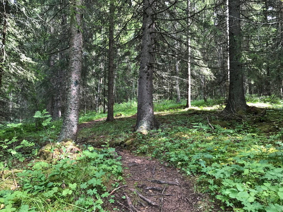
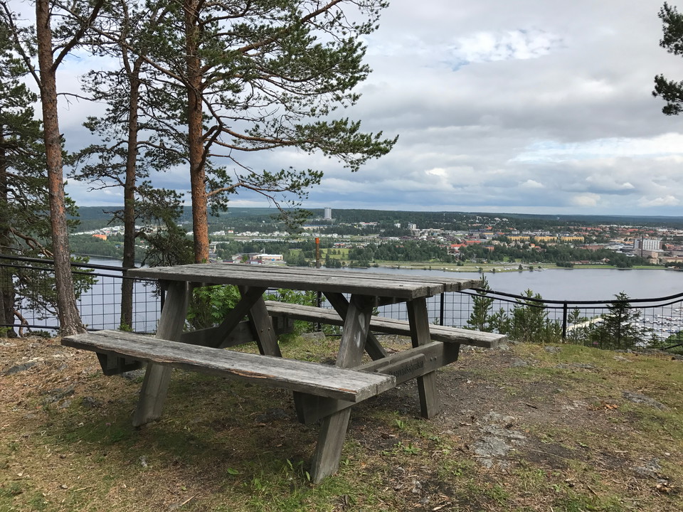
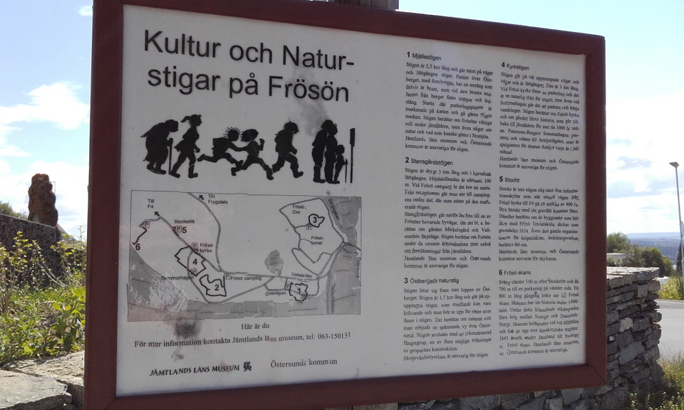
A path that goes around the top of Östberget on Frösön with nice views of Östersund. Occasionally you should watch out for roots on the path which is partly a bit wet and muddy. Signs along the way tell you about the nature around you.
Activities And Facilities
- Hiking
- Culture trail
- Circular trail
Accessibility
- Near parking
Surface
Forest path with a lot of roots and mud.
Parking
Parking at the Östberget railway station.
Directions
Start at the railroad station on Östberget. Follow Byvägen on Frösön to the exit towards Toppvägen, alternatively follow Fröjavägen on Frösön to the exit towards Toppvägen.
Downloads
Contact
Address
Kultur- och fritidsförvaltningen Box 705 831 28 Östersund
Email address
Jens Tirén
Organization logotype

Please be aware that some of these texts have been automatically translated.
I’ve been here 19






I want to go here 16


Questions & Answers
Ask a question to other Naturkartan users.
Reviews
1 review
- 5 :
- 4 :
- 3 :
- 2 :
- 1 :
Users images
No user images yet. Be the first to share!

Fina nya spänger, tack!