
-
-
-
-
-
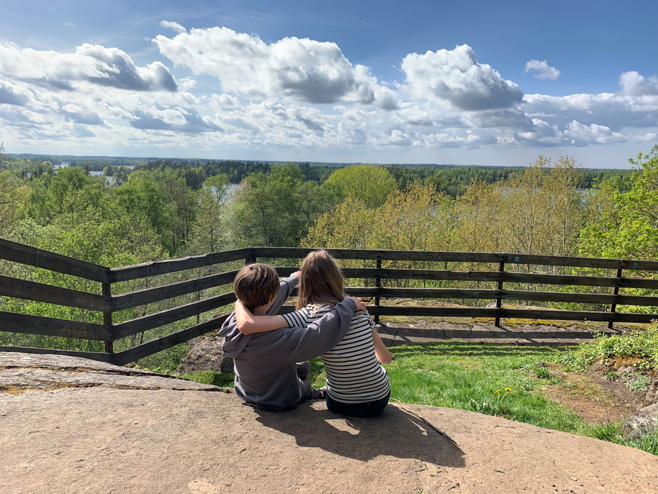
Gör en avstickare till Taxås Klint. Följ blå slinga i Taxås naturreservat. -
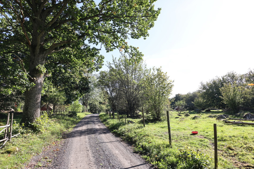
Höö naturreservat. Missa inte att vika av och gå Höö vandringsled, blå för att uppleva detta. -
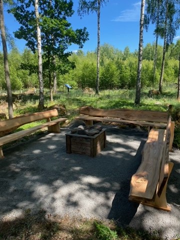
-
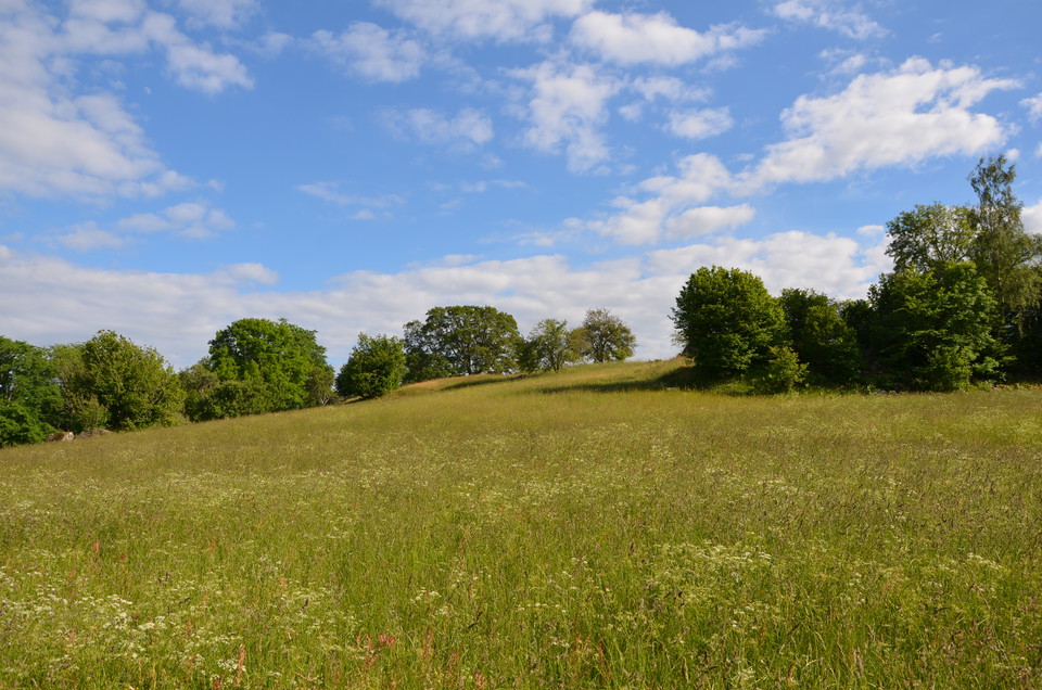
-
-
-
Insjöslingan – part of Smålandsleden
- Circular trail
- Hiking
- Trail running
- County: Kronobergs län
- 6788.77 km away from you
Trail details
- Length 14.1 km
Actions
Currently
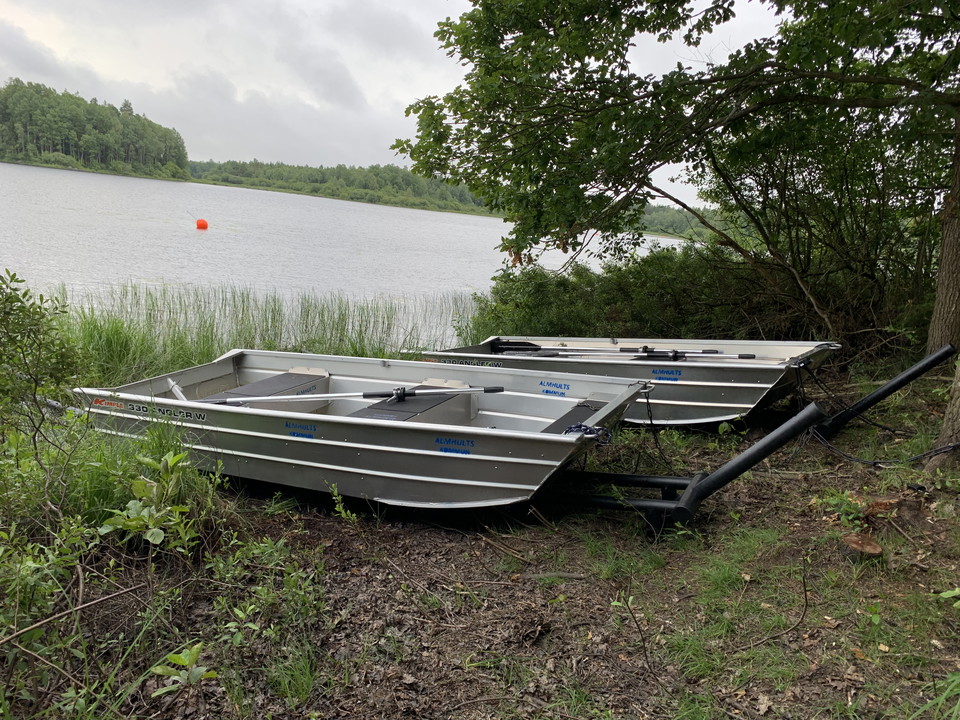
The boats are in the water
The boats are in place along the trail. Life jackets for adults and children are available on site. You’re warmly welcome!
Free-roaming cattle graze on Lång all summer. Keep your distance from the animals.
Description
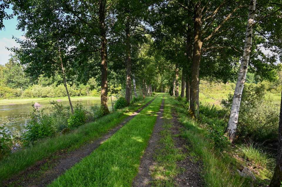
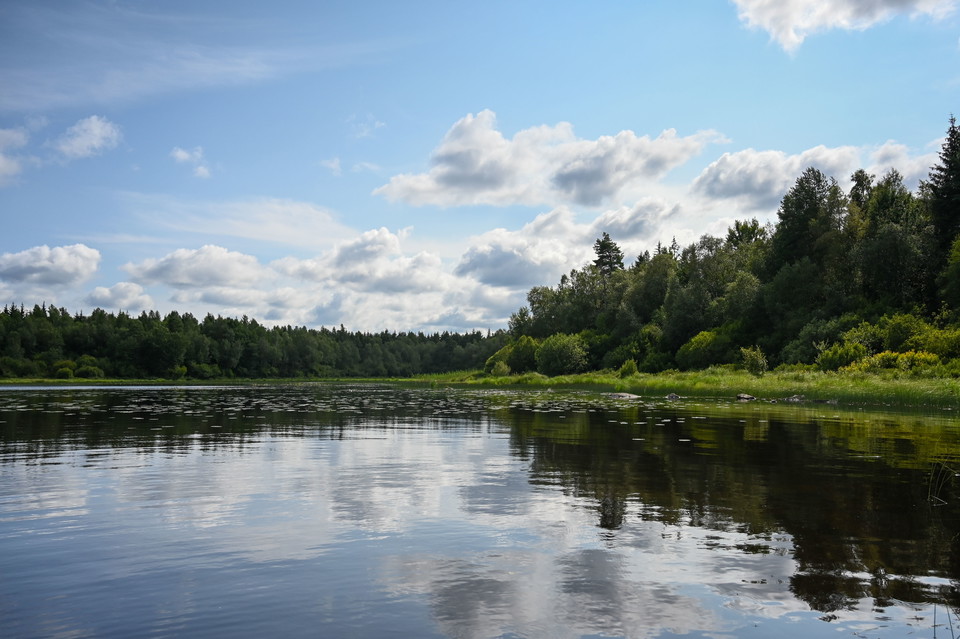
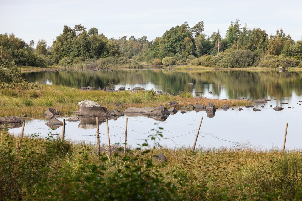
Experience the fantastic Insjöslingan trail, which gives you the opportunity to discover Insjön, a beautiful bay in Lake Möckeln, up close. Here, you have the good chance to see birds along the hiking trail.
Note: To get around Insjöslingan, you need to row across the strait between Lång and Möckelnsnäs by boat.
Read more about the three-boat system between Lång and Möckelnsnäs
Biodiverse environments on Höö
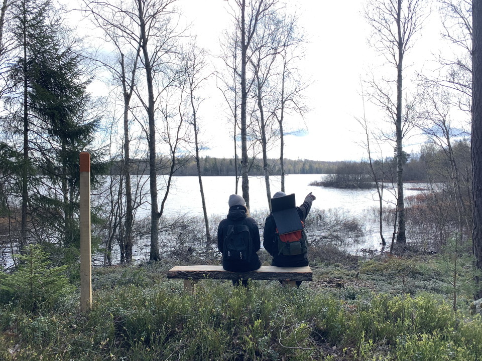
Along the trail, you will pass through two different nature reserves. Take the chance to explore one of Småland’s most species-rich natural environments in Höö and to enjoy the amazing view over lake Möckeln from the hill in Taxås.
Read more about Höö nature reserve
Lake views and trolls at Taxås
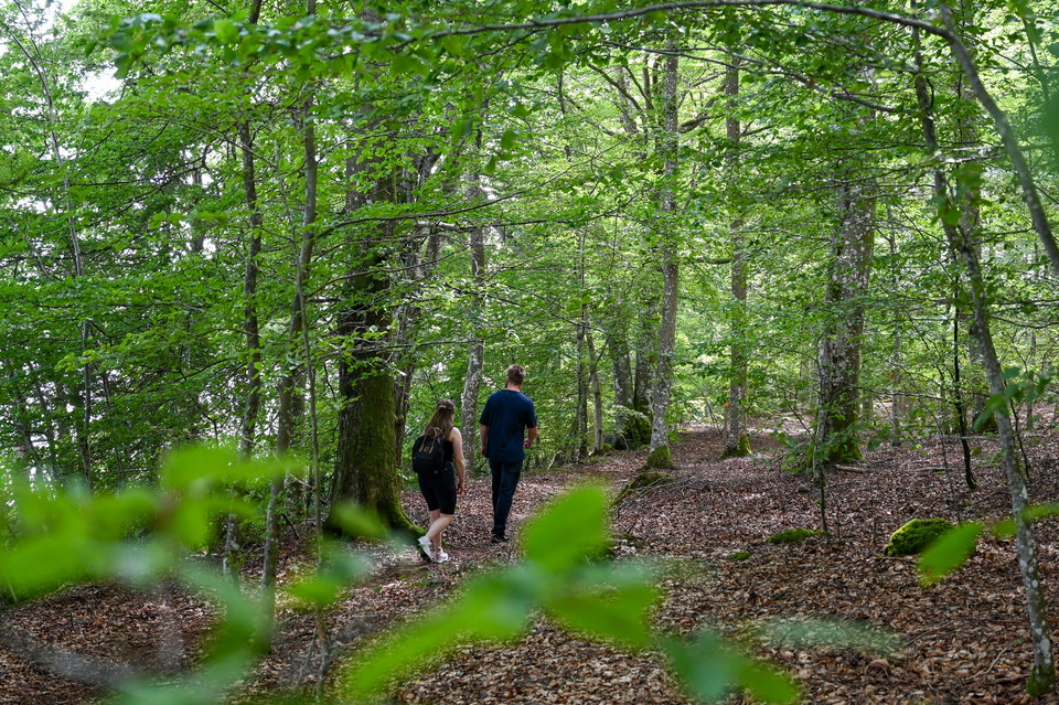
Taxås Nature Reserve consists of beautiful hardwood forest and impressive farmland. Taxås Mountain is named after the Danish commander Taxe, who is said to have been killed by his own men. Everyone knows that trolls have lived among the cliffs of Taxås since time immemorial.
There are two trails in the reserve. The northern trail passes a stone coffin near the barn at the present-day Taxås farm and continues up towards Taxås Klint. At the top of the cliff, you have a beautiful view of Lake Möckeln. The southern trail takes you out into the pasture landscape.
Activities And Facilities
- Hiking
- Trail running
- Circular trail
Downloads
Contact
Email address
Älmhults turistinformation
I’ve been here 6


I want to go here 26


Questions & Answers
Ask a question to other Naturkartan users.
Reviews
4 reviews
- 5 :
- 4 :
- 3 :
- 2 :
- 1 :
Supertrevlig runda, tog oss runt på cykel och det fungerade nästan smärtfritt 😅 Lite svårt med de små stigarna precis innan och efter vattenövergången med båtarna. när vi var där var det väldigt grunt med vatten så svårt att putta ut båtarna från stranden på norra sidan. Försökte vada ut men bottnen var så mjuk att man sjönk ned direkt upp till knäna. kunde varit lite längre fästen för årorna på båtarna, de hoppade lätt ur hållarna i båten när man rodde.
Users images
No user images yet. Be the first to share!

Mycket grusväg och däremellan stig som kunde varit fin, men leden är tyvärr dåligt underhållen och hade behövt röjas. Det saknas ledmarkeringar på sina ställen vilket innebar att man fick ta upp kartappen onödigt många gånger för att kolla vart man skulle. Bitvis väldigt fin natur, men trist att leden inte är skött eller tillräckligt väl utmärkt.