ARK56
Connected coastal trails in a UNESCO biosphere ...
Användare av Naturkartans app för Android rapporterar i sommar att appen är seg mm. Vi rekommenderar att man raderar appen helt från sin telefon i så fall och laddar ned igen! Då skall den fungera bättre. Den befintliga appen skall ersättas av en ny app efter sommaren. Den gamla appen laddar all data för hela landet lokalt i appen (för att klara offline-läge) men det innebär att den blir för stor för vissa telefoner - då behöver den raderas och laddas ned igen!

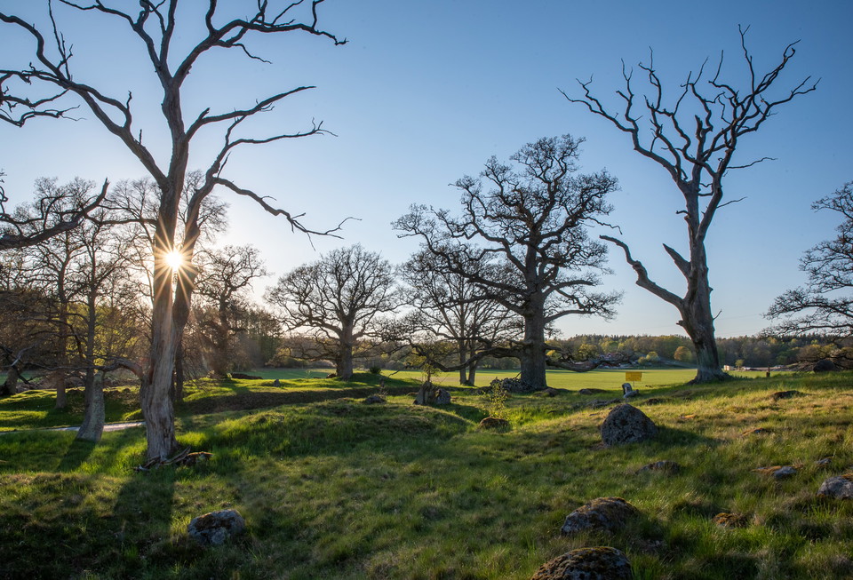
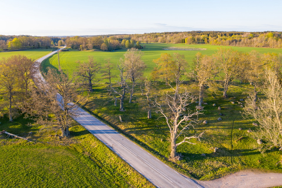
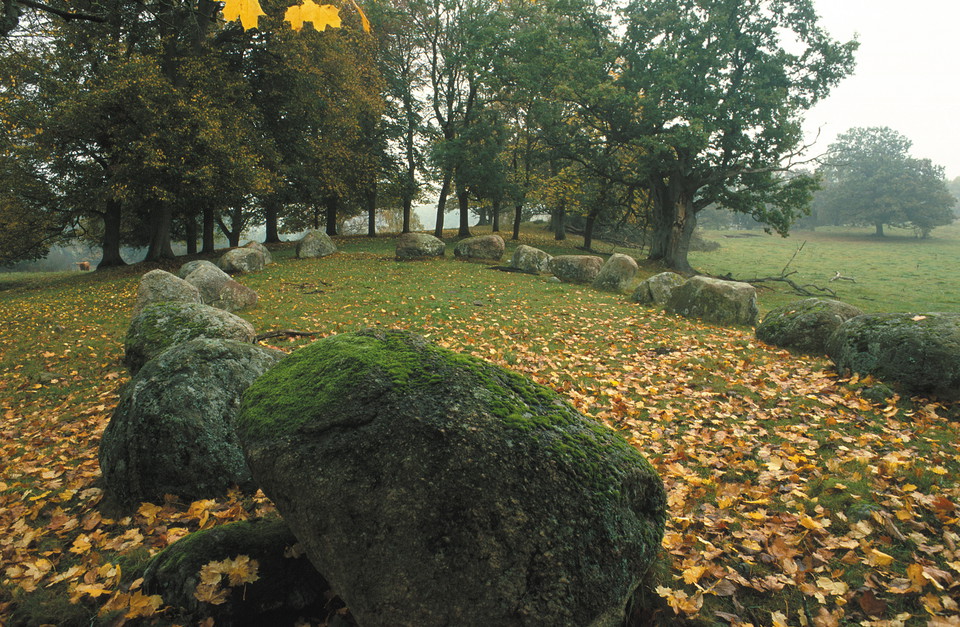
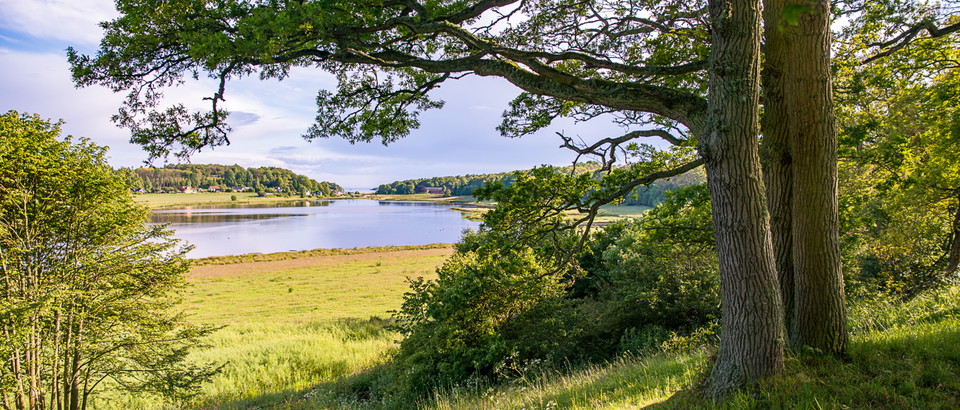
The Johannishusåsen ridge gently rises on the horizon, wending its way through fertile farmland. The nature reserve runs for 6 kilometres from Hillerslätt in the north to Hjortsberga in the south. The ridge is mainly grazing land with ancient knotty oak trees. This beautiful park-like landscape is primarily the result of the formation of the Johannishus Gods estate in the late seventeenth century. The estate maintained the meadows and grazing land for centuries.
Bus 255 from Ronneby travel center to the stop "Tvingsvägen Ronneby" takes twelve minutes. From the stop it is 400 meters to the nearest part of the nature reserve.
Länsstyrelsen Blekinge

Please be aware that some of these texts have been automatically translated.




Ask a question to other Naturkartan users.
0 reviews
No user images yet. Be the first to share!