
-
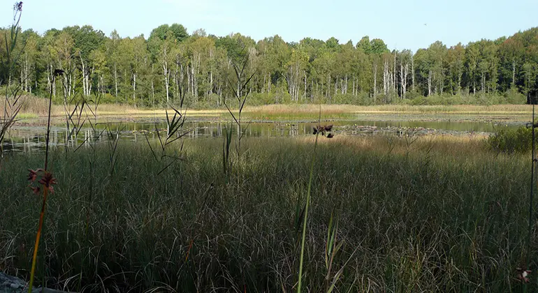
Photo: Lars-Göran Olsén -
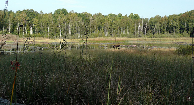
Photo: Lars-Göran Olsén
Bråtabron, Naturreservat
- Nature reserve
- County: Blekinge län
Actions
Description
Activities And Facilities
- Nature reserve
Facts
Year of protection: 2014
Municipality: Ronneby
Characteristics: Deciduous forest, mixed forest, lakes, cultural history
Area: 38.2 hectares, of which 31 hectares are land and 7.2 hectares water
Landowners: Private
Manager: Blekinge County Administrative Board
Type of protection: Nature reserve
Directions
Bråtabron is located 3 kilometers east of Backaryd, along the road towards Möljeryd. About 200 meters east of the turnoff towards Bråtabron village there is a signposted parking lot.
Regulations
You are welcome to visit Bråtabron, but please note that it is not allowed to:
- damage the ground, destroy or damage fixed natural objects or surface formations,
- damage stone walls, cairns or other cultural-historical remains,
- unreasonably disturb wildlife
- damage growing or dead trees and shrubs, or vegetation in general,
- pick mosses, lichens or wood-living fungi, other than what is reasonably necessary for species identification,
- carry a loose dog other than for hunting
- driving a vehicle, riding a horse or riding a bicycle
- camping or pitching a caravan or motor home for more than 24 hours
- make a fire
- capture and collect invertebrates in such a way as to damage or destroy their biotopes or reproductive habitats.
Without permission from the county administrative board, you may not either:
- conduct scientific research involving sampling or installation of equipment
- use the area for competitions or exercises that may disturb nature or the public's outdoor life,
- put up a board, poster, poster, sign, inscription or similar device.
Contact
Email address
Länsstyrelsen Blekinge
Organization logotype
Please be aware that some of these texts have been automatically translated.
I’ve been here
I want to go here 1

Questions & Answers
Ask a question to other Naturkartan users.
Reviews
0 reviews
- 5 :
- 4 :
- 3 :
- 2 :
- 1 :
Users images
No user images yet. Be the first to share!
