
-
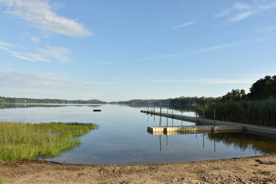
Photo: Trosa turistcenter -
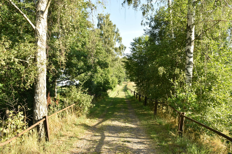
Photo: Trosa turistcenter -
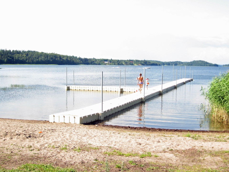
Photo: Trosa turistcenter -
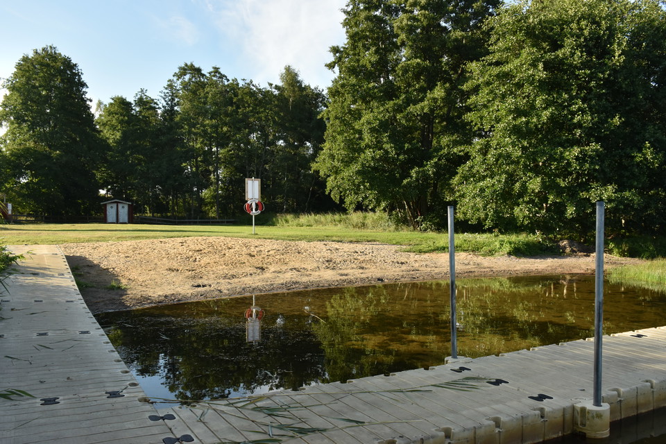
Photo: Trosa turistcenter
Beach, Sillebadet
- Bathing
- Stroller accessible
- Near parking
- Near Public Transport
- Near toilet
- Public Transport
- Toilet
- Children's adventure
- County: Södermanlands län
- 6827.83 km away from you
Actions
Description
Sillebadet is located at the southern end of lake Sillen. A perfect place for the whole family. There is a sandy beach and a large lawn to spread out a blanket on. A long jetty, which also divides the shallows from the deep, leads out into the water. A little further out into the water there is a diving board.

Activities And Facilities
- Public Transport
- Toilet
- Bathing
- Children's adventure
Accessibility
- Stroller accessible
- Near parking
- Near Public Transport
- Near toilet
Facts
On the beach there is: lifebuoy, information sign, 50 meter long jetty with bathing ladders, free-standing jetty, open changing cabin and toilets.
Parking
Parking on a gravel lot near the T-junction (Sillevägen/Västerleden), entrance from Västerleden. There is a footpath to the swimming area from there.
Directions
The bathing area is located in Västerljung, where Västerleden ends. About 10 km from Trosa center and 5 km from Vagnhärad center.
Contact
Email address
Trosa kommuns turistcenter
Organization logotype

Please be aware that some of these texts have been automatically translated.
I’ve been here 1

I want to go here 1
Questions & Answers
Ask a question to other Naturkartan users.
Reviews
0 reviews
- 5 :
- 4 :
- 3 :
- 2 :
- 1 :
Users images
No user images yet. Be the first to share!
