
-
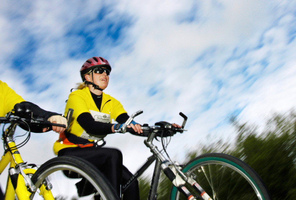
Oskar Lüren -
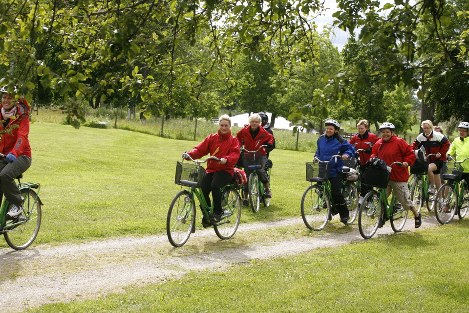
Motala cykelstad -
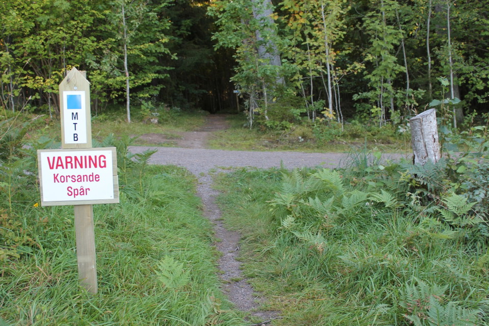
Henrik Sandberg -
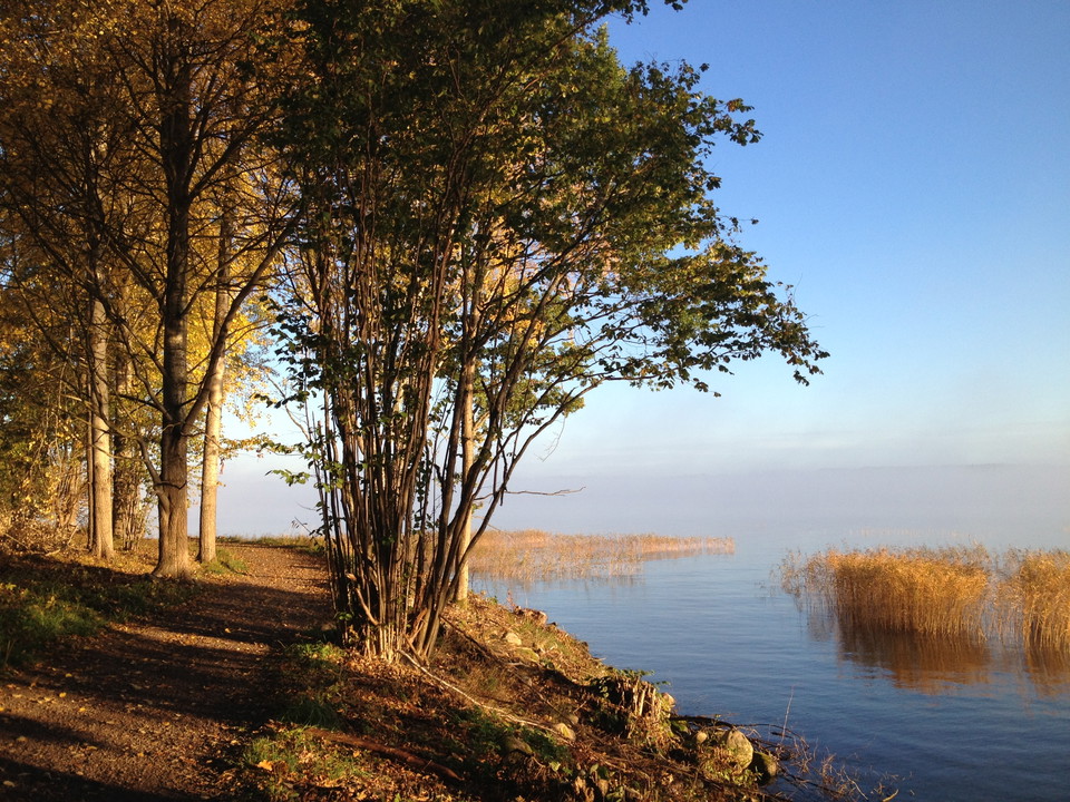
Henrik Sandberg -
Henrik Sandberg -
Motala cykelstad
Vätternrundan's mountain bike trail around Motala
- Biking
- County: Östergötlands län
- 6728.18 km away from you
Trail details
- Length 35.0 km
Actions
Description
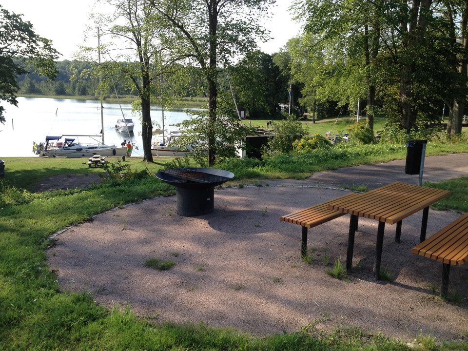
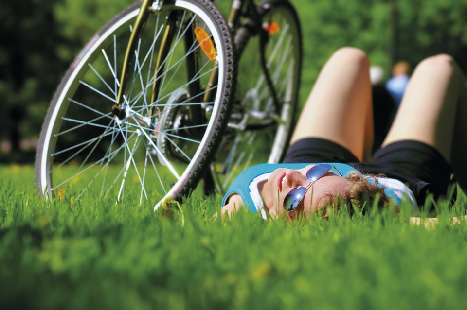
The MTB track runs on local cycle paths and in the terrain around Motala and is inaugurated as part of Vätternrundan's anniversary celebration in 2015. The MTB track is donated as a gift from Vätternrundan to the municipality and its inhabitants where the underlying purpose is to contribute to better public health and get more people in Motala to cycle. It also helps to create a trail where tourists can experience and see Motala. On the tour you pass Motalabron, Fålehagen, Bondebacka, Staffanstorp nature reserve, Varamon and much more! The trail's various environmental changes mean that you pass surfaces such as paths, exercise tracks, gravel roads & asphalt. The MTB track is a total of about 37 km long. Start and finish are at Stadsparken in Motala center.
Activities And Facilities
- Biking
Contact
Address
Kontakta mig om du har frågor om Motalas Naturkarta.
Email address
Hilda-Linn Berglund
Organization logotype

I’ve been here 2

I want to go here 6
Questions & Answers
Ask a question to other Naturkartan users.
Reviews
1 review
- 5 :
- 4 :
- 3 :
- 2 :
- 1 :
Users images
No user images yet. Be the first to share!

Vilken trevlig led. Cyklade Råssnäsudden idag tillsammans med ett barnbarn. Mycket bra tillskott till cykellivet i Östergötlands sjö- och cykelstad🚴😉