
Strömbergshyttan XCO
- Mountainbiking
- Circular trail
- County: Kronobergs län
- 6837.17 km away from you
Trail details
- Length 2.8 km
- Difficulty Red - demanding
Actions
Description
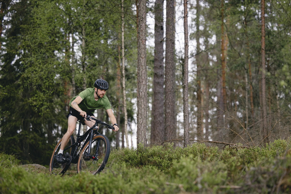
Between Hovmantorp and Lessebo you will find the Strömbergshyttan MTB trail. Despite its relatively short distance, the trail is demanding and virtually every hill and crest is utilized to create a fun but also challenging trail.
Here you will find technical climbs and also fast-paced downhill runs.
On several of the tougher sections, you can choose between two levels of difficulty, so this is a trail that can be cycled many times.
Activities And Facilities
- Mountainbiking
- Circular trail
Facts
Highest point: 201 meters
Lowest point: 164 meters
Parking
There is plenty of parking right next to the trail.
Communications
Busshållplats finns utefter väg 25. Hållplatsen heter Strömbergshyttan.
Directions
Drive in at Strömbergshyttan along road 25.
Contact
Email address
Destination Glasriket AB
Please be aware that some of these texts have been automatically translated.
I’ve been here
I want to go here 1

Questions & Answers
Ask a question to other Naturkartan users.
Reviews
0 reviews
- 5 :
- 4 :
- 3 :
- 2 :
- 1 :
Users images
No user images yet. Be the first to share!
