Kottmosserundan

  • Walking
of 5 stars

Trail details

  • Length 3.5 km
  • Time 45 min
  • Difficulty Blue — medium

Actions

  • Directions

Description

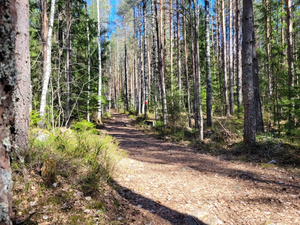
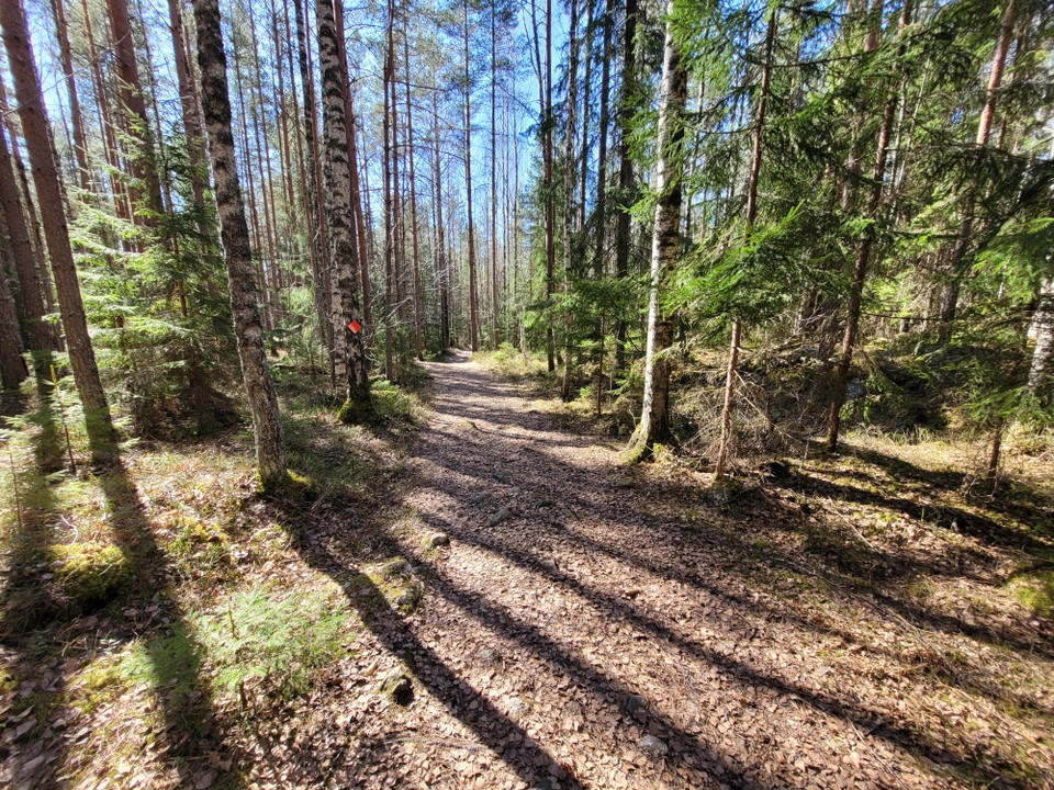
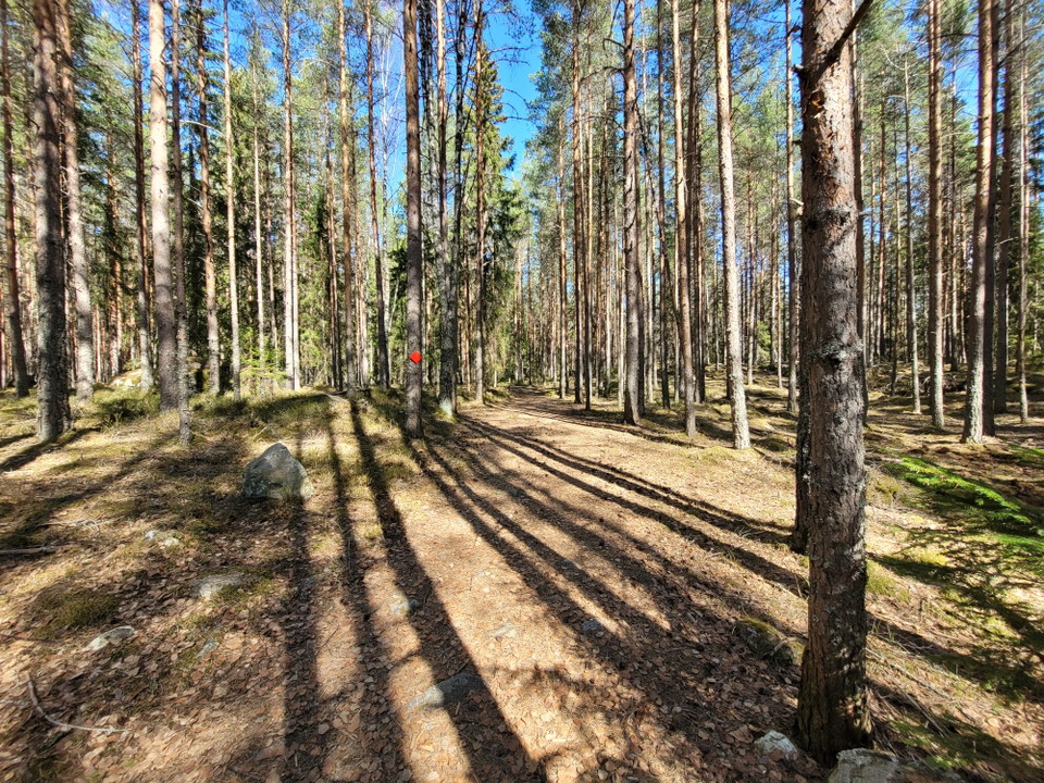
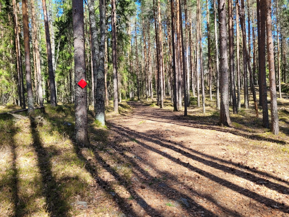
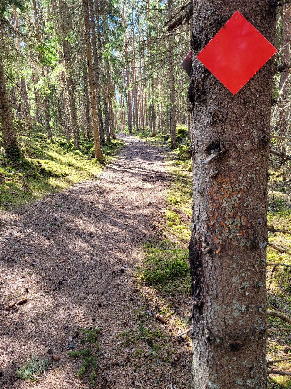
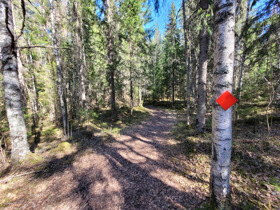
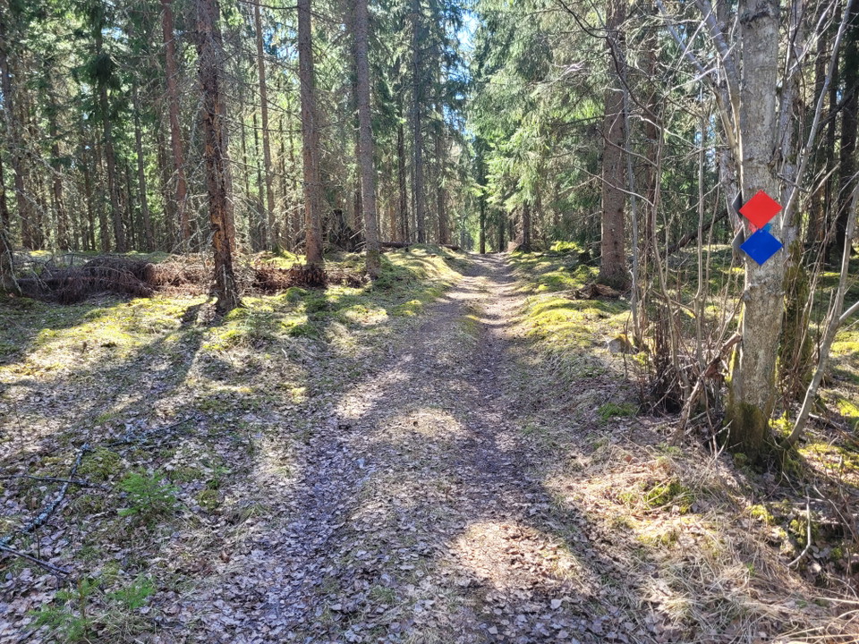
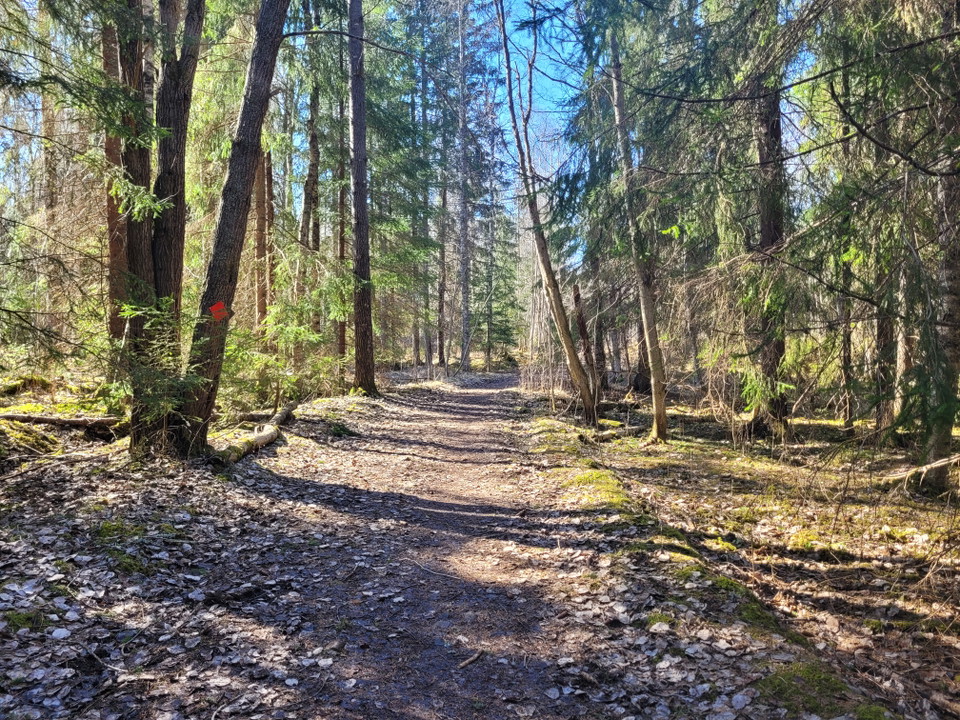
Welcome to hike along Kottmosserundan. Kottmosserundan runs in varied terrain, from slightly denser spruce forest to beautiful sparse pine forest. The surface varies between forest road, wide forest path to ordinary narrower forest path. For the most part, it runs along the wide forest path. Roots and stones along the entire loop are relatively extensive.

From the southern part of Kottmosserundan (red) you can get to a shelter with associated barbecue area located about 250 meters from the round in a southerly direction.

Weather forecast (at 12:00)

Loading…

Get here by public transport

Activities And Facilities

  • Walking

Downloads

Contact

Email address

Fagersta kommun

+46 223 440 00

Please be aware that some of these texts have been automatically translated.

I’ve been here 2

I want to go here 1
Reviews

—

0 reviews

of 5 stars

5 :
0.0%
4 :
0.0%
3 :
0.0%
2 :
0.0%
1 :
0.0%

Questions & Answers

Ask a question to other Naturkartan users.

Users images

Share your photos of the place!

Naturkartan

Open this in the app