
Walking
Västmanlands län
Images
Map
33 Walking
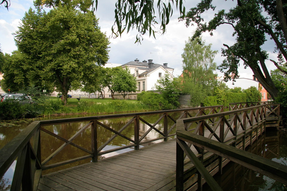
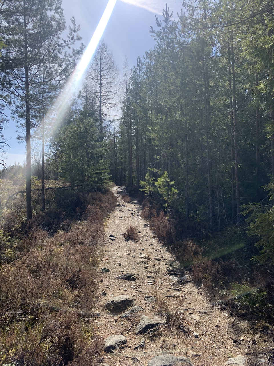
Ötjärnsrundan
- Municipality: Fagersta
- 6689.99 km away from you
- 4.5 km
- 1 h 7 min
- Difficulty: Red
**Purple Ötjärnsrundan includes both a forest road and a wide forest path with minor obstacles in the form of stones and roots. Some of the trail's terrain is more challenging, where a narrow forest path winds along the beautiful lake Ötjärn. Passage over w…

Kolarbyrundan
- Municipality: Fagersta
- 6688.06 km away from you
- 2.5 km
- 30 min
- Difficulty: Green
Urban loop in Fagersta municipality that goes around Kolarbysjön. The walk takes about 30 minutes and is 2.50 km long. It is an easy route with some obstacles in the form of roots, stones and the like. It can therefore be difficult to get around with a whee…
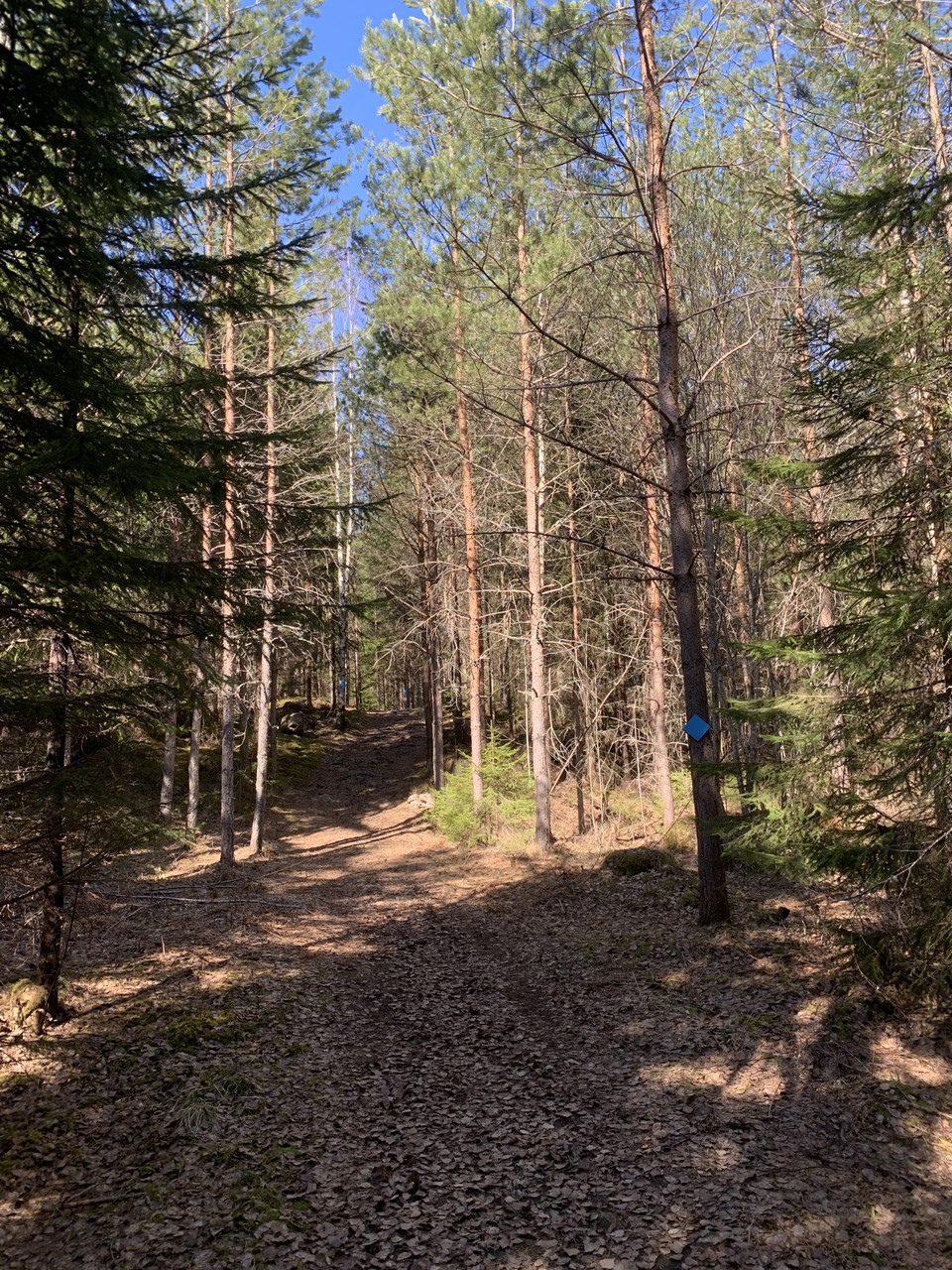
Orkidérundan
- Municipality: Fagersta
- 6690.11 km away from you
- 2.7 km
- 45 min
- Difficulty: Blue
The light blue round loop, Orkidérundan, is covered by a wide forest trail all the way around. About half of the round is easy with minor slopes and flat ground. The rest of the round is more challenging with a little more steep hill and rocky parts, hence…
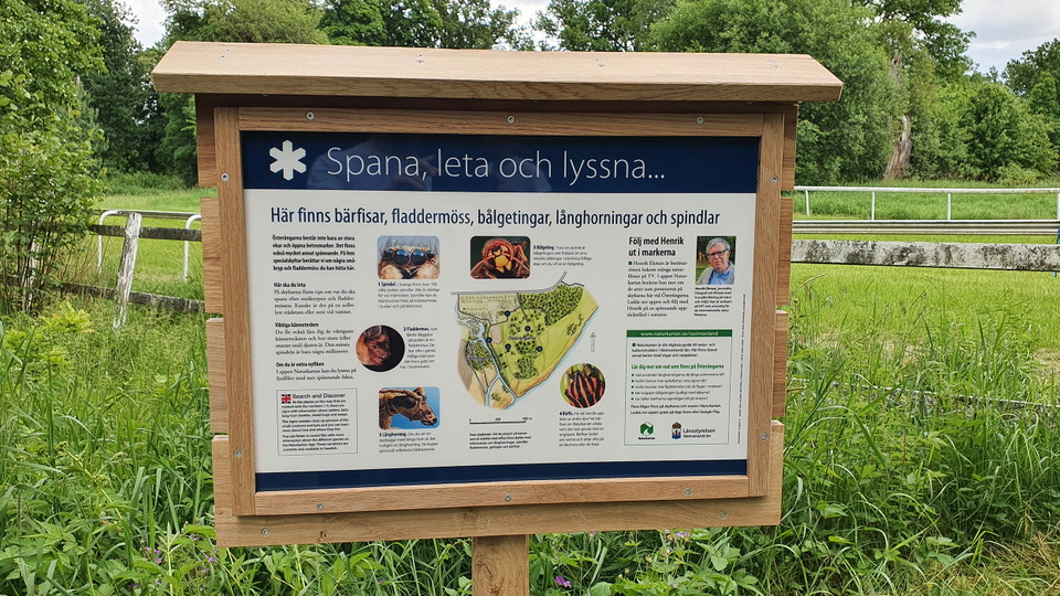
Vandring, Spana, leta och lyssna
- Municipality: Hallstahammar
- 6738.81 km away from you
- 1.5 km
Take a walk across the fields of Österängen and discover which species thrive there. There are signs in five different places with information about wasps, berry flies, longhorn beetles, spiders and bats. There are no markings for the walk on Österängen, bu…

Korprundan
- Municipality: Fagersta
- 6689.98 km away from you
- 3.5 km
- 43 min
- Difficulty: Red
The pink loop, Korprundan, includes a wide forest path with minor obstacles in the form of stones and roots, as well as slightly more challenging terrain where a narrow forest path winds along the beautiful lake Ötjärn. Passage over water (about 20 meters)…
Smedrundan
- Municipality: Fagersta
- 6688.50 km away from you
- 7.5 km
- 2 h
- Difficulty: Blue
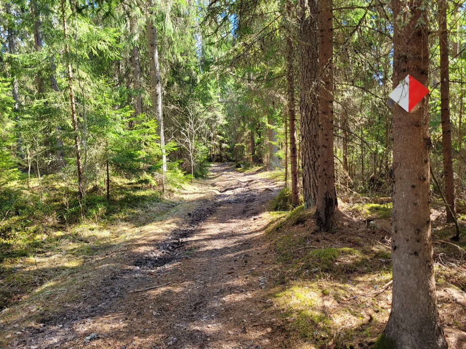
Welcome to hike along Smedrundan in Fagersta. Smedrundan is the lowest in the Kottmosseskogen forest area and contains the most variations in the terrain. About 60% of the route is a wide forest road or path. The remaining parts are smaller forest paths wit…
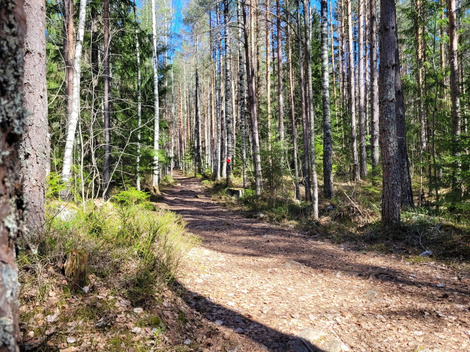
Kottmosserundan
- Municipality: Fagersta
- 3.5 km
- 45 min
- Difficulty: Blue
Welcome to hike along Kottmosserundan. Kottmosserundan runs in varied terrain, from slightly denser spruce forest to beautiful sparse pine forest. The surface varies between forest road, wide forest path to ordinary narrower forest path. For the most part,…
Rönningerundan
- Municipality: Fagersta
- 6688.45 km away from you
- 2.5 km
- 40 min
- Difficulty: Blue
Welcome to hike along Rönningerundan. Rönningerundan (green) is 80% on a large and wide forest road and the remaining 20 on smaller forest paths and partly on rocky outcrops. The green loop is considered to be of medium difficulty, especially as it has some…
Stig till badplats, Sundängen
- Municipality: Västerås
- 0.4 km
There is a path from the turnaround to the swimming area.

Korphyttan - promenad från vägbommen till kulturstigen
- Municipality: Skinnskatteberg
- 6689.09 km away from you
- 0.7 km
Follow the forest road to the Korphyttan visitor center when the gate is closed.
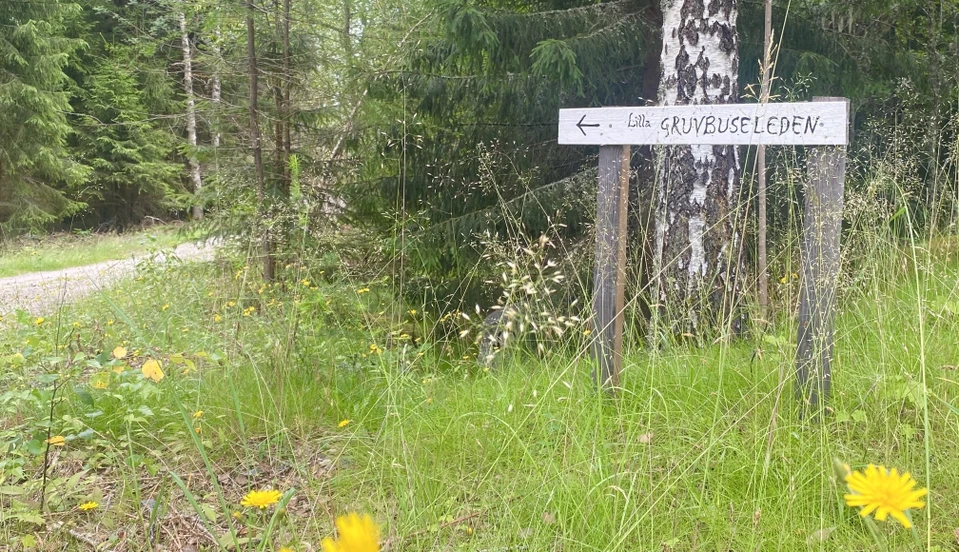
Gruvbuseleden
- 1.2 km
- Difficulty: Green
Mellan Skinnskatteberg och Riddarhyttan ligger den sagolika Gruvbuseleden. En lättframkomlig promenad på drygt 1 kilometer, anpassad för barn och familjer. Längs med leden finns det många gruvbusar att upptäcka, spännande berättelser om gruvfrun och området…
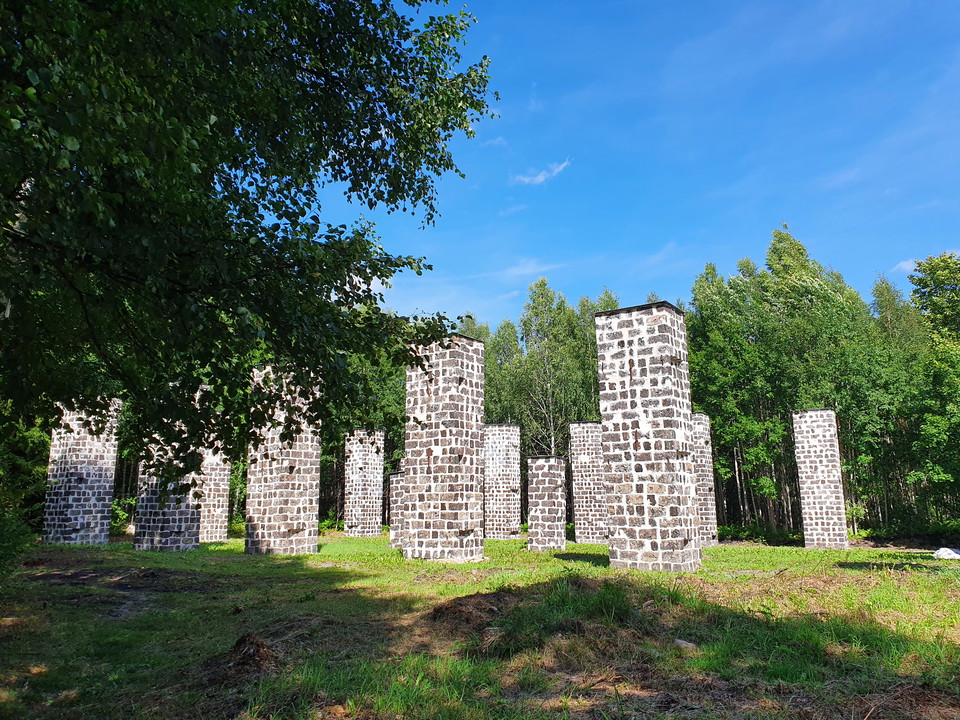
12 Trummelsberg – Norra Morsjön, via Landsberget |Bruksleden
- Municipality: Fagersta
- 6694.28 km away from you
- 12.5 km
- Difficulty: Blue
The hike starts in Trummelsberg and extends to Norra Morsjön. The distance is about 12.5 km and runs in hilly forest landscape. On the way to Norra Morsjön you pass Södra and Norra Landsberget. The route is hilly and sometimes rocky, but despite this it is…
