
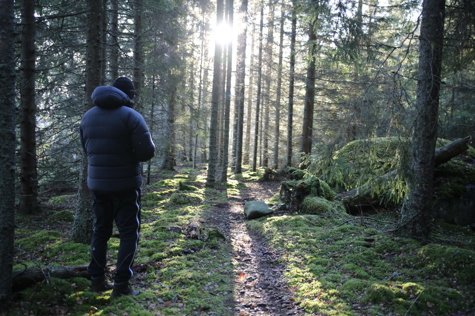
Tavasten - Skeppsviksskärgården
- Nature reserve
- County: Västerbottens län
Actions
Description
Activities And Facilities
- Nature reserve
Directions
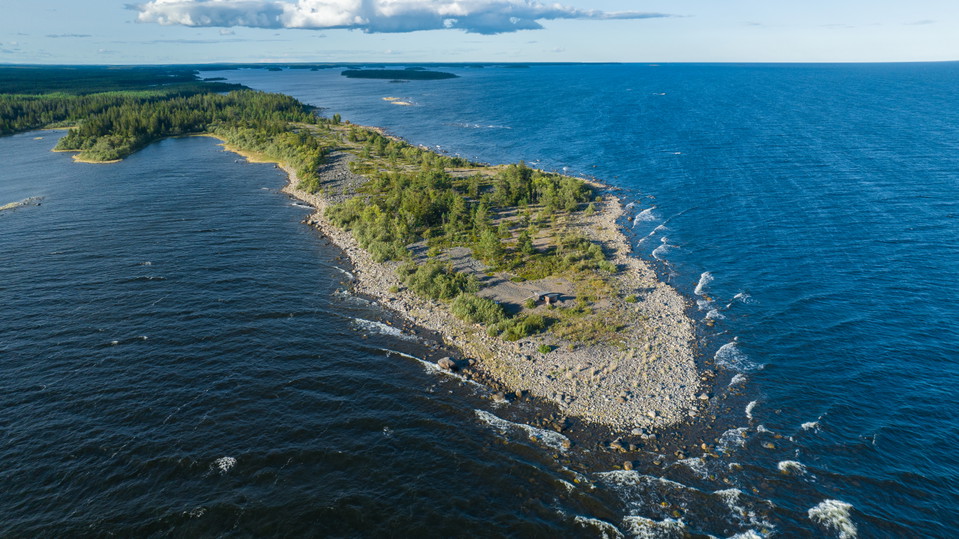
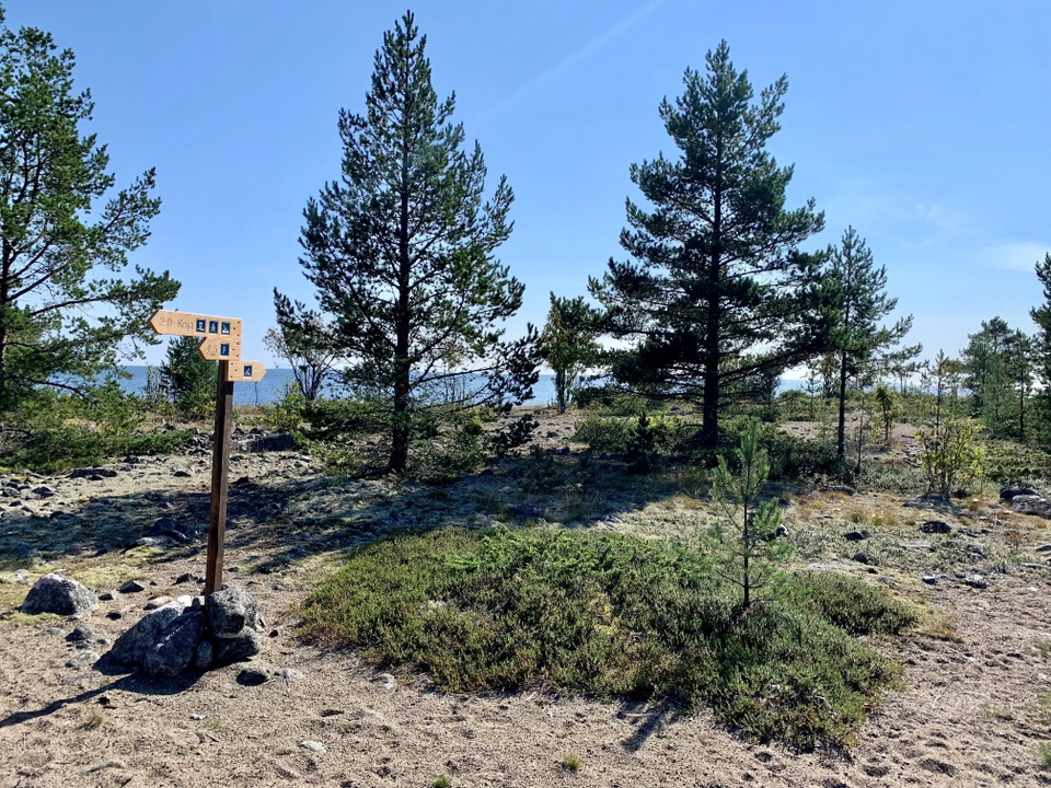
Good starting points to the area are the village Skeppsvik or Tavasten. To get to Tavasten, drive via Täfteå to Rovögervägen. After about 9 kilometers, turn left towards Laxögern. After barely 100 meters, turn right towards Bådelögern, here is a parking lot. From the parking lot, the hiking trail starts that takes you out on Tavastudden.
Contact
Email address
Länsstyrelsen Västerbotten
Organization logotype

Please be aware that some of these texts have been automatically translated.
I’ve been here 70
























I want to go here 33










Reviews
—
0 reviews
- 5 :
- 4 :
- 3 :
- 2 :
- 1 :
Questions & Answers
Ask a question to other Naturkartan users.
Users images
Share your photos of the place!
