
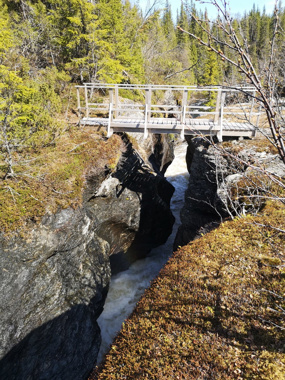
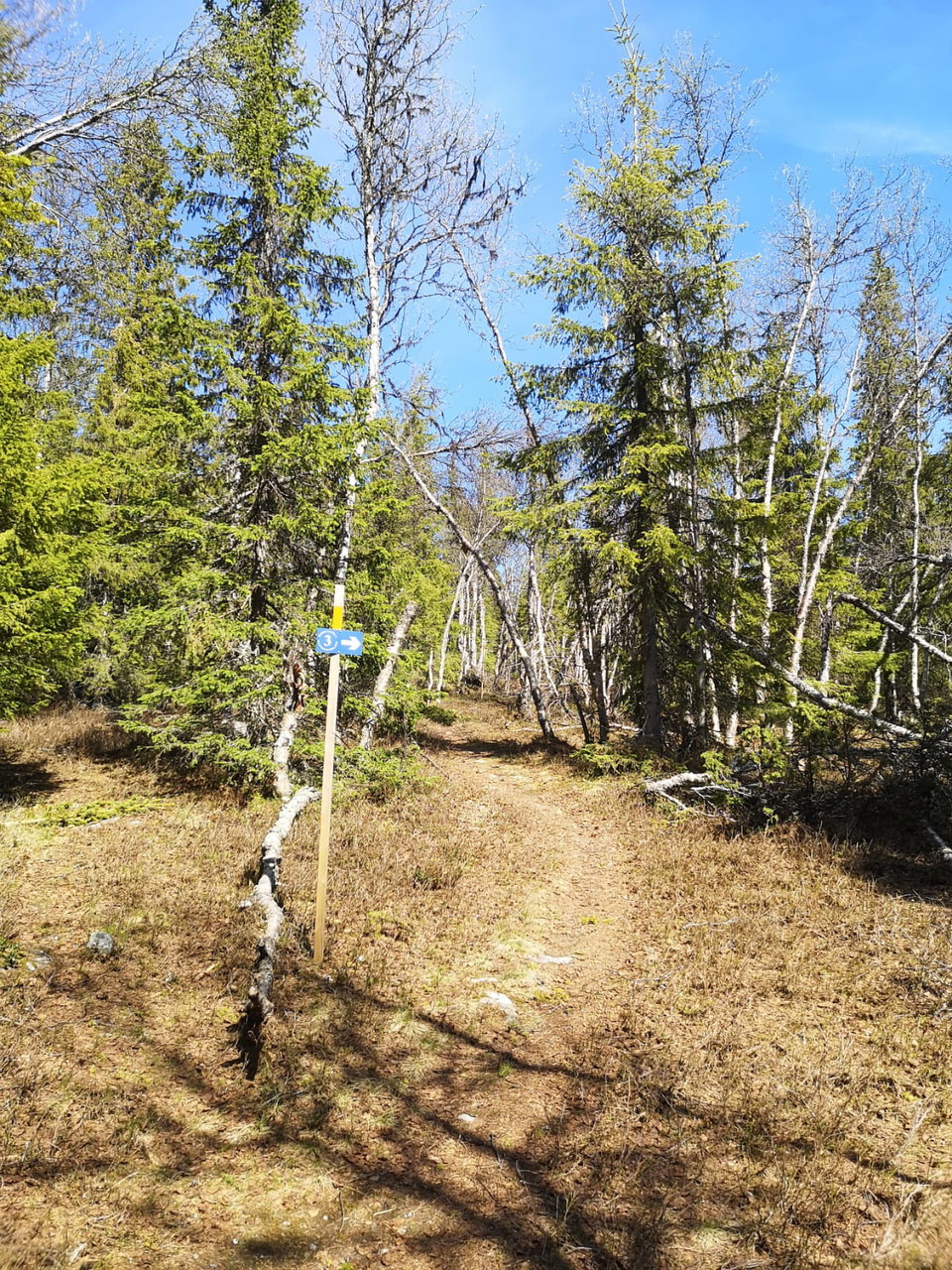
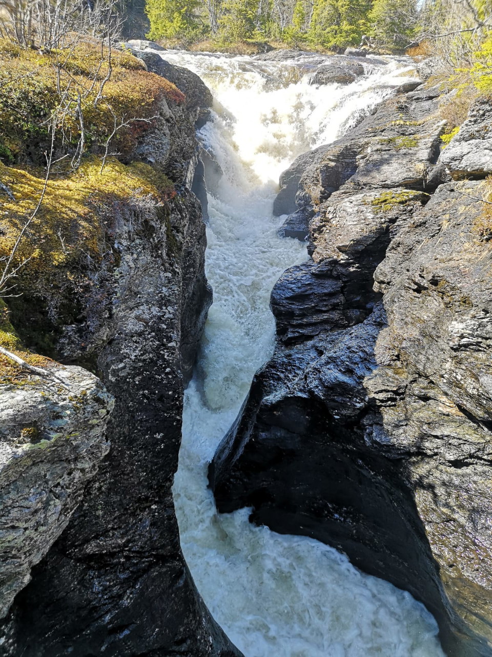
Stensjöbäcken
- Hiking
- Trail running
- Near parking
- County: Västerbottens län
- 6417.00 km away from you
Trail details
- Length 6.0 km
- Difficulty Blue — medium
Actions
Description
Activities And Facilities
- Hiking
- Trail running
Accessibility
- Near parking
Surface
Forest trail with shingle sections over bogs and wet areas.
Hills
Ca 100 m höjdskillnad. Leden börjar med en ganska brant stigning för att sedan plana ut.
Directions
Start/parking: Information board just over 1 kilometer east of Båtas Length: 3 kilometers one way from the parking lot to the canyon
Contact
Email address
Ulrika Stenberg
Please be aware that some of these texts have been automatically translated.
I’ve been here 4

I want to go here 4
Reviews
—
0 reviews
- 5 :
- 4 :
- 3 :
- 2 :
- 1 :
Questions & Answers
Ask a question to other Naturkartan users.
Users images
Share your photos of the place!
