
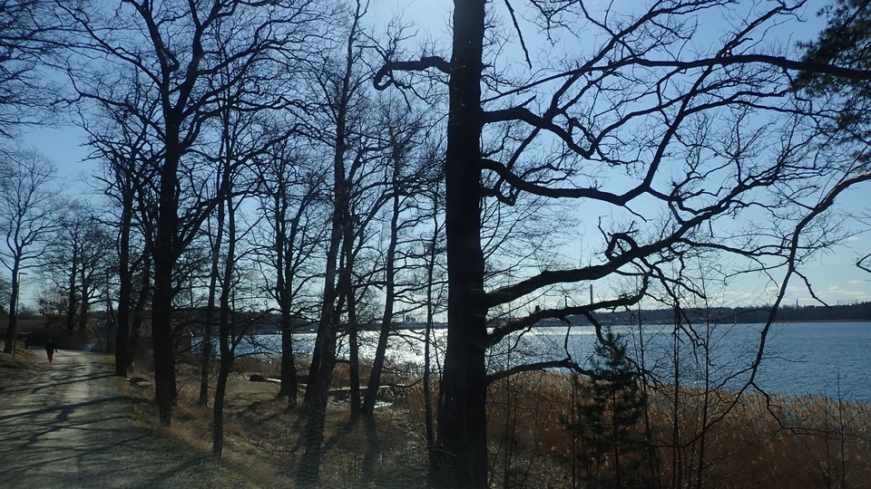
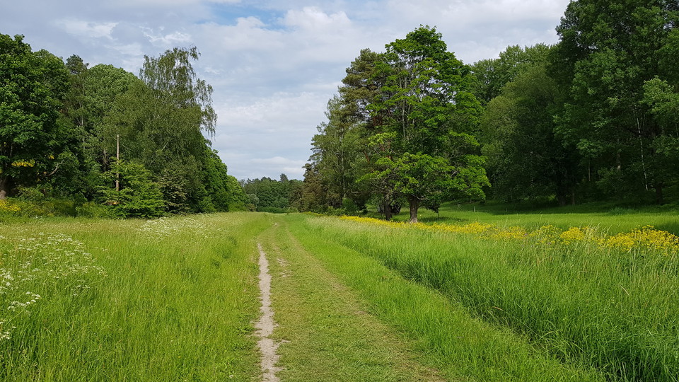
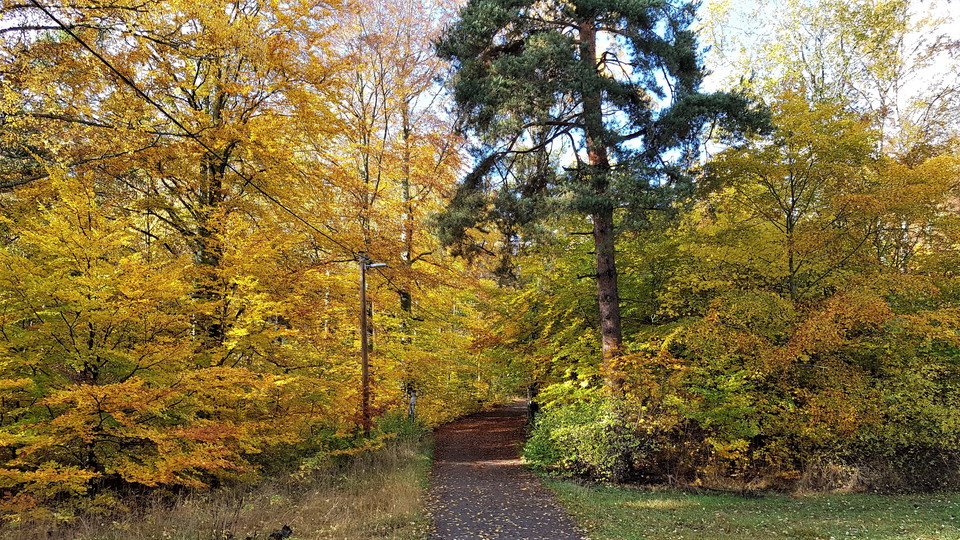
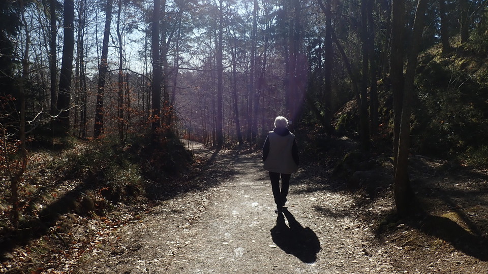
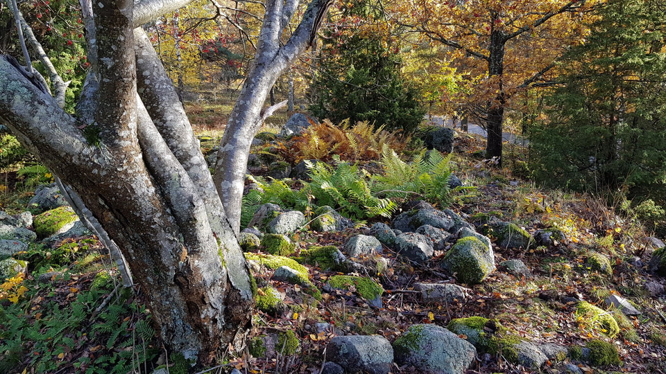
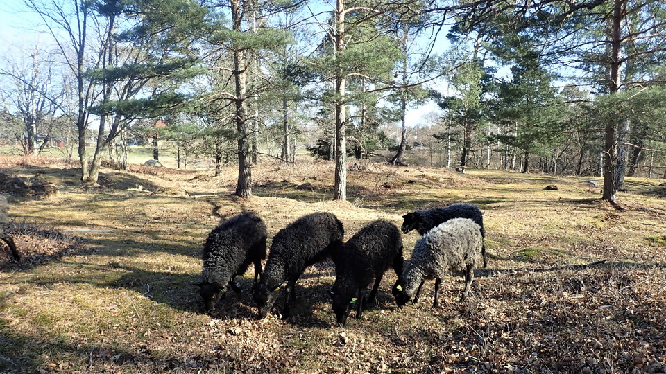
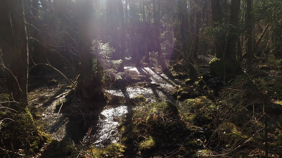
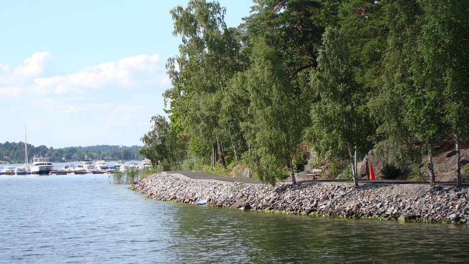
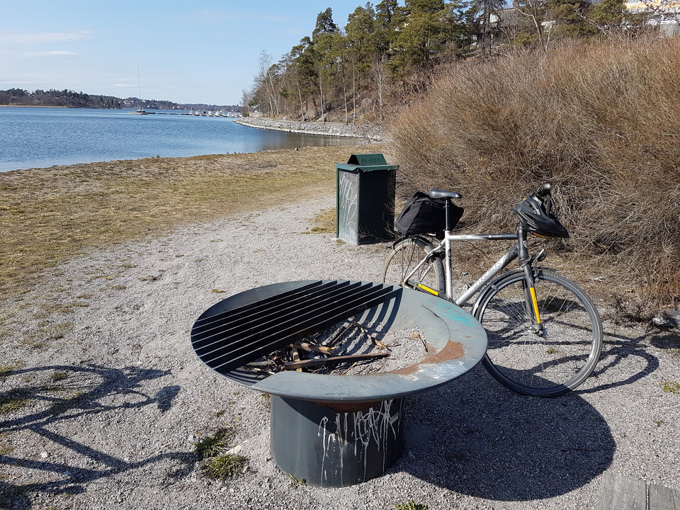
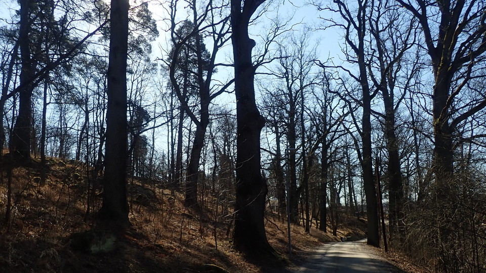
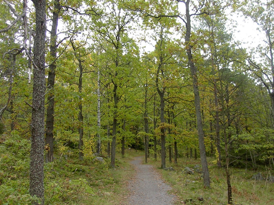
Runt Islingeviken, Tyktorpsvägen och Södra Sticklingeskogen.
- Hiking
- County: Stockholms län
- 6835.86 km away from you
Trail details
- Length 4.0 km
- Difficulty Blue — medium
Actions
Description
Activities And Facilities
- Hiking
Surface
Paved footpath and cycle path around Islingeviken, gravel road Tyktorpsvägen and soft forest track, lidingöloppsspåret.
Hills
From Tyktorpsvägen up to and down the track in the forest, otherwise flat along the water.
Parking
In Islingeviken or at Tyktorpsvägen.
Contact
Address
Kontakta oss för frågor om Lidingös natur.
Email address
Lidingö Stad
Organization logotype

Please be aware that some of these texts have been automatically translated.
I’ve been here 2

I want to go here 12


Reviews
—
1 review
- 5 :
- 4 :
- 3 :
- 2 :
- 1 :
Questions & Answers
Ask a question to other Naturkartan users.
Users images
Share your photos of the place!

Hur lång?