
-
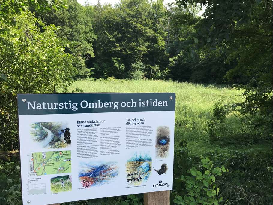
Bild: Sveaskog
Omberg och Istiden
- Hiking
- County: Östergötlands län
Trail details
- Length 2.0 km
Actions
Description
Do you know what a gully, a sandur field and a dead ice pit are? Signs at these unique remains tell you the history of the ice age and its significance for today's landscape on Omberg. A detour from the trail will also take you out to the Vätterbranten and the view at Oxbåset and to the former shoreline of the huge Baltic ice lake
Activities And Facilities
- Hiking
Contact
Address
Kontakta Sveaskogs kundcenter vid frågor.
Email address
Please be aware that some of these texts have been automatically translated.
I’ve been here 1

I want to go here
Questions & Answers
Ask a question to other Naturkartan users.
Reviews
0 reviews
- 5 :
- 4 :
- 3 :
- 2 :
- 1 :
Users images
No user images yet. Be the first to share!
