Brånsjön, vandringsled
- Municipality: Vännäs
- 6659.46 km away from you
- 3.2 km
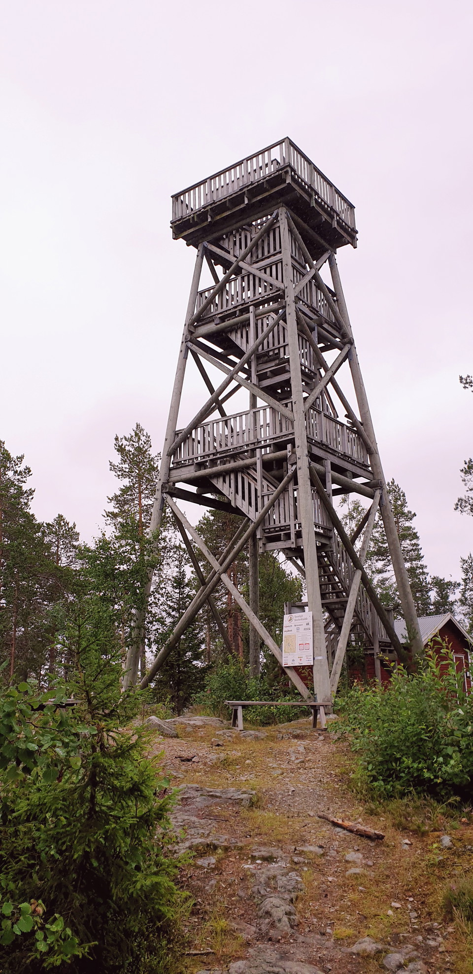
You can enter the nature reserve from three different starting points. At the lake's bird tower you can enjoy the beautiful and rich nature of Västerbotten.

Vännäs
Naturkartan samlar de vandringslederna i Vännäs som är populärast bland våra användare.
You can enter the nature reserve from three different starting points. At the lake's bird tower you can enjoy the beautiful and rich nature of Västerbotten.
Follow the path from the parking lot through the area up to the top and see the vast rocky areas. The path is steep in places.
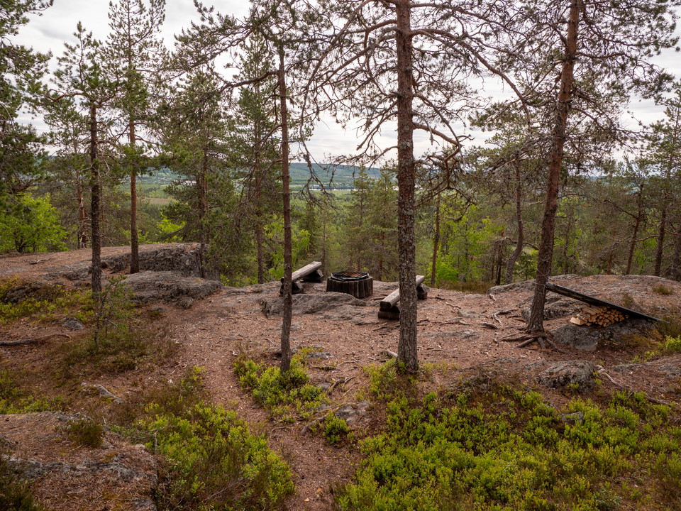
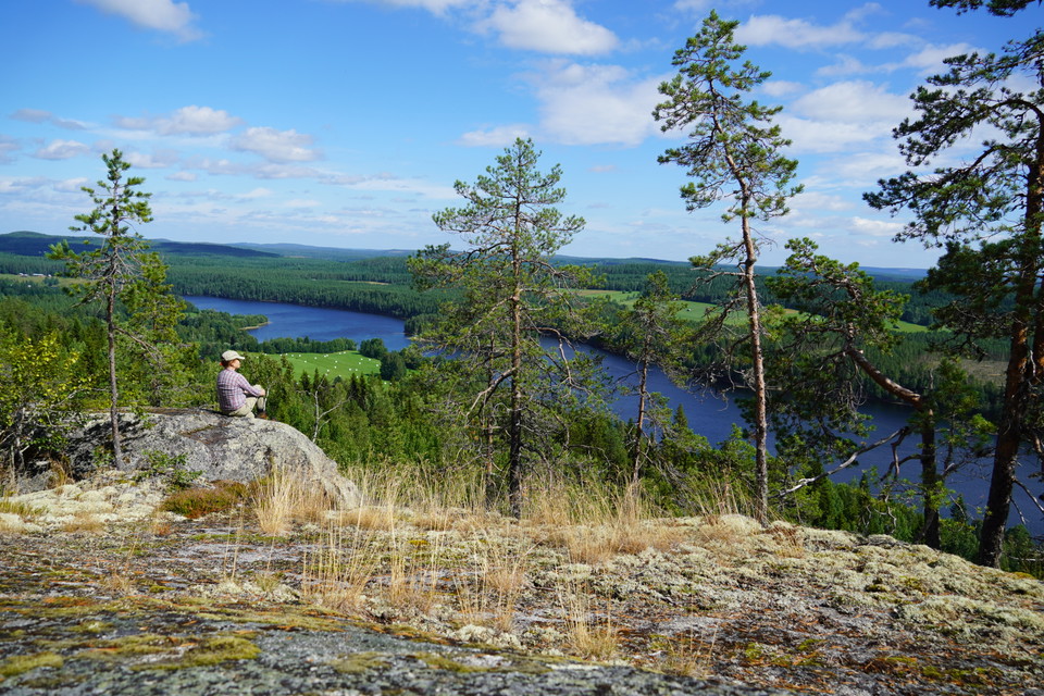
After a challenging hike of about 1.2 km, you will reach a fantastic lookout point. At the top of the mountain there is a cabin where you can make a fire in the fireplace and eat your packed lunch. Also take the opportunity to write a line in the guest book…
Välkommen upp till Selsberget – en av Vännäs kommuns bästa utsiktsplatser med en fantastisk vy över Umeälven! Bergets topp ligger 233 meter över havet och nås via den cirka 7,5 kilometer långa Selsbergsleden, som startar vid Högås bygdegård. Från ledens sta…
Naturkartan samlar de vandringslederna i Vännäs som är populärast bland våra användare.