
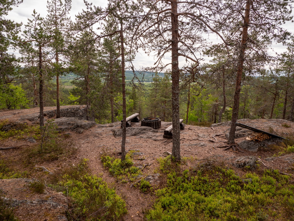


Starrberget vandringsled
- Hiking
- County: Västerbottens län
- 6652.86 km away from you
Trail details
- Length 3.0 km
Actions
Description
Activities And Facilities
- Hiking
Contact
Email address
Länsstyrelsen Västerbotten
Organization logotype
Please be aware that some of these texts have been automatically translated.
I’ve been here 26








I want to go here 29



Reviews
—
1 review
- 5 :
- 4 :
- 3 :
- 2 :
- 1 :
Questions & Answers
Ask a question to other Naturkartan users.
Users images
Share your photos of the place!

Det är 0.7 km tills stigen delar sig, där sitter en skylt som säger 0.6 km åt höger och 1.9km åt vänster till toppen, alltså är det något mer än 1km vandring. Riktigt fin skogspromenad åt båda hållen! Något knölig och bökig på vissa ställen.