Best hiking trails in Dorotea

Dorotea

Naturkartan samlar de vandringslederna i Dorotea som är populärast bland våra användare.

Images

Map

25 Best hiking trails in Dorotea

Hiking

Konstleden, Saxnäs - Ateljén - Gaalloe - Borgafjäll

  • Municipality: Dorotea
  • 6407.72 km away from you
  • 16.0 km

The hike between Borgafjäll and Saxnäs is challenging at times. It starts at the entrance in Borgafjäll and ends at the parking lot below Satsfjället. At first, the trail is easy to walk through the mountain birch forest to Matt-Jon's Sami village and then…

Hiking

Lillfjällsleden

  • Municipality: Dorotea
  • 6404.25 km away from you
  • 14.3 km
  • Difficulty: Blue

Ta med familjen och vandra upp till toppen av Lillfjället i Borgafjäll. Under vandringen kan du njuta av hänförande utsikt över Borgafjälls fantastiska fjällvärld…

Hiking

Klöverfjällsleden

  • Municipality: Dorotea
  • 6405.49 km away from you
  • 12.8 km
  • Difficulty: Blue

The hike to Klöverfjället takes you first through beautiful mountain forest and then offers breathtaking views of the Borgafjäll area. Make the hike a loop by hiking along the winter trail in one direction and the cobbled summer trail in the other.

Hiking

Bäcka

  • Municipality: Dorotea
  • 6462.88 km away from you
  • 1.1 km
  • Difficulty: Green

Gör ett besök vid Bäcka, som är det område där Stutvattenbäcken och Västvattenbäcken rinner ut i Långseleån. Vandringen går huvudsakligen genom gles tallskog. I sänkorna längs Västvattenbäcken är vegetationen mer frodig och här växer lövträd och blommande v…

Hiking

Stensjöbäcken

  • Municipality: Dorotea
  • 6417.00 km away from you
  • 6.0 km
  • Difficulty: Blue

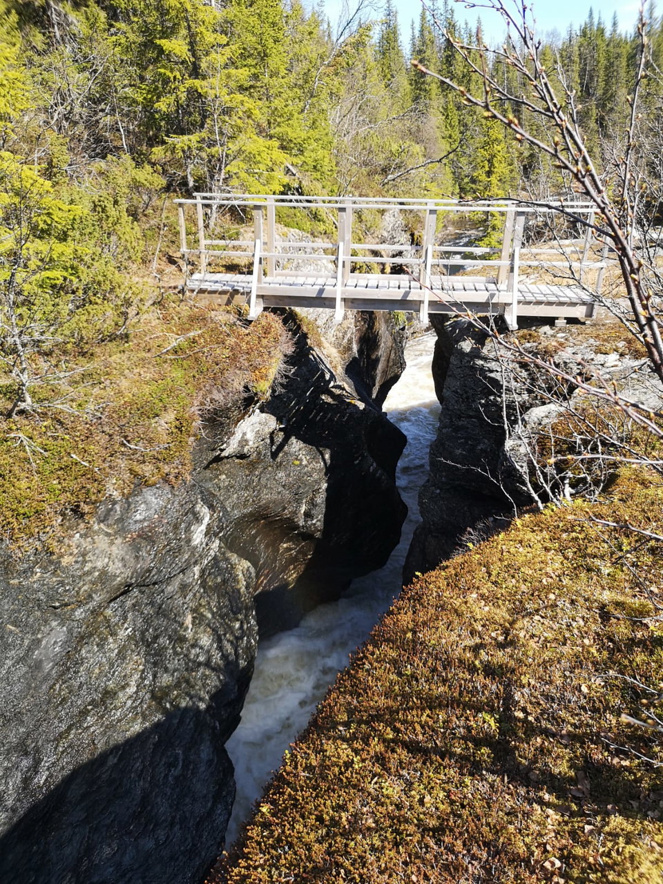
Stensjöbäcksleden bjuder på fin vandring i lågland med utsikt över fjällen. Målet för vandringen är den nästan 10 meter djupa kanjonen och vattenfallet där Stensjöbäcken och Vallienbäcken rinner samman. Stigen som leder upp till kanjonen har ny märkning och…

Hiking

Kalvtjärnarna, vandringsled

  • Municipality: Dorotea
  • 6423.84 km away from you
  • 2.1 km

The trail runs from the parking lot to Kalvtjärnen and is just under 2 kilometers long. Where the trail ends, there is a picnic shelter by the pond.

Hiking

Storviksleden

  • Municipality: Dorotea
  • 6400.01 km away from you
  • 8.3 km

Nice hike

Hiking

Sutme - Storfallet - Sodtme (Sutme) samevsite

  • Municipality: Dorotea
  • 6394.45 km away from you
  • 1.2 km

Leden börjar vid parkeringen i Sutme. Det är en ganska brant stigning längs Slipsikån till vistet. Inledningsvis passerar du en granskog med för området ovanligt grova och storväxta granar. Strax innan leden når fram till naturreservatsgränsen kan en kort…

Hiking

Vandring till Toppstugan i Lajksjö

  • Municipality: Dorotea
  • 6500.17 km away from you
  • 5.0 km
  • Difficulty: Green

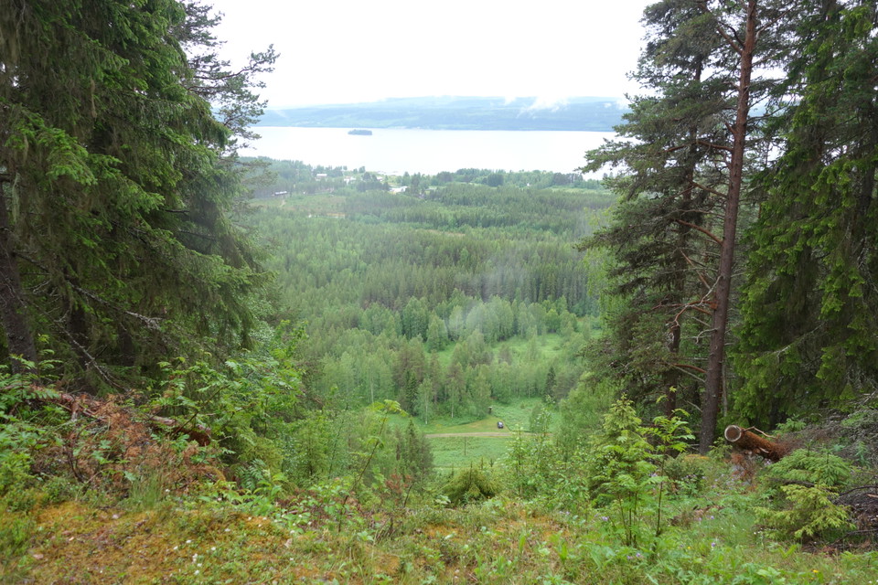
Hike to Toppstugan on Hemberget in Lajksjö. From Lajksjö föreningshus there is a hiking trail up Hemberget and to the cozy, newly built top cabin. In clear weather you are offered a fantastic view of Lake Lajksjön and on the horizon you can see the mountain…

Hiking

Sutme Sameviste vandringsled

  • Municipality: Dorotea
  • 6394.44 km away from you
  • 1.2 km
  • Difficulty: Blue

Vandra till Sutme Sameviste som har varit boplats för samer i minst tvåhundra år. Stigen går genom fin björkskog och du kan även beundra det vackra vattenfallet Storfallet.

Hiking

Sodtme sameviste-Slipsiken

  • Municipality: Dorotea
  • 6384.94 km away from you
  • 11.7 km

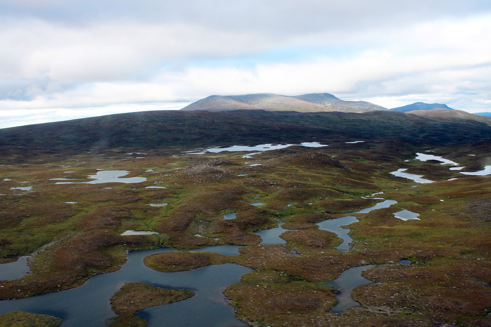
After about four kilometers of hiking from the Sami settlement, you will reach the rolling, flowering grasslands of the bare mountains, which gradually become more and more rocky. Before reaching Slipsikstugan by Lake Sliptjehke, the trail passes the mighty…

Hiking

Vandringsled Rödingsjö

  • Municipality: Dorotea
  • 7.2 km

Vandringsleden är drygt 7 kilometer lång och går genom äldre granskog och myrmark fram till Grubbsjöstugan. Det är relativt lättvandrat fram till Korpån. Därefter är terrängen bitvis blockig och kuperad.

Hiking

Kullerbacksrundan

  • Municipality: Dorotea
  • 6492.68 km away from you
  • 6.5 km
  • Difficulty: Blue

Kullerbacksrundan offers both interesting culture and beautiful nature right next to the community. Start the tour by following Sjöslingan around Bergvattensjön. At the far end of the lake, you turn off towards the slalom slope, which is located in the midd…

Best hiking trails in Dorotea

Naturkartan samlar de vandringslederna i Dorotea som är populärast bland våra användare.

Naturkartan

Open this in the app