
-
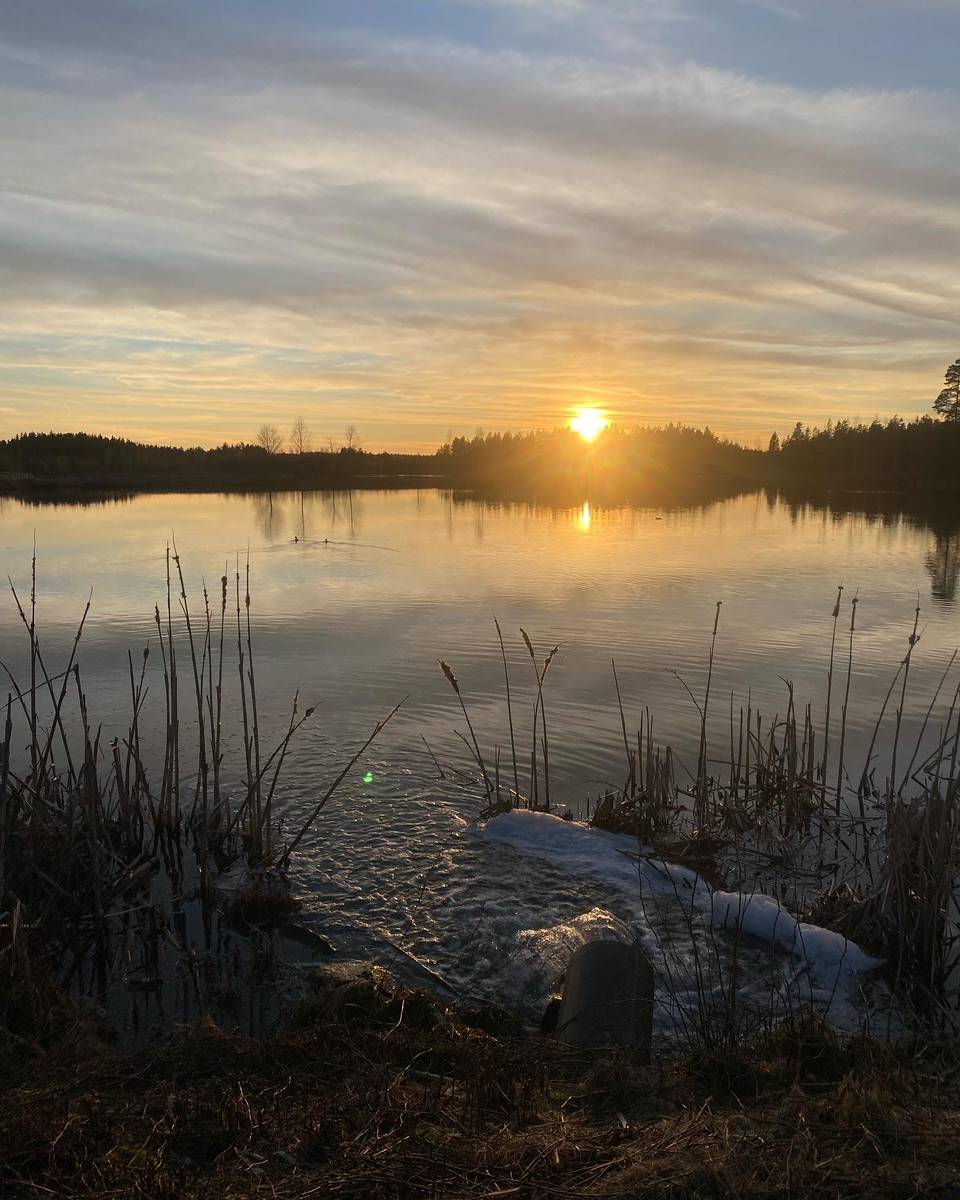
Vy över Rastadammarna
Photo: Gislaveds kommun
Gislaveds våtmark - vandra kring Rastadammarna
- Hiking
- County: Jönköpings län
- 6720.88 km away from you
Trail details
- Length 2.2 km
- Difficulty Green - simple
Actions
Description
On the outskirts of Gislaved there is a constructed wetland adjacent to the treatment plant. The wetland is home to a rich bird life that attracts many birdwatchers. The area has become a very popular hiking area as there is an exercise trail of almost 3 kilometers straight through the wetland. Along the walking trail there are two barbecue areas.
The wetland is currently 18 hectares and holds almost 200,000 cubic meters of water. The water depth ranges from 0.6 meters to 2.5 meters.
Activities And Facilities
- Hiking
Contact
Address
Email address
Emma Sjöberg
Please be aware that some of these texts have been automatically translated.
I’ve been here 1

I want to go here 2
Questions & Answers
Ask a question to other Naturkartan users.
Reviews
1 review
- 5 :
- 4 :
- 3 :
- 2 :
- 1 :
Users images
No user images yet. Be the first to share!
