
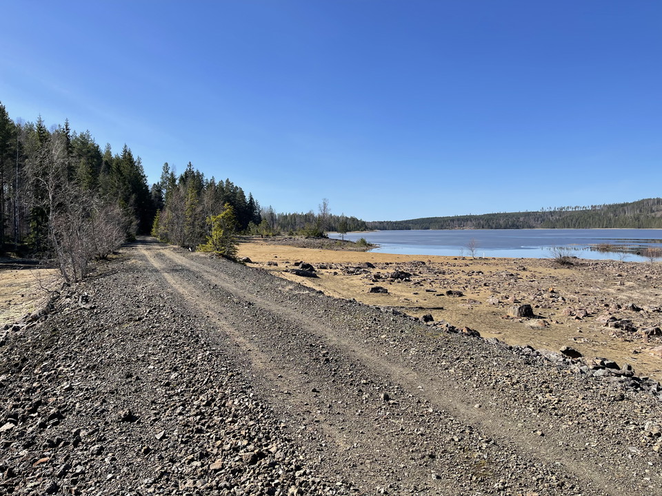


Banvallen i Garpenberg
- Hiking
- Walking
- Mountainbiking
- Riding
- Archaeological
- County: Dalarnas län
- 6692.04 km away from you
Trail details
- Length 4.8 km
- Difficulty Green — simple
Actions
Currently
The trail has been inventoried after the winter storms and is in good condition.
Description
Activities And Facilities
- Walking
- Mountainbiking
- Hiking
- Riding
- Archaeological
Facts
The trail is managed by the Garpenberg Local History Society.
Surface
The trail runs on an old embankment consisting of gravel and slag. In a few places rough.
Hills
Not hilly.
Parking
Parking is available in Garpenberg at Gammelgården and the church. There is also space to park at the station house. (Do not block the road to the treatment plant). In Herrgården it is possible to park along Herrgårdsvägen, in a parking space right next to the old stone bridge and the sign towards Banvallen.
Contact
Address
Telefon: 0225-340 00
Email address
kommun@hedemora.se
Please be aware that some of these texts have been automatically translated.
I’ve been here 1

I want to go here 1
Reviews
—
0 reviews
- 5 :
- 4 :
- 3 :
- 2 :
- 1 :
Questions & Answers
Ask a question to other Naturkartan users.
Users images
Share your photos of the place!
