Best hiking trails in Västernorrlands län

Västernorrlands län

Naturkartan samlar de vandringslederna i Västernorrlands län som är populärast bland våra användare.

Images

Map

376 Best hiking trails in Västernorrlands län

Hiking

Hornöberget - Lövvik, High Coast Trail section 1

  • Municipality: Kramfors
  • 6636.51 km away from you
  • 11.0 km
  • Difficulty: Red

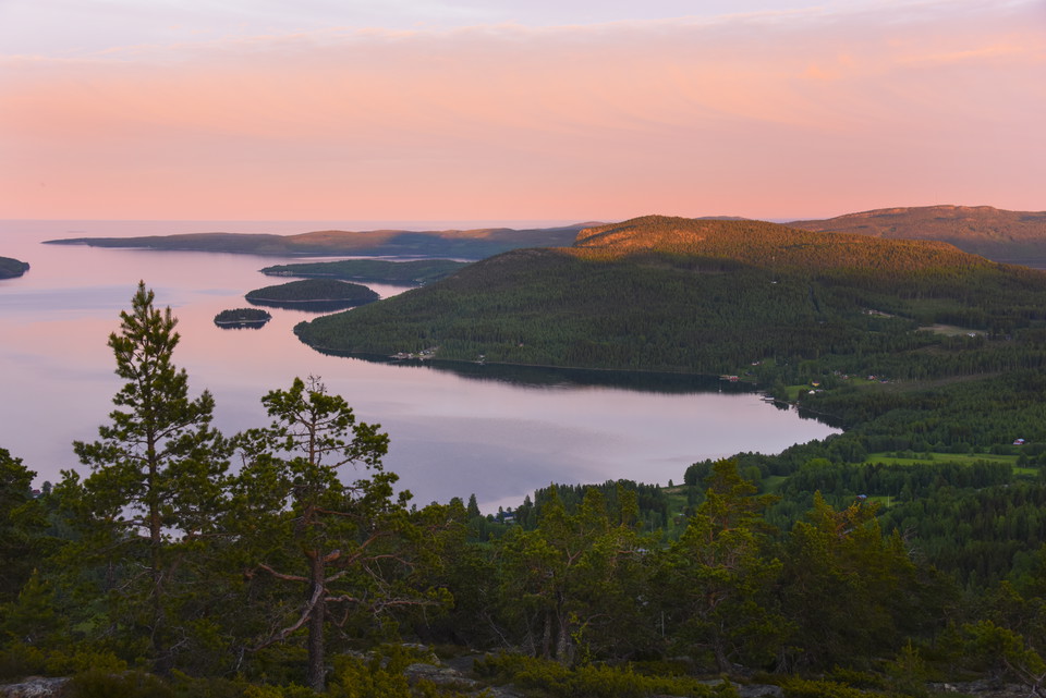
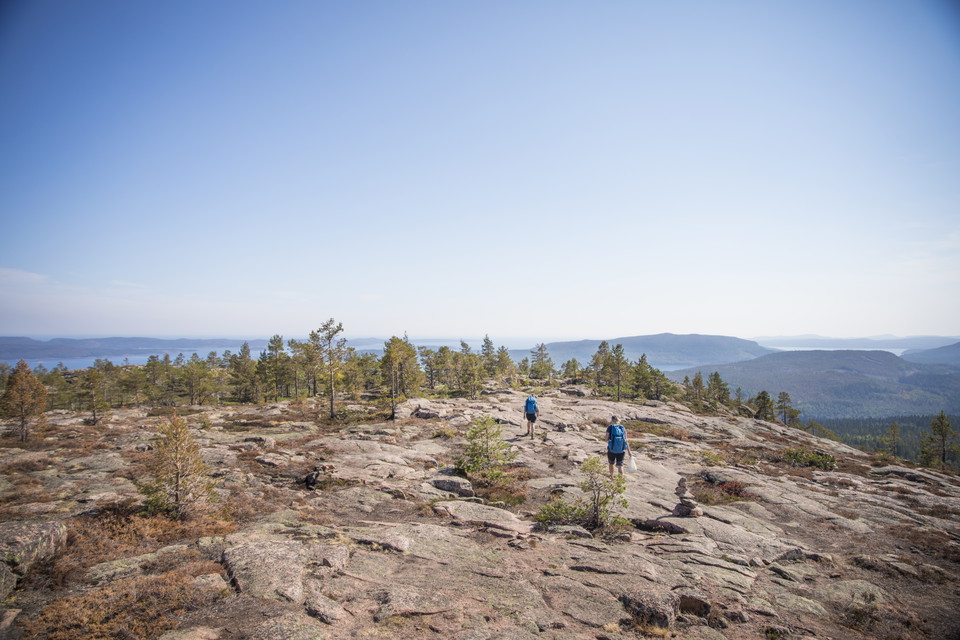
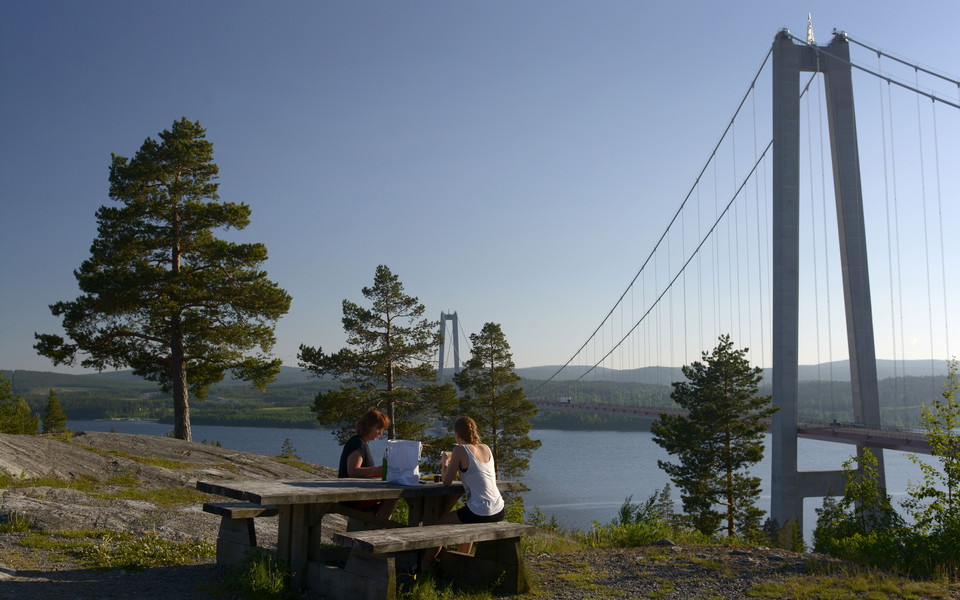
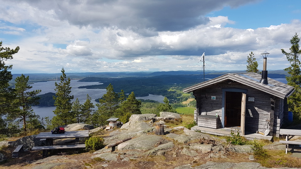
Enjoy the gateway to the High Coast with its astounding views over the mouth of the Ångermanälven river. The High Coast Trail starts at Hornöberget on the northern side of the bridge Högakustenbron. Take the time to admire the amazing view over the river’s…
Hiking

Etapp 2, Lövvik - Gavik, Höga Kusten-leden

  • Municipality: Kramfors
  • 23.7 km
  • Difficulty: Red

Cirka två kilometer från etappstarten finns en avstickare 800 meter från leden till Valkallens topp, som är väl värd mödan. Från toppen har du nämligen en av Höga Kusten-ledens mest storslagna utsikter! Vid de brantaste partierna närmast toppen finns rep so…

Hiking

Etapp 5 Ullånger - Skuleberget, Höga Kusten-leden

  • Municipality: Kramfors
  • 6636.09 km away from you
  • 20.8 km
  • Difficulty: Red

About two kilometers into the stage from Ullångers center is Gårdberget, or as it is called in the vernacular: "Äskjaberget". Here is a top cabin that is managed by Ullångers hembygdsförening. The mighty silhouette is visible from the community. The cabin i…

Hiking

Etapp 3, Gavik - Lappudden, Höga Kusten-leden

  • Municipality: Kramfors
  • 9.4 km
  • Difficulty: Green

Etappen Gavik i Nora till Lappudden i Nordingrå går till stora delar på grusväg. Avstickare till Rödklitten och Älgaberget rekommenderas. I början av etappen, efter Svartviken, i riktning mot Brattnäset går en avstickare till Älgaberget. Några hundra meter…

Hiking

Etapp 4, Lappudden - Ullånger, Höga Kusten-leden

  • Municipality: Kramfors
  • 6636.31 km away from you
  • 14.6 km
  • Difficulty: Blue

Nordingrå is sometimes called "the heart of the High Coast". With its 52 villages, varied landscape and proximity to the sea, the district shows off the High Coast in a concentrated form. There is a wide range of services here. A short detour from the trail…

Hiking

Etapp 7, Entré Syd - Entré Nord Skuleskogens nationalpark, Höga Kusten-Leden

  • Municipality: Örnsköldsvik
  • 6643.96 km away from you
  • 7.5 km
  • Difficulty: Red

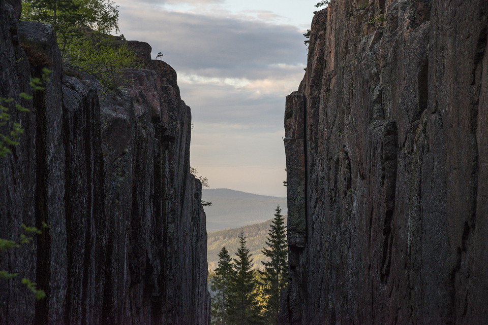
This scenic stage takes you right through the heart of Skuleskogen National Park. You'll hike through old-growth forest, pass dramatic heights and have the opportunity to make detours to viewpoints located west of the famous Slåttdalsskrevan - a place that…

Hiking

Etapp 6, Skuleberget - Entré Syd Skuleskogens nationalpark, Höga Kusten-leden

  • Municipality: Kramfors
  • 6640.28 km away from you
  • 10.86 km
  • Difficulty: Red

From Skuleberget the trail goes down towards Veåsand and further up Getsvedjeberget, where you will find our own "Pulpit" - a beautiful viewpoint with views of the High Coast. The hike continues through varied terrain until you reach Entrance South, the sou…

Hiking

Hiking trail over Slåttdalsberget

  • Municipality: Örnsköldsvik
  • 6644.70 km away from you
  • 1.5 km
  • Difficulty: Black

This trail is a detour from the High Coast Trail. It goes up and over the mountain Slåttdalsberget and gives you a splendid view. If you're hiking from the south entrance to Slåttdalsskrevan and back, you can take this trail on your way back to see some mor…

Hiking

Avstickare till Fäberget

  • Municipality: Kramfors
  • 6640.34 km away from you
  • 2.3 km

At the stage finish in Skoved there is a detour to the top of Fäberget. The approximately 1.5 kilometers up to the top is recommended. The reward for the effort is a magnificent view from 200 meters above Ullångersfjärden. Shelter with fireplace. Can be use…

Hiking

Etapp 9, Balesuddens naturreservat - Örnsköldsvik, Höga Kusten-Leden

  • Municipality: Örnsköldsvik
  • 18.8 km
  • Difficulty: Blue

The stage starts in the Balesudden reserve and continues along the gravel road via Bäckfjärden through the village of Bäck to Utby. Then a hilly stretch over the Vitsjö massif awaits before you reach Svedjeholmen. You pass through the community and further…

Hiking

Nipleden

  • Municipality: Sollefteå
  • 6579.55 km away from you
  • 27.0 km
  • Difficulty: Blue

The Nipleden trail starts at Sollefteå Camping on Risön in central Sollefteå and leads upstream along the beautiful flow of the Ångerman River up to Edsbron where you cross the river and follow it downstream back to the starting point. It is the impressive…

Best hiking trails in Västernorrlands län

Naturkartan samlar de vandringslederna i Västernorrlands län som är populärast bland våra användare.

Naturkartan

Open this in the app