
Jönköpings län
Rest area
Map
256 Rest area

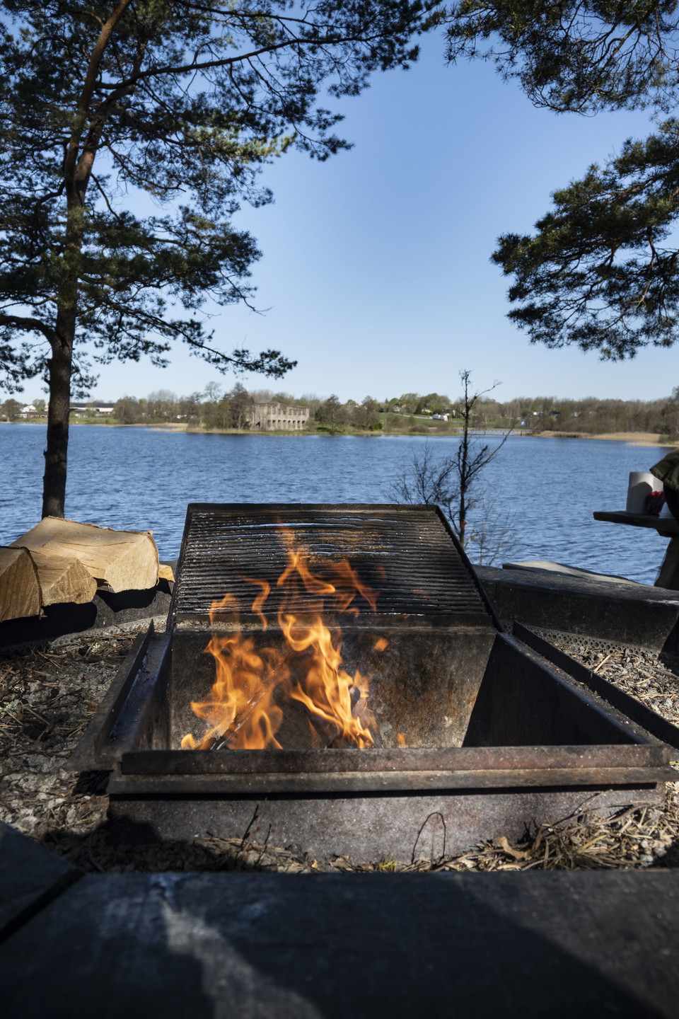
Barbecue area
- Municipality: Sävsjö
- 6776.31 km away from you
Rest area with barbecue and long table overlooking Eksjöhovgård castle ruins.
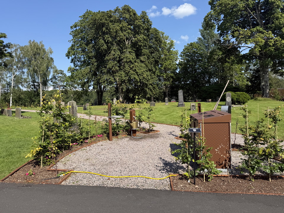
Sandvik, Entrance G3/G4
- Municipality: Gislaved
- 6707.55 km away from you
Sandvik trail entrance where G2 and G3 meet, here you can fill up with water at the church via a small detour. A little further south there is a shelter.
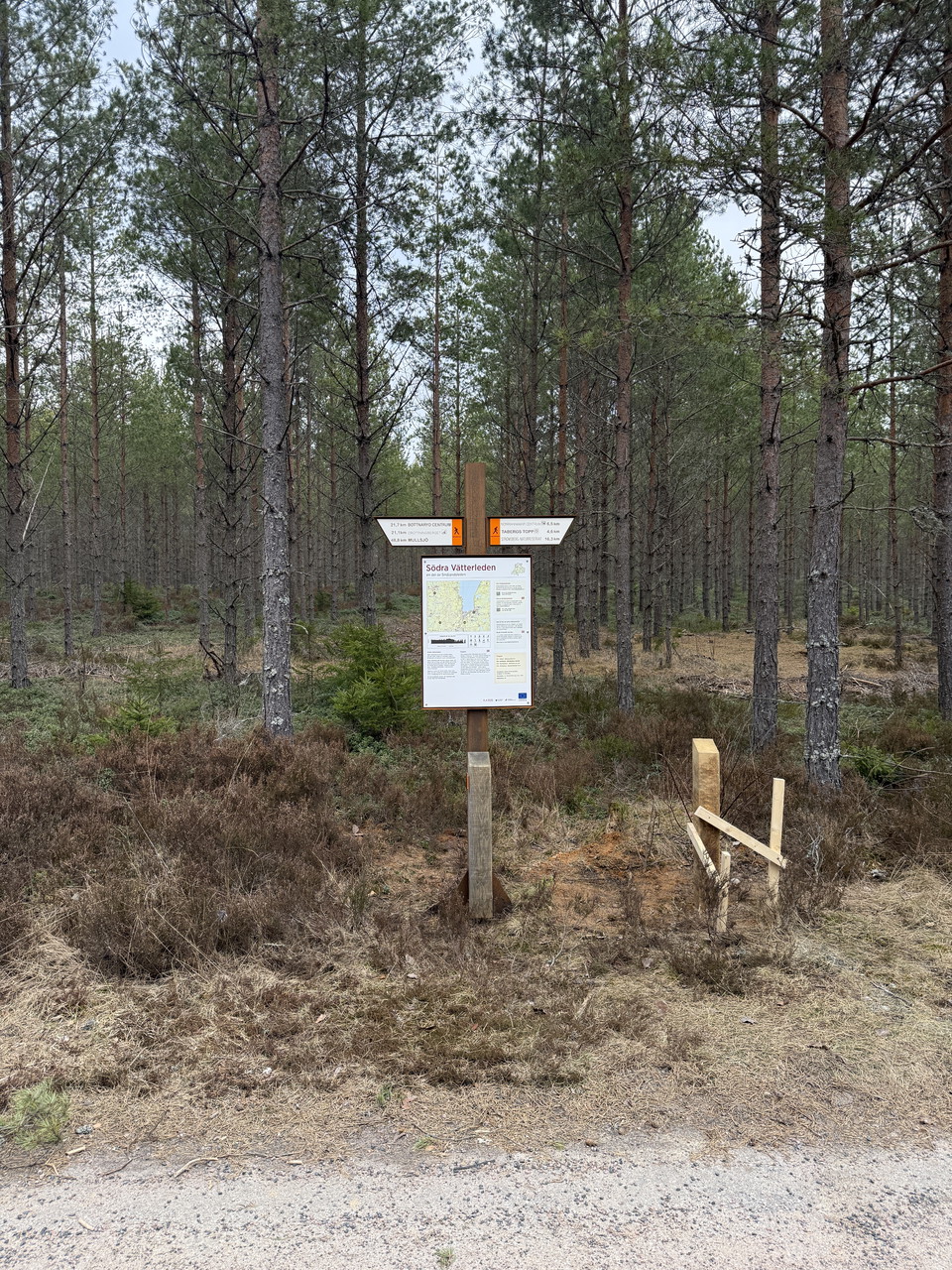
Bastan, Entrance SV2
- Municipality: Jönköpings kommun
- 6726.33 km away from you
At the scout hut Bastan you can step on Södra Vätterleden stage SV2. There is also a shelter, fireplace and dry toilet.
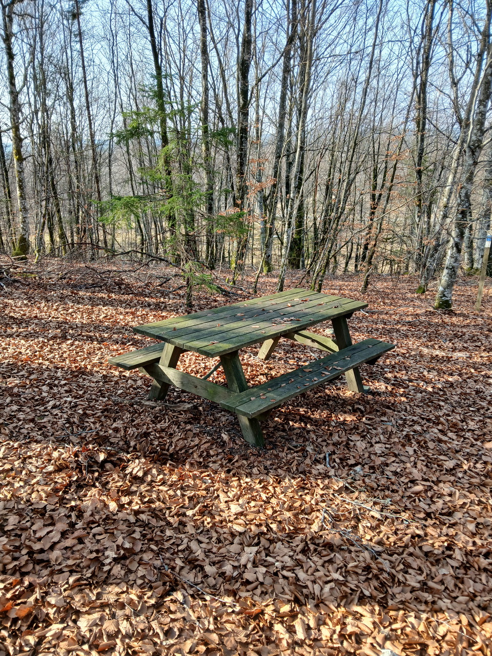
The Mattarp beech forest
- Municipality: Nässjö
- 6766.95 km away from you
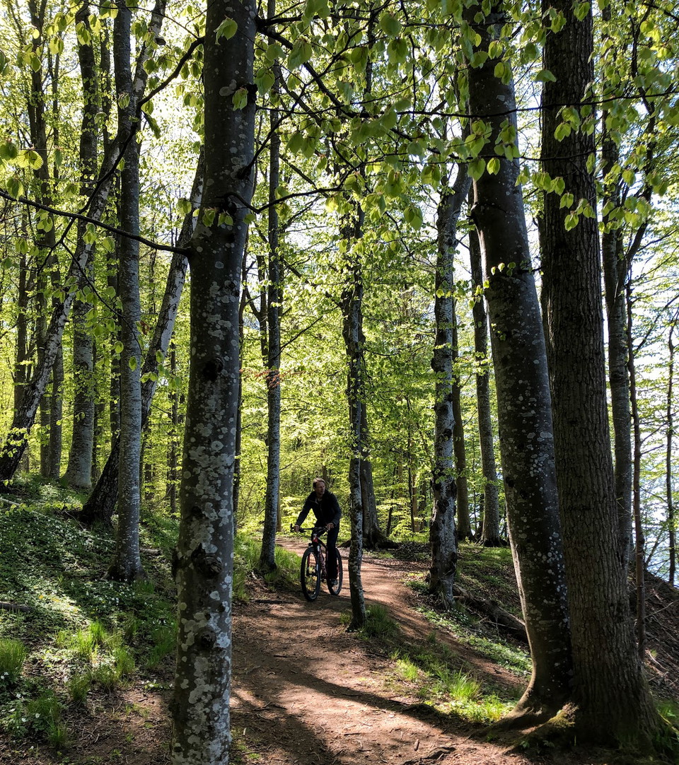
The Mattarp beech forest is one of the northernmost beech stands in Europe and is located between the villages of Broddarp and Mattarp on the highest parts of the Småland Highlands. There are picnic tables here.
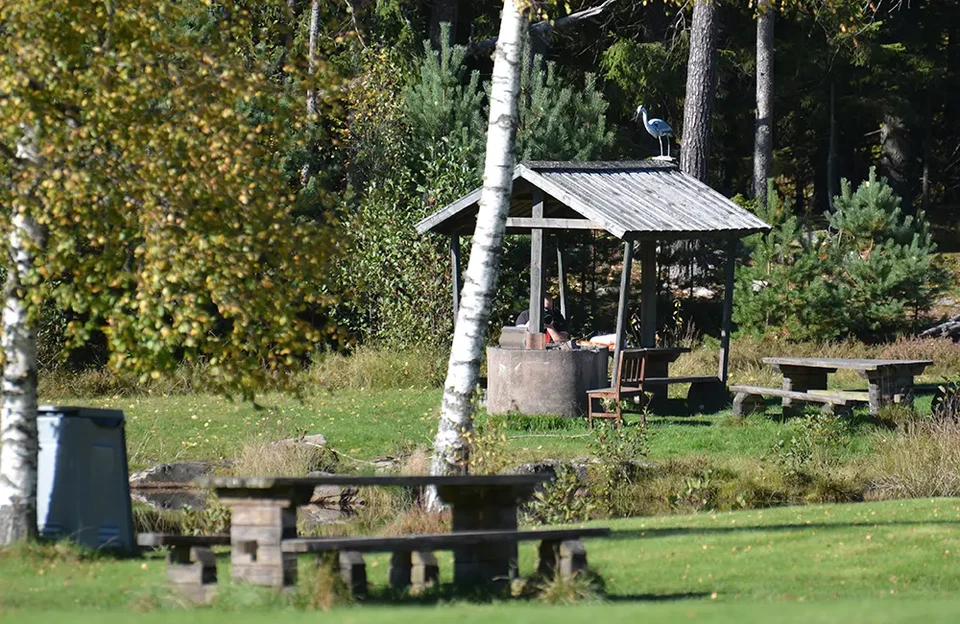
Lövhult Dammengrillen
- Municipality: Nässjö
- 6765.14 km away from you
Liten, trevlig grillplats bredvid Lövhultsdammen. Här finns även en liten sittgrupp under tak. Under vintertid när det är snö går det endast att ta sig till Dammgrillen med skidor. Därför är det ingen tillsyn av grillplatsen på vintern. Alla besökare får ta…
Rastplats
- Municipality: Jönköpings kommun
- 6731.80 km away from you
There is also a fire pit at this rest area.
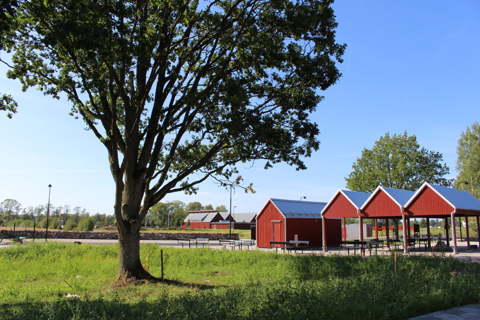
Rest area
- Municipality: Värnamo
- 6756.04 km away from you
The rest area is a relatively large and easily accessible facility directly on the E4, with separate parking areas for both cars and trucks. No parking over night! It is equipped with several basic facilities for a comfortable break:
