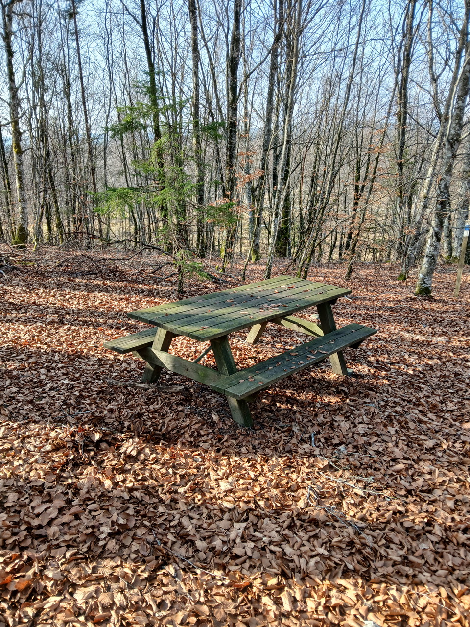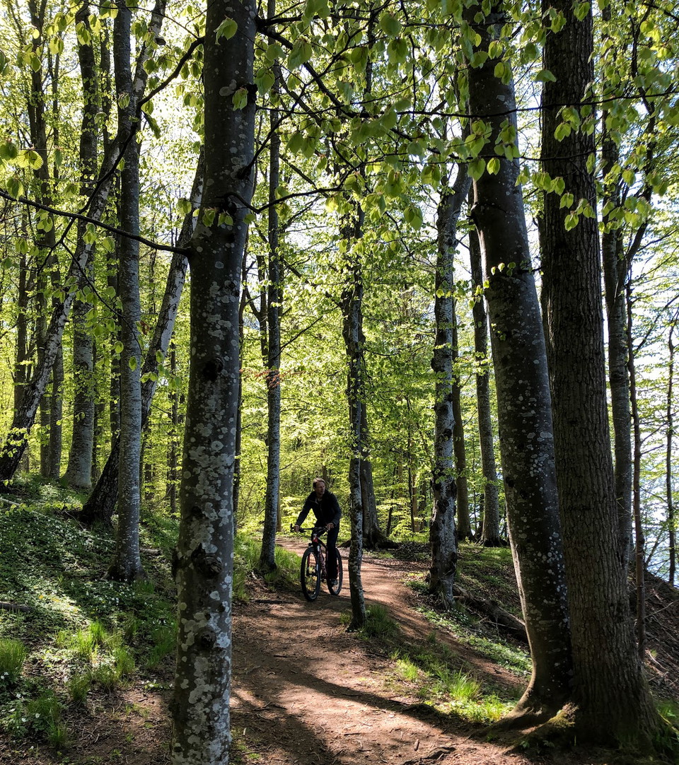
Rest area

Jönköpings län

Images

Map

257 Rest area

Rest area

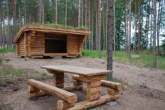
Grillplats/vindskydd Römanöleden

  • Municipality: Tranås
  • 6756.32 km away from you

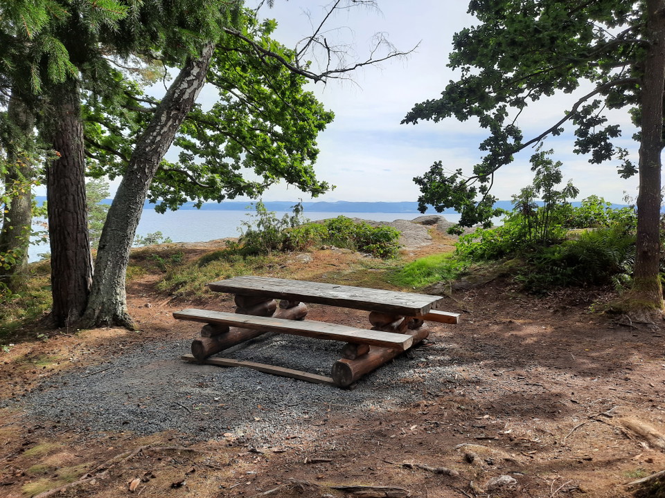
Rest area with barbecue area, shelter and seating down by the beach towards Sommen in front of Romanö. The site is accessible to wheelchair users and the visually impaired through a wooden walkway along the trail, which also serves as a run-off protection i…

Rest area

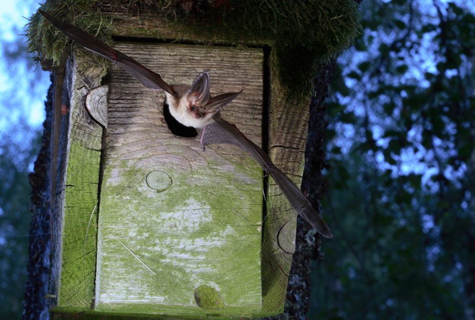
Fladdermuscentrum

  • Municipality: Jönköpings kommun
  • 6728.95 km away from you

at the Taberg mine Photo: Helen Bjurulf and Jens Rydell

Rest area

Tofta picnic and swimming area

  • Municipality: Nässjö
  • 6770.41 km away from you

On the north side of Toftaån there is a picnic area with table groups, barbecue areas, dry toilets and parking, as well as a bathing area with changing rooms and a jetty. Facilities Rest area, Bathing area, Changing rooms, Dry toilet, Parking, Fireplace

Rest area

Trollsjön (rastplats)

  • Municipality: Mullsjö
  • 6704.43 km away from you

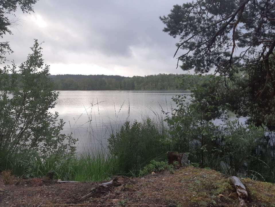
After a downhill slope you reach the incredibly beautiful Trollsjön, formerly called Gölgegöl. The lake, which is about 10 m deep, is a dead ice pit and has only underground inflows and outflows. The lake contains grass carp that graze on the vegetation, wh…

Rest area

Tomtabacken picnic area

  • Municipality: Nässjö
  • 6758.43 km away from you

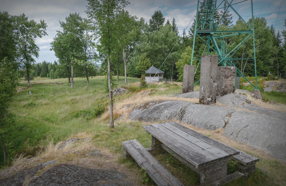
At 377 meters above sea level, Tomtabacken is the highest point in Småland, the South Swedish Highlands and Götaland. You can go up the tower, but at your own risk. At the viewing tower there is a barbecue pagoda and several table groups.

Rest area

Rastplats Hedasjön

  • Municipality: Vetlanda
  • 6810.69 km away from you

This is a nice rest area on the shore of Hedasjön. This hidden gem is only a short drive, or walk, from road 28. If you really want to it is possible to go for a swim, but if you like a little higher standard on your beaches we recommend you to drive the sh…

Rest area

Huluberget picnic area

  • Municipality: Nässjö
  • 6763.75 km away from you

On Huluberget there is a picnic area with a table group and a viewing tower. The top of the mountain is 364 meters above sea level and from the tower you have a really nice view of Nässjö. Facilities on the hill Rest area, Viewpoint

Rest area

The Mattarp beech forest

  • Municipality: Nässjö
  • 6766.95 km away from you

The Mattarp beech forest is one of the northernmost beech stands in Europe and is located between the villages of Broddarp and Mattarp on the highest parts of the Småland Highlands. There are picnic tables here.

Naturkartan

Open this in the app