
Höglandsleden stage HÖ1 - Västra Lägern - Skuruhatt - Part of Smålandsleden
- Hiking
- County: Jönköpings län
- 6778.39 km away from you
Trail details
- Length 7.5 km
- Time 2 h
- Difficulty Blue - medium
Actions
Description
At Västra Lägern, the Aneby Trail and the Östgötal Trail connect to the Högland Trail. The lake is a clear water lake with rocky and partly steep shores, one of the county's most distinctive rift valley lakes.
In Munkebo, the Östgötaleden trail continues towards Österbymo. At the border with Östergötland, the trail crosses the river at Hästemålen via a distinctive railway bridge, where there are also remains of an old mill.
At Stengöl manor, mentioned as early as 1395 and with buildings from the 1600-1700s, the trail follows the old narrow-gauge railway between Eksjö and Österbymo.
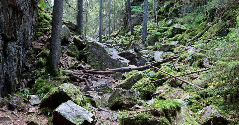
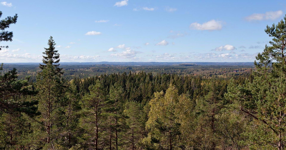
The stage ends at Skuruhatt nature reserve, Eksjö's highest point at 337 meters above sea level. Here lies Skurugata, an 800 meter long rift valley with rock walls up to 40 meters high.
Activities And Facilities
- Hiking
Downloads
Contact
Email address
Organization logotype

I’ve been here 3


I want to go here 4

Questions & Answers
Ask a question to other Naturkartan users.
Reviews
0 reviews
- 5 :
- 4 :
- 3 :
- 2 :
- 1 :
Users images
No user images yet. Be the first to share!
