
-
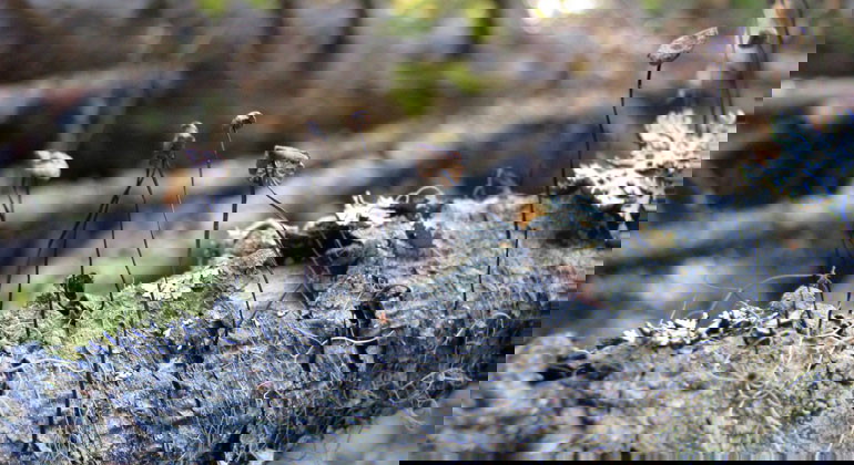
Photo: Länsstyrelsen
Blårönningen
- Nature reserve
- County: Gävleborgs län
Actions
Description
Blårönningens nature reserve consists of an old spruce forest with lots of moss and fallen trees. There are no marked trails or paths here, so you can roam freely in the forest. Just outside the reserve boundary you can hike on the Hälsingland Trail. The plants and the forest offer a fine nature experience.
Blårönningen is located 7 km southwest of Arbrå and covers 16 hectares. Many of the spruce trees in the reserve have blown over or died standing in recent years. These dead trees mean that there are plenty of unusual fungi that feed on dead spruces.
Source: County Administrative Board
Activities And Facilities
- Nature reserve
Contact
Address
Information hämtad från öppna datakällor till Naturkartan.se
Email address
Emil Hellström
Organization logotype

Please be aware that some of these texts have been automatically translated.
I’ve been here 1

I want to go here 4

Questions & Answers
Ask a question to other Naturkartan users.
Reviews
0 reviews
- 5 :
- 4 :
- 3 :
- 2 :
- 1 :
Users images
No user images yet. Be the first to share!
