
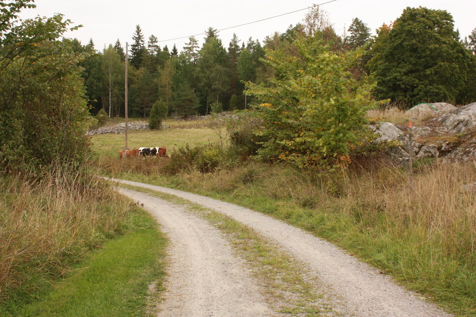
The Uppland Trail, section 13, 16,5 km
- Hiking
- County: Uppsala län
Trail details
- Length 16.5 km
Actions
Description
Activities And Facilities
- Hiking
Surface
Mostly hiking along different types of roads. A few kilometers along easy forest paths.
Parking
Parking is available at Risön in Florarna, and at Barnens bruk in Lövstabruk.
Communications
From Lövstabruk there is a bus to Tierp from where you can continue with the Upptåget. The stop at the end of the stage is called Lövstabruk herrgården.
Directions
Risön is located in the northern part of Florarnas nature reserve. Take road 76 to Lövstabruk and from there follow the signs to Örbyhus. After 6 km there is a sign for Florarna and Risön.
Lövstabruk is located along road 76, one mile south of Skärplinge. In the northern part of the community there is a parking lot at Barnens bruk.
Contact
Email address
Upplandsstiftelsen
Organization logotype

Please be aware that some of these texts have been automatically translated.
I’ve been here 26





I want to go here 35





Questions & Answers
Ask a question to other Naturkartan users.
Reviews
1 review
- 5 :
- 4 :
- 3 :
- 2 :
- 1 :
Users images
No user images yet. Be the first to share!

Sträckan snuddar vi Finnsjön ganska länge - och säga vad man vill med vandring som ger vattenkänning är ju alltid lite extra fint (om det nu inte är regn förstås).
Med start från Löfstabruk så avslutar men dessutom på topp vid Florarnas Naturreservat där det finns gott om rastplats och desutom övernattning vid behov.