
walking trails in Sjöbo- Knäppan nature reserve
- Hiking
- County: Östergötlands län
- 6732.58 km away from you
Trail details
- Length 15.4 km
Actions
Description
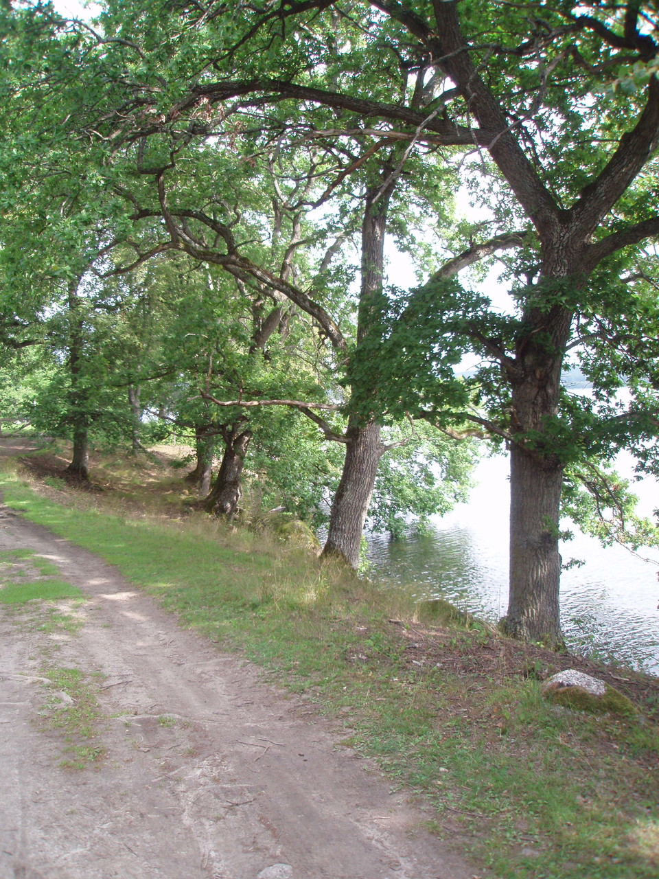
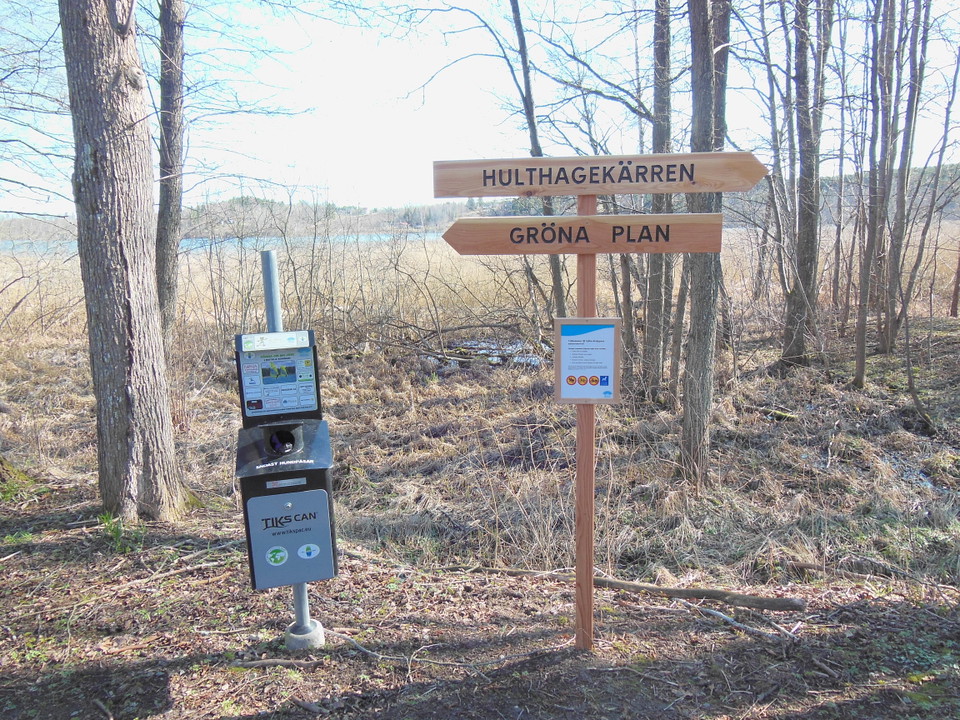
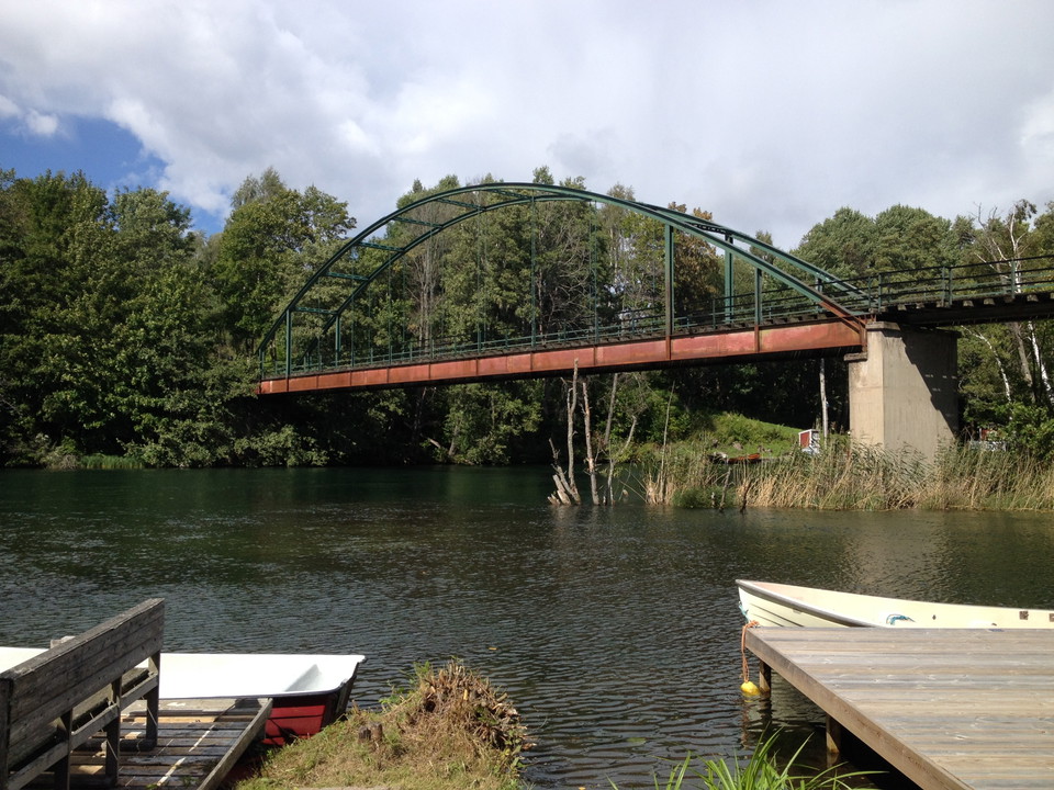
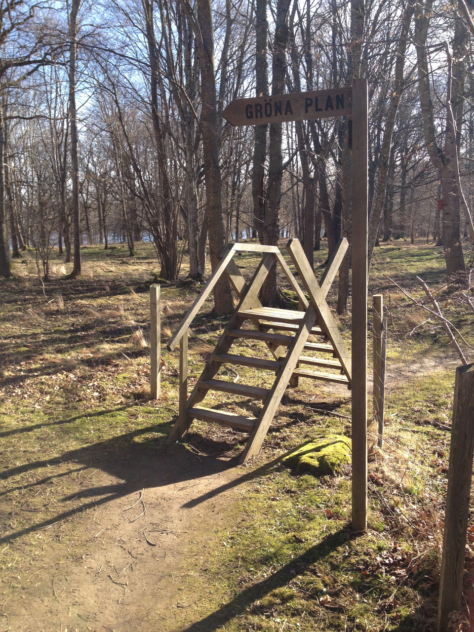
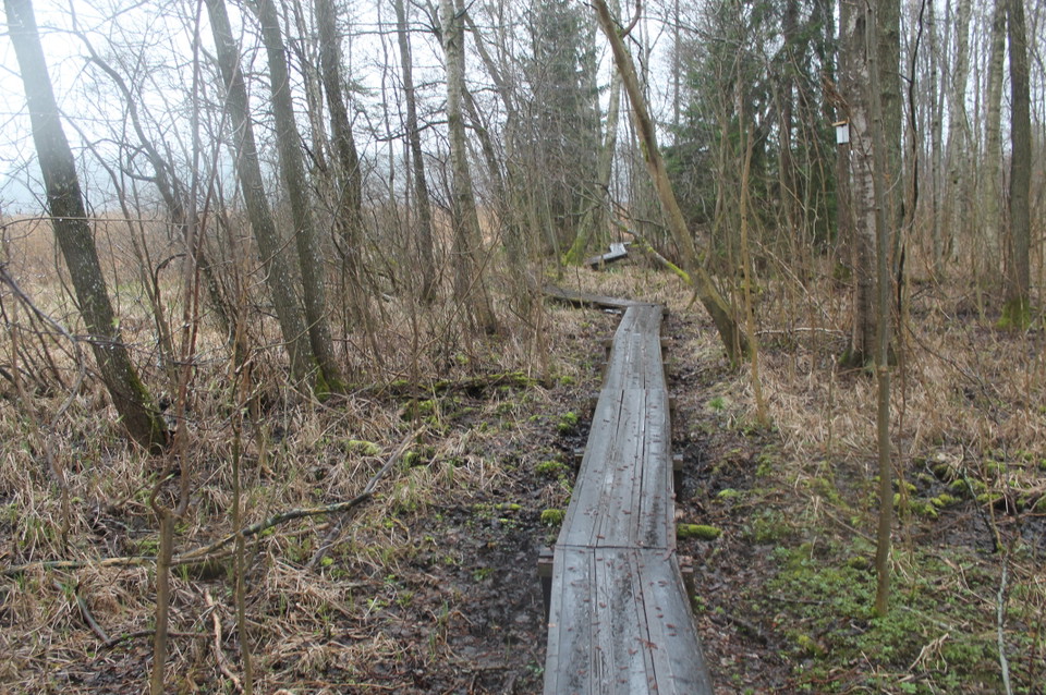
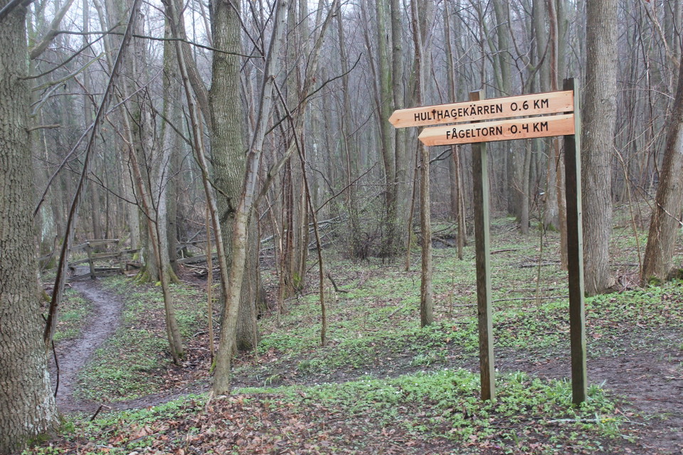
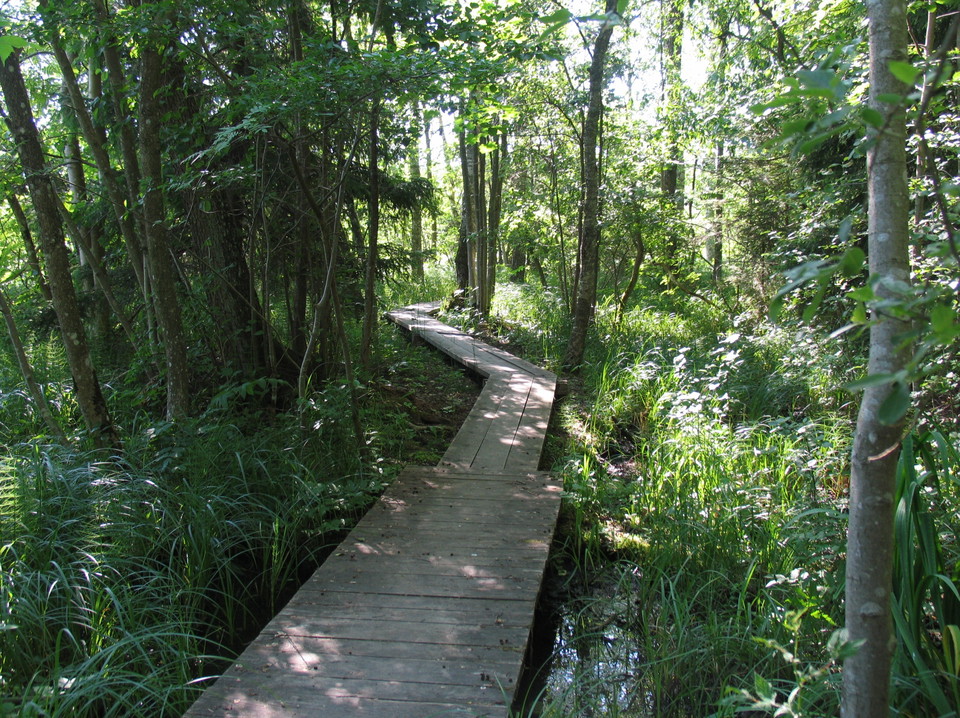
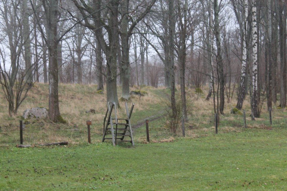
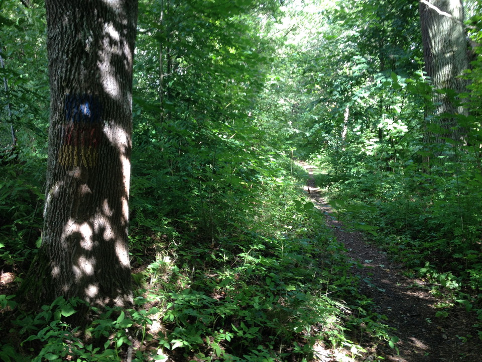
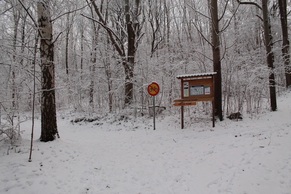
In Sjöbo-Knäppan there are a number of signposted hiking trails that go through the reserve from the slag bridge over Motala stream in the west, to Hulthagekärret in the east. It is also possible to hike a marked hiking trail to Staffanstorps nature reserve over Charlottenborg's nature area. Parts of the hiking trails in the western parts goes over what was previously a slag tip. There may be some slag, scrap and debris in the area originating from the slag tip. Parts of the paths, for example between Sjöbotorpet and Gröna plan, are adapted for accessibility.
Activities And Facilities
- Hiking
Directions
Drive towards Ekenäs in Charlottenborg. Then continue Textilvägen to a parking lot by Sjöbo-Knäppan.
Contact
Address
Kontakta mig om du har frågor om Motalas Naturkarta.
Email address
Hilda-Linn Berglund
Organization logotype

I’ve been here 12





I want to go here 10


Questions & Answers
Ask a question to other Naturkartan users.
Reviews
0 reviews
- 5 :
- 4 :
- 3 :
- 2 :
- 1 :
Users images
No user images yet. Be the first to share!
