
-
-
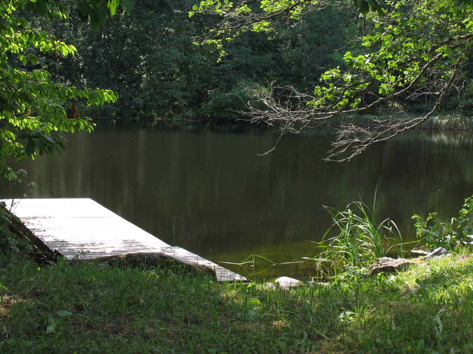
Photo: Alf Johansson -
-
-
-
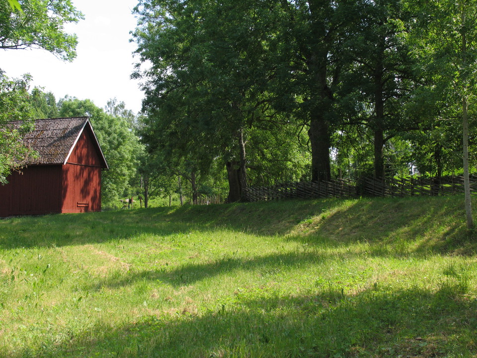
Photo: Alf Johansson -
Yellow Trail in Staffanstorp
- Circular trail
- Walking
- Near parking
- Near toilet
- County: Östergötlands län
- 6734.13 km away from you
Trail details
- Length 1.3 km
Actions
Description
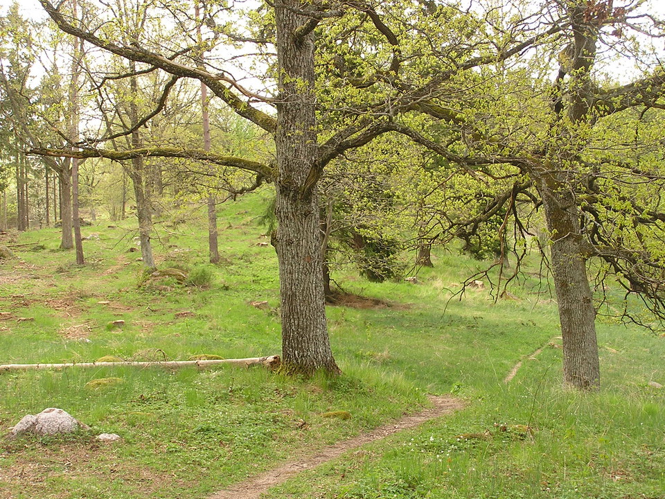
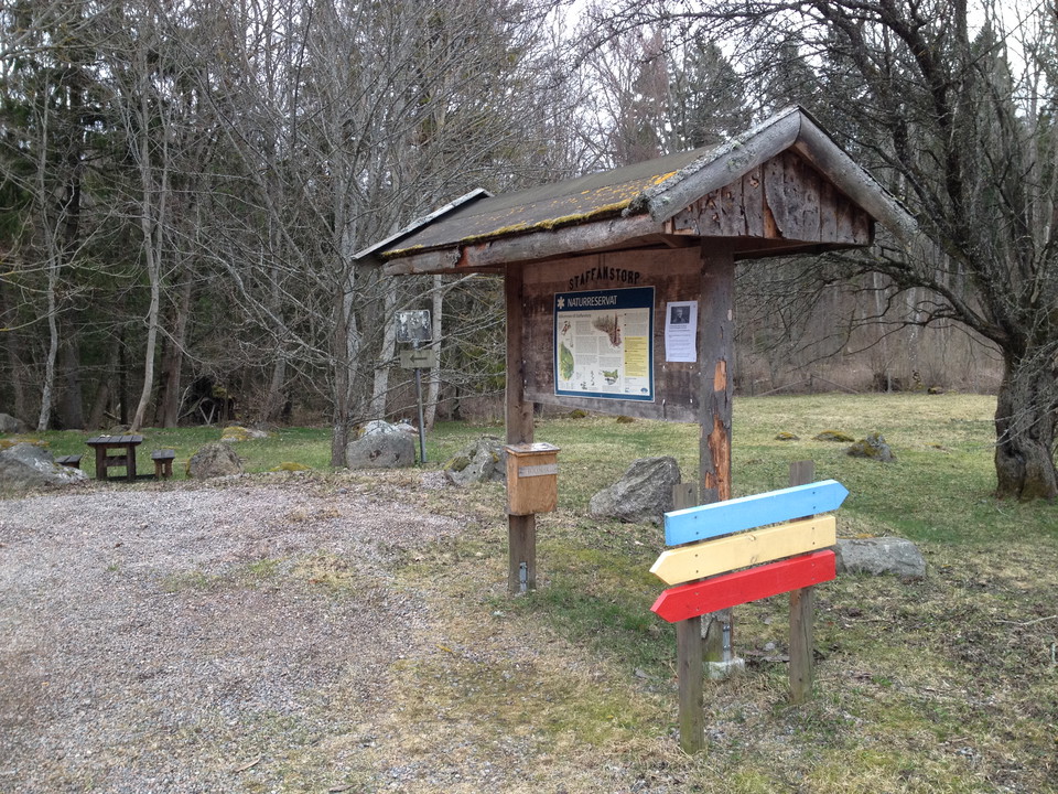
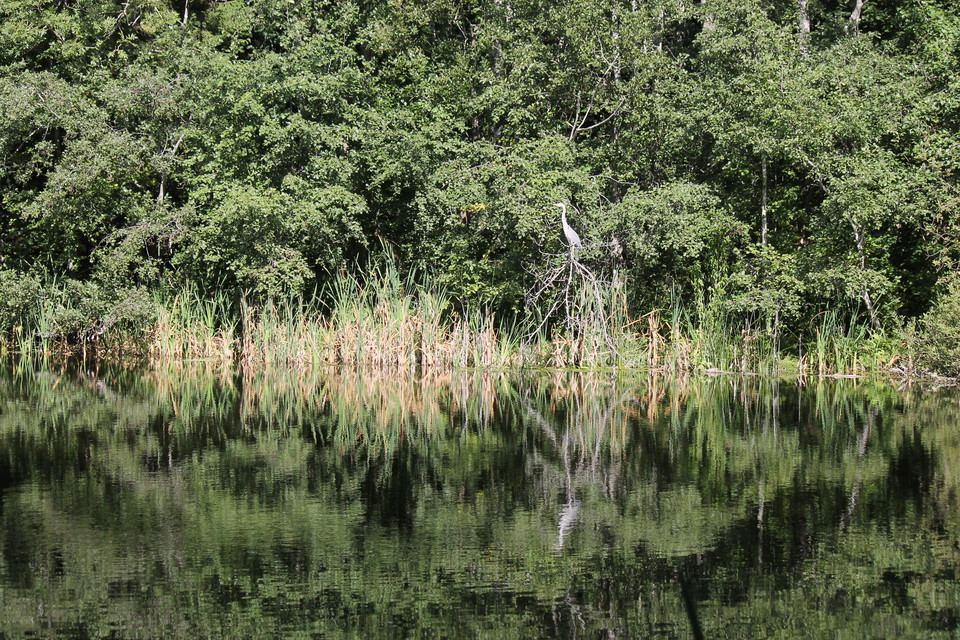
In Staffanstorps nature reserve, well-trodden paths lead the way through herb-rich spruce forest, sheep-grazed dry slopes, past marshes and lakes. The dead ice landscape in the reserve was formed during the last ice age. The hilly terrain and the calcareous moraine create conditions for the area's different vegetation types.
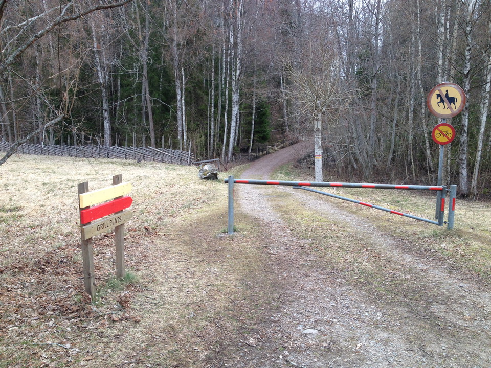
The yellow trail leads you through open pastures and past lakes and marshes. There is also a firesite along close to Mellansjön.
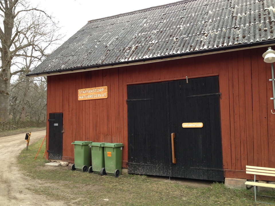
At the visitor barn in Staffanstorp nature reserve, there is an accessible toilet and barbecue area. The nature reserve is managed by Motala municipality.
Activities And Facilities
- Walking
- Circular trail
Accessibility
- Near parking
- Near toilet
Contact
Address
Kontakta mig om du har frågor om Motalas Naturkarta.
Email address
Hilda-Linn Berglund
Organization logotype

I’ve been here
I want to go here 2

Questions & Answers
Ask a question to other Naturkartan users.
Reviews
0 reviews
- 5 :
- 4 :
- 3 :
- 2 :
- 1 :
Users images
No user images yet. Be the first to share!
