Hiking trail to Lill-Ruten
- Municipality: Örnsköldsvik
- 6641.34 km away from you
- 0.6 km
- Difficulty: Blue
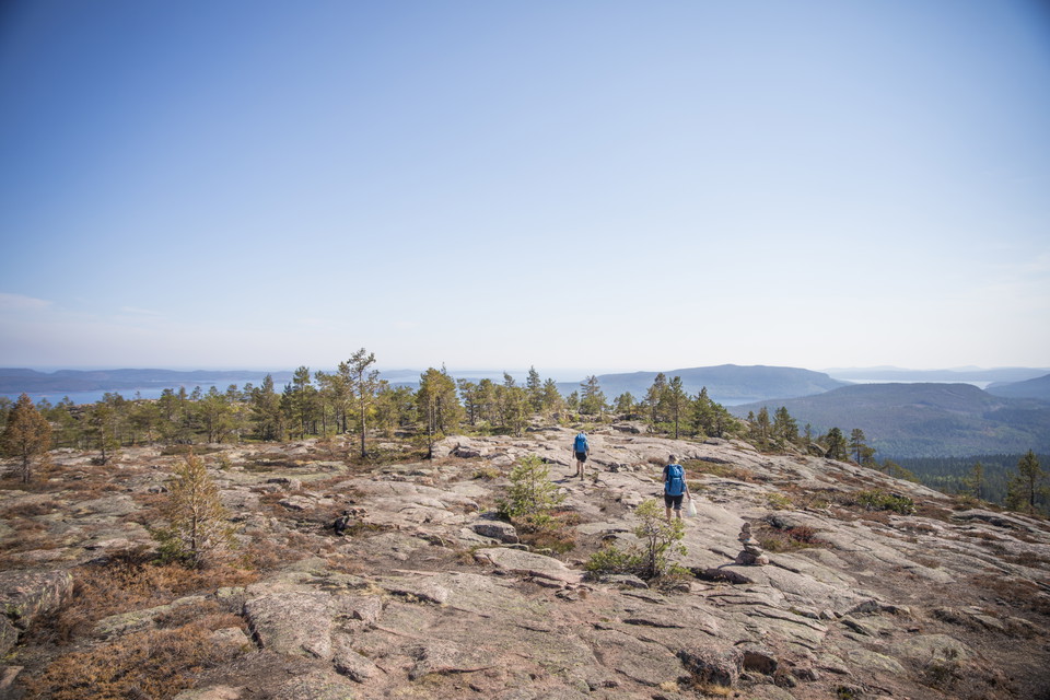
Detour to Lill-Ruten where there is an overnight cabin, shelter, fireplace and toilet.

Örnsköldsvik
Naturkartan samlar de vandringslederna i Örnsköldsvik som är populärast bland våra användare.
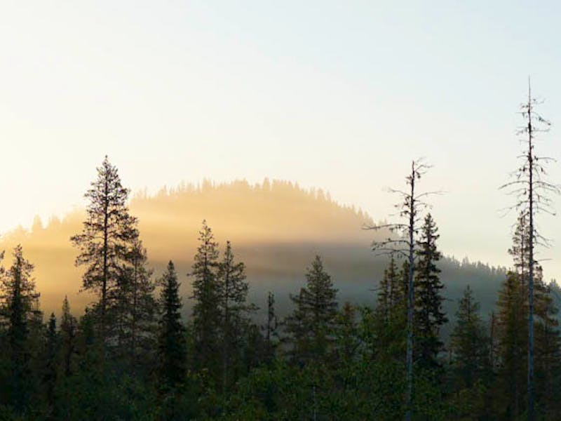
Detour to Lill-Ruten where there is an overnight cabin, shelter, fireplace and toilet.
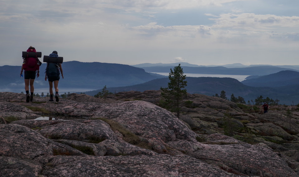
This trail is a detour from the High Coast Trail. It goes up and over the mountain Slåttdalsberget and gives you a splendid view. If you're hiking from the south entrance to Slåttdalsskrevan and back, you can take this trail on your way back to see some mor…
A shortcut if you are hiking between the north entrance and Tärnättholmarna.
This scenic stage takes you right through the heart of Skuleskogen National Park. You'll hike through old-growth forest, pass dramatic heights and have the opportunity to make detours to viewpoints located west of the famous Slåttdalsskrevan - a place that…
From Skuleskogen National Park Entré Nord, the trail follows a gravel road down towards the community of Näske and on to Köpmanholmen. From here, the trail continues along the coastal landscape to Sandlågan, where you enter Balesudden Nature Reserve. The re…
The stage starts in the Balesudden reserve and continues along the gravel road via Bäckfjärden through the village of Bäck to Utby. Then a hilly stretch over the Vitsjö massif awaits before you reach Svedjeholmen. You pass through the community and further…
Naturkartan samlar de vandringslederna i Örnsköldsvik som är populärast bland våra användare.