
Lindshammarleden
- Hiking
- Walking
- Running
- Stroller accessible
- Near parking
- Circular trail
- County: Kronobergs län
- 6808.67 km away from you
Trail details
- Length 10.0 km
- Difficulty Blue — medium
Actions
Description
Activities And Facilities
- Walking
- Running
- Hiking
- Circular trail
Accessibility
- Stroller accessible
- Near parking
Facts
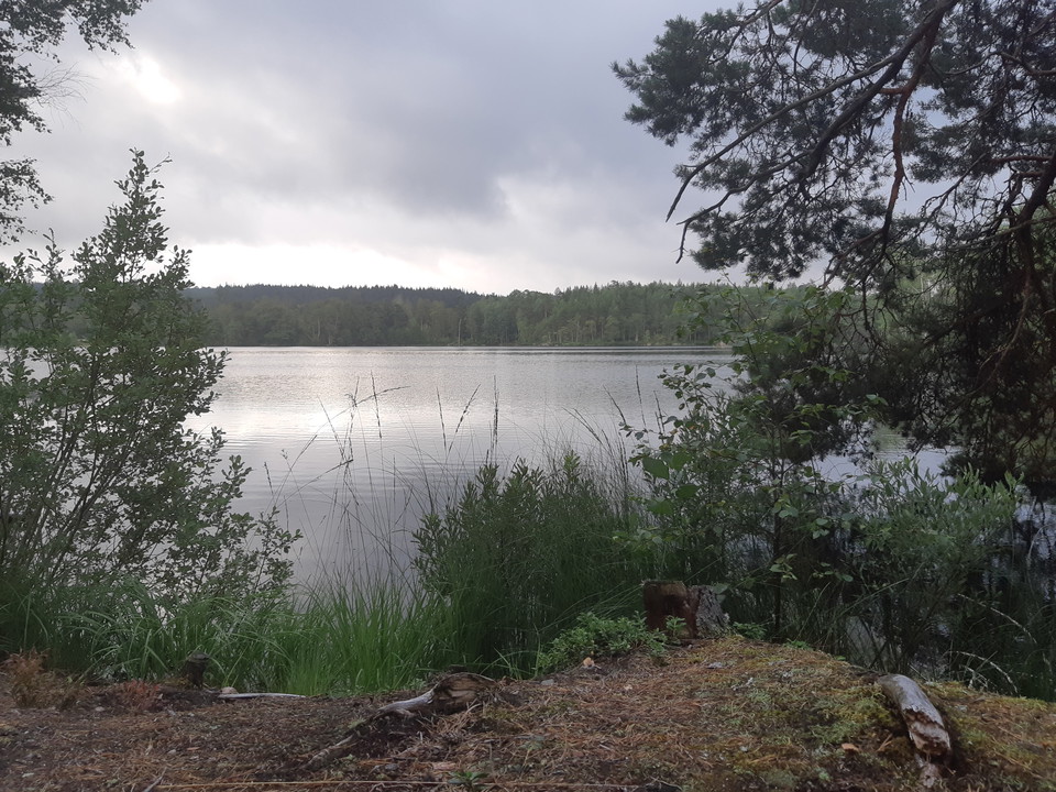
Lindshammarleden is clearly marked with markings and is 11 kilometers long. It runs in parts along the Vildmarksleden trail. This loop makes a small detour past Boskvarnasjön via Sissebäck and Källhaga. If you walk the loop counterclockwise, you do not turn left into the forest when you get to Sissebäck but continue on the gravel road until you get to Källhaga. There you turn left and cross the main road. Then you are at Boskvarnasjön again.
Surface
About 70% of the route is on gravel roads.
Approximately 20% of the route is off-road.
Approximately 10% of the round is on asphalt.
Parking
If you want to walk the entire Lindshammar trail and come by car, we recommend that you park at the old glassworks in Lindshammar.
Directions
The loop is close to road 28.
Contact
Email address
Kultur- och fritidsavdelningen i Uppvidinge kommun
Please be aware that some of these texts have been automatically translated.
I’ve been here 1
I want to go here 20







Reviews
—
0 reviews
- 5 :
- 4 :
- 3 :
- 2 :
- 1 :
Questions & Answers
Ask a question to other Naturkartan users.
Users images
Share your photos of the place!
