
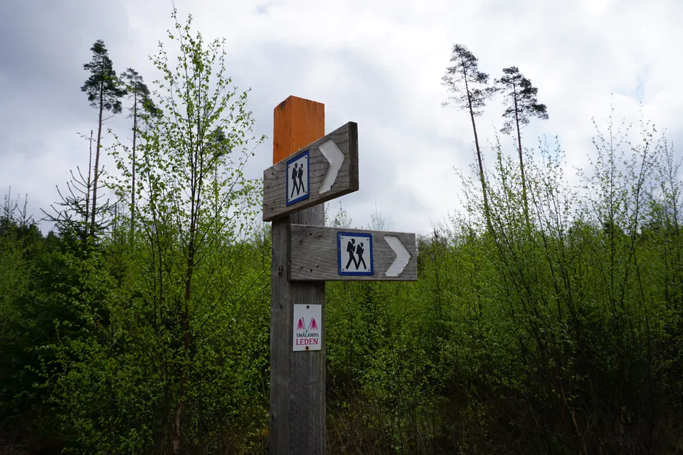
Höglandsleden stage HÖ23 Åsafors - Kärringabacka - Part of Smålandsleden
- Hiking
- County: Jönköpings län
- 6724.58 km away from you
Trail details
- Length 15.9 km
- Time 4 h
- Difficulty Blue - medium
Actions
Description
Stage HÖ23 of the Höglandsleden trail stretches between Åsafors and Kärringsbacka and offers a scenic hike through Småland's varied landscape. The trail passes through dense forests, open meadows and along rippling streams, providing a rich experience of the region's flora and fauna.
During the walk, you will pass several sites of cultural and historical interest that bear witness to the area's history of farming. The terrain is varied, with both easy trails and more hilly sections, making the stage suitable for hikers with some experience.
There are few rest stops along the route, so it is recommended to carry enough water.
Activities And Facilities
- Hiking
Downloads
Contact
Email address
Organization logotype

I’ve been here
I want to go here 1

Questions & Answers
Ask a question to other Naturkartan users.
Reviews
0 reviews
- 5 :
- 4 :
- 3 :
- 2 :
- 1 :
Users images
No user images yet. Be the first to share!
