County Administrative Board of Halland
Guide to the nature reserves in the county of H...

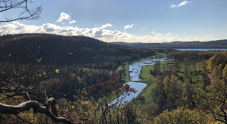
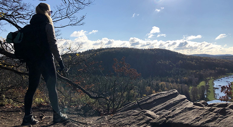
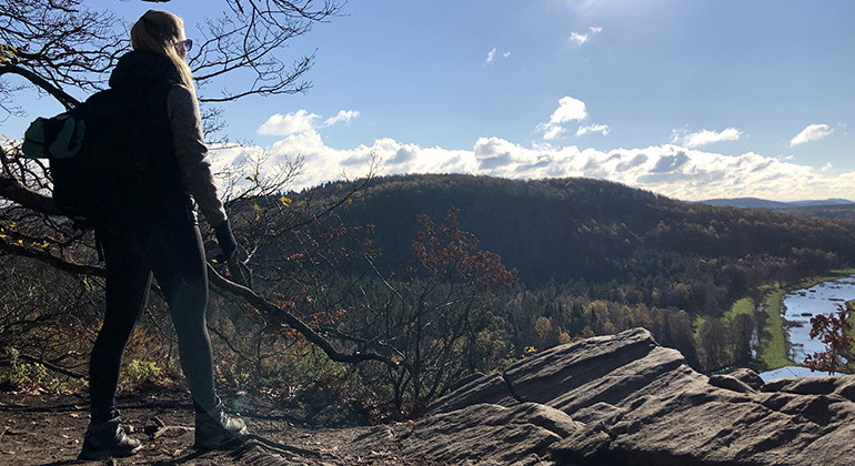
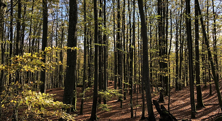
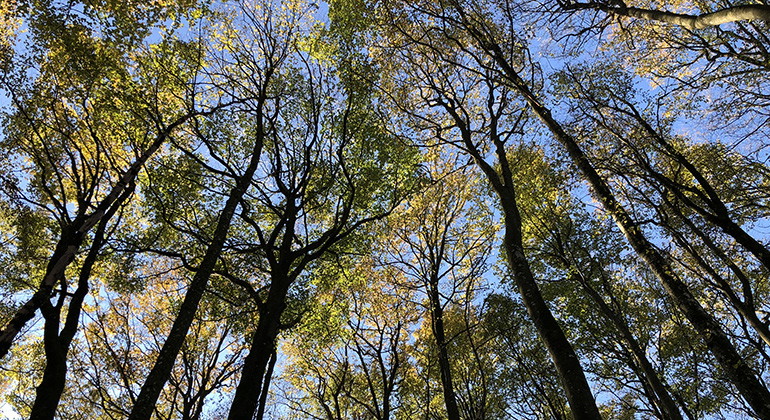
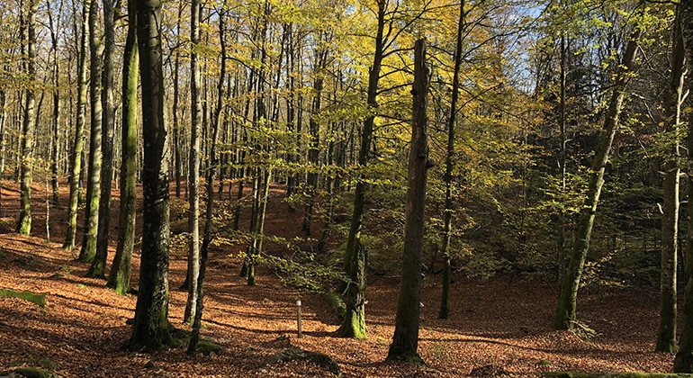
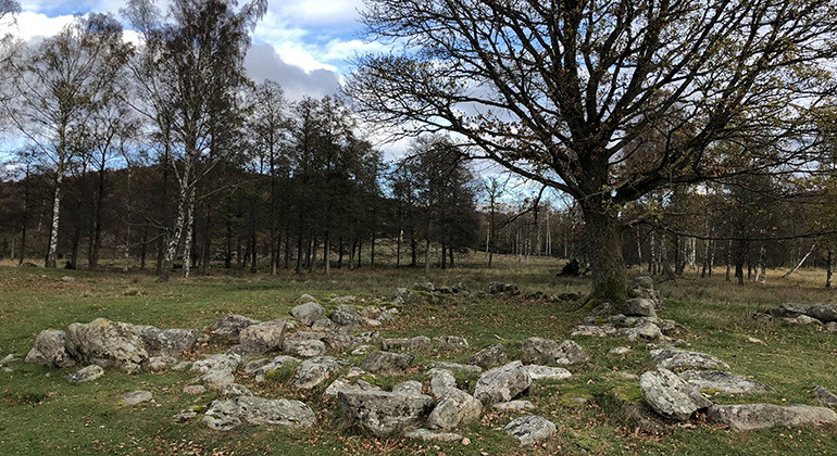
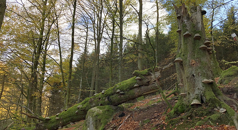
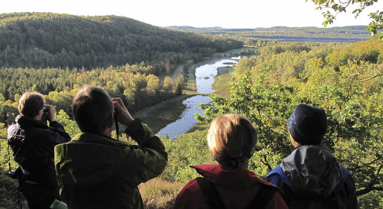
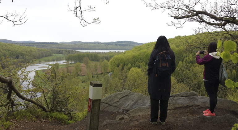
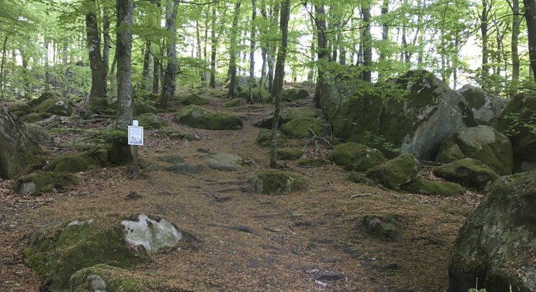
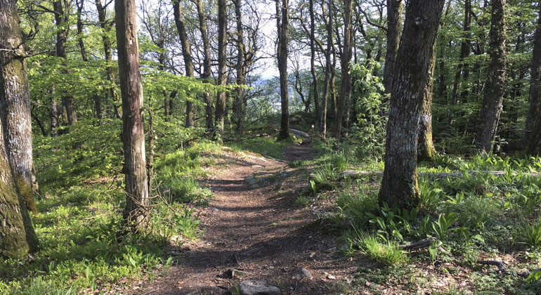
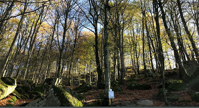
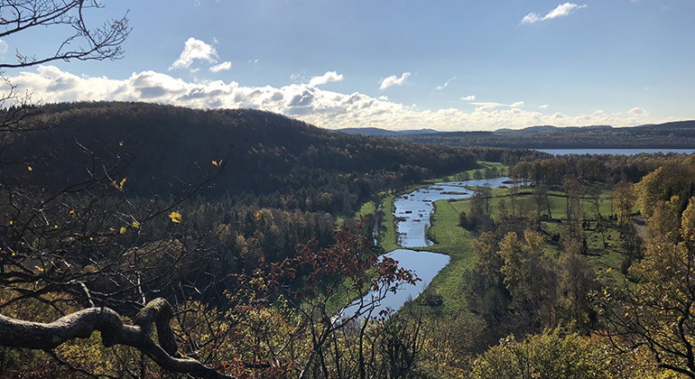
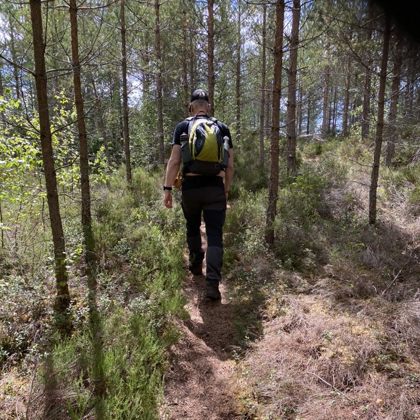
Skogsbo is the largest reserve in Åkulla beech forests. The Skogsbostigen hiking trail runs through the reserve. The trail is 5.5 kilometers long and has a total ascent of 250 meters. This may well be Halland's most demanding hiking trail as it goes up five of the reserve's six steep hills. Don't forget your water bottle and expect a few hours of tough exercise. The reward is miles of views and fascinating forest environments.
Due to the large number of visitors, a dangerous traffic situation has arisen at the Hiaklitten parking lot. If this parking lot is full, we refer to the parking lot at Holma ö along Skogsboslingan. Otherwise, we refer to other hiking trails and parking lots in Åkulla Bokskogar: www.akullabokskogar.nu Link to other website
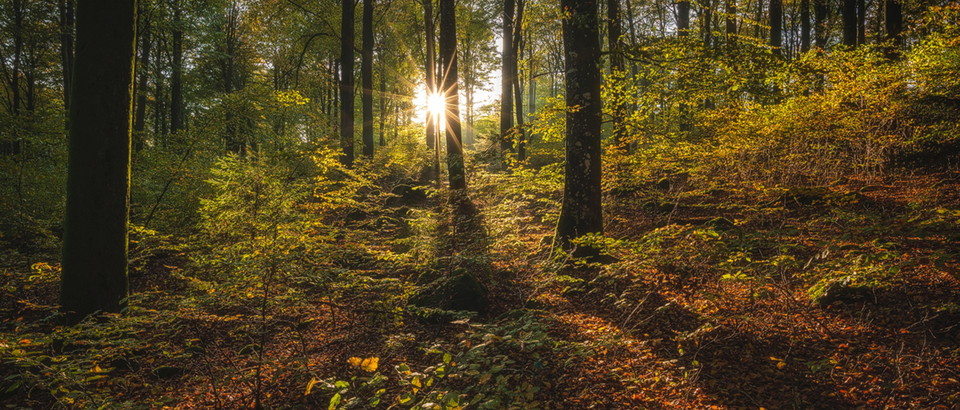
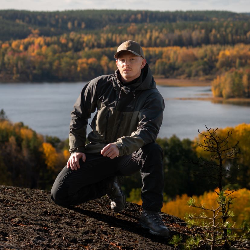
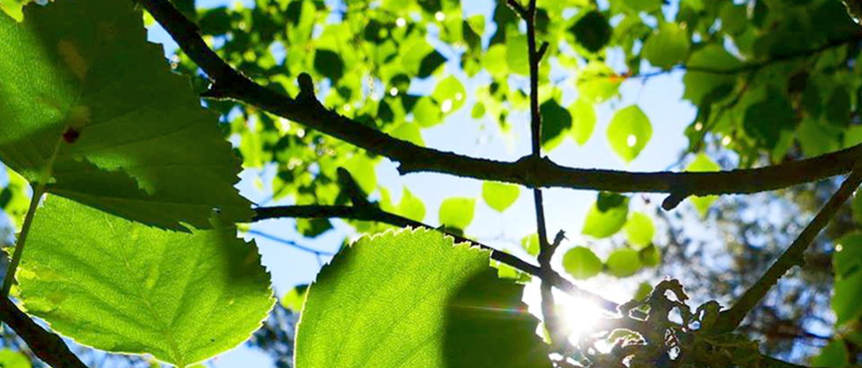
Åkulla beech forests are very beautiful with their many mountain peaks in contrast to the many lakes. The beech forest in Skogsbo is easily accessible and pleasant to walk in. It is particularly beautiful in the spring when the beech trees open up and their delicate greenery spreads out. In summer it is lush and cool in the beech forest and in autumn the forest shows its colorful splendor when the leaves turn yellow and red and the forest looks like it is on fire.
There are six steep hills in the reserve. Byaberget, with its 130 meters above sea level, is the highest point. Djupeåsen reaches 75 meters above the surroundings and is covered with old beech forest. Hiaklitten is another hill that rises about 60 meters above the surroundings and has very steep slopes. Between the heights there are pastures, pasture-covered forests and alder shore forests, which contribute to the exciting variation in the area.
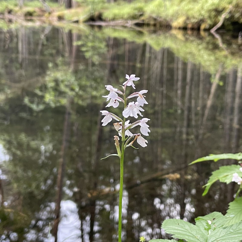
No less than 87 red-listed or regionally interesting species have been found in the area, most of them lichens and mosses. The southern slope of Byaberget, known as Ramlaklitten, is a steep ridge that is particularly rich in species. There are boulder-rich scree slopes with, among other things, lime trees, and the rare lesser spotted woodpecker nests here. Wood pigeons and nuthatches have also been seen here.
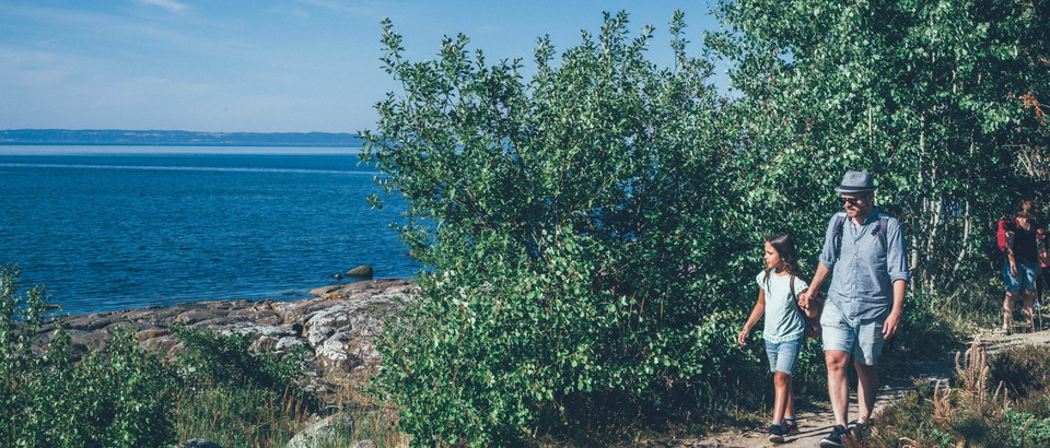
On Holma Island, a peninsula jutting out into Lake Byasjön, you can see the remains of a medieval castle, Truedsholm. The castle was probably built at the end of the Middle Ages. It was an important defense facility in the Danish Empire of the time. From here, a route between the coast and the forest could be guarded. Around the castle ruins there is open pasture with scattered groves of trees. Just south of Holma Island, in Lake Byasjön, there is also a bathing area. There are bench tables at the sandy beach.
The reserve is part of Åkulla beech forests. It is a collective name for about ten similar nature reserves that are located in the same scenic area. The reserves are linked by a system of hiking trails. The Åkulla area has a café and restaurants. There is also accommodation in hotels, hostels and B&Bs.
Dominant habitat type: Broadleaf forest
Municipality: Varberg
Area: 255 hectares
Protected since: 1976/2006
Owner: Private
Trustee: County Administrative Board
Other: The area is partly included in Natura 2000
Skogsbo is located in Varberg municipality.Public transport: Bus stop "Skogsbo". (During the period 17/6 - 18/8 2024, the stop is served by the seasonal bus line Åkturen. More information and timetable at visitvarberg.se)Directions: In Sibbarp drive north towards Ästad. For the southern part of the reserve, including Holma island, there is parking along the road about 1.5 kilometers after passing Ästad farm. For the northern part continue another 1 kilometer where parking is along the road. GPS (WGS84): Lat N 57° 4' 55" Lon E 12° 33' 15".
To protect the nature reserve, the County Administrative Board has decided on special regulations, including those that you as a visitor to the area must follow and respect.
In addition to what applies under other legislation, it is forbidden to:
Kontakta reservatsförvaltningen för frågor, synpunkter och felanmälan.
Länsstyrelsen i Hallands län
Please be aware that some of these texts have been automatically translated.



Ask a question to other Naturkartan users.
0 reviews
No user images yet. Be the first to share!