
-
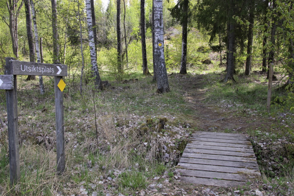
Stigen är gulmarkerad och utgår från fågeltornet. -
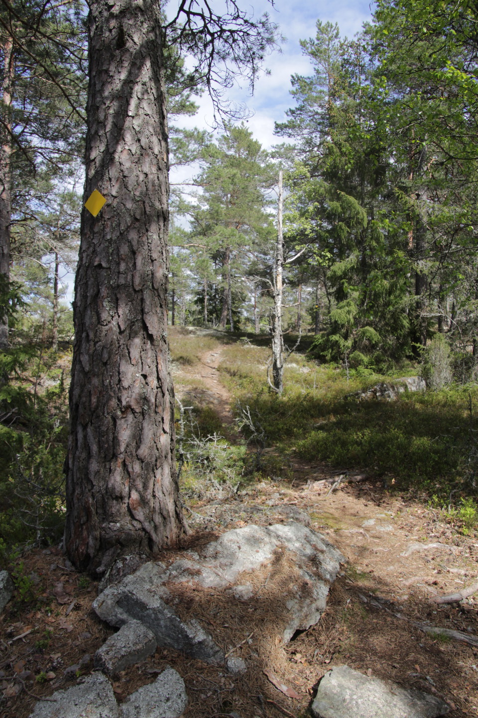
Stigen är markerad med gula brickor på träd. -
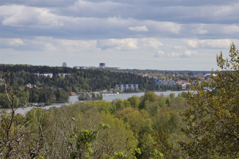
Utsikten över Södertäljes inlopp från Mälaren. -
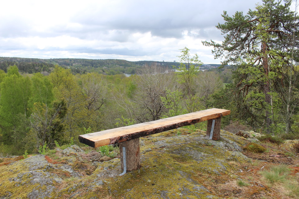
Längst upp kan du vila dig på en bänk. -
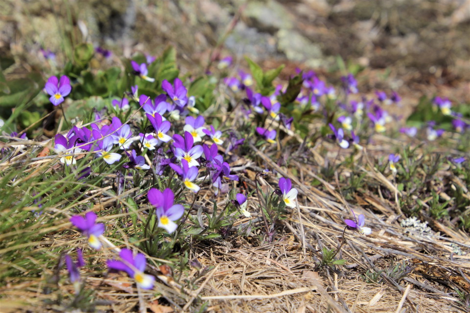
Styvmorsviol trivs på de torra hällmarkerna -
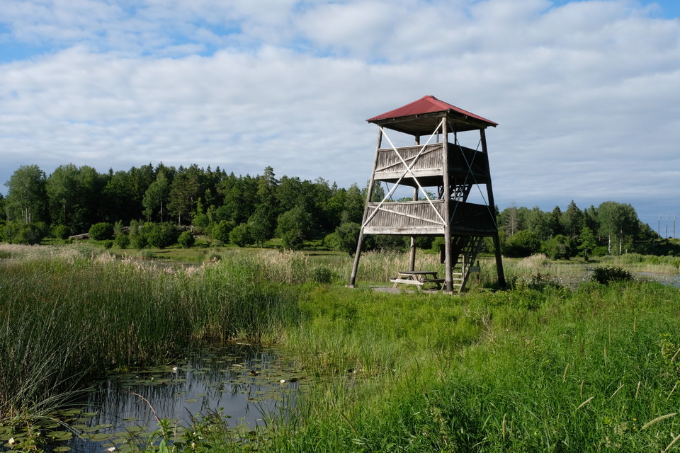
Stigen utgår från fågeltornet.
Utsiktsstigen i Lina naturreservat
- Hiking
- County: Stockholms län
- 6819.52 km away from you
Trail details
- Length 0.4 km
Actions
Description
The viewing path is about 400 meters long (one way) and marked with yellow tiles. If you follow the path, it will lead you up to a rocky outcrop in Lina nature reserve from where you have a breathtaking view of the outlet of Lake Mälaren towards Södertälje. The forest you pass consists largely of pines and junipers on rocky ground. The path is hilly and rocky. At the viewpoint there is a rest bench, perfect for your picnic. The trail starts at the bird tower at Linasjön.
Activities And Facilities
- Hiking
Directions
Lina nature reserve is located about 5.5 km northwest of Södertälje center. The viewing path starts at the bird tower located at the southern end of Linasjön. The nearest bus stop is called "Linavägen" and is directly adjacent to the reserve. From here you follow an easy, well-trodden path and gravel road to the tower (about 550 m). The path from the bus stop is marked in red and there are signposts to the bird tower. If you come by car, there is a reserve parking lot along Linavägen. From the parking lot, follow an easy, well-trodden path and gravel road to the tower (about 700 m). There are signposts to the bird tower.
Contact
Email address
Södertälje kommun
Organization logotype

Please be aware that some of these texts have been automatically translated.
I’ve been here 2

I want to go here 3

Questions & Answers
Ask a question to other Naturkartan users.
Reviews
0 reviews
- 5 :
- 4 :
- 3 :
- 2 :
- 1 :
Users images
No user images yet. Be the first to share!
