
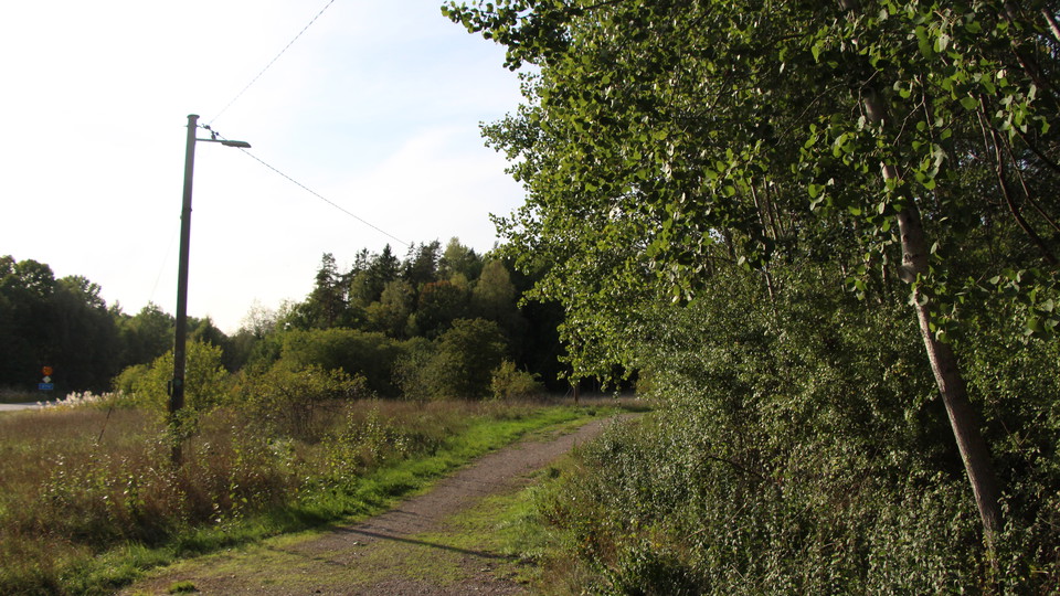
Elljusspåret Rindö
- Running
- Skiing
- Near parking
- Near Public Transport
- County: Stockholms län
- 6849.87 km away from you
Trail details
- Length 4.0 km
Actions
Description
Activities And Facilities
- Skiing
- Running
Accessibility
- Near parking
- Near Public Transport
Directions
By car: From Stockholm take the E20 and at Vallentuna/Arninge exit Vaxholm on road 274. Continue until you reach Vaxholm Centrum. By public transport: Bus 670 from Tekniska Högskolan to Söderhamnsplan in Vaxholm. Free ferry from Vaxholm to Rindö by car or bus (stop 500 m from the track).
Please be aware that some of these texts have been automatically translated.
I’ve been here 3


I want to go here 1

Reviews
—
0 reviews
- 5 :
- 4 :
- 3 :
- 2 :
- 1 :
Questions & Answers
Ask a question to other Naturkartan users.
Users images
Share your photos of the place!
