
-
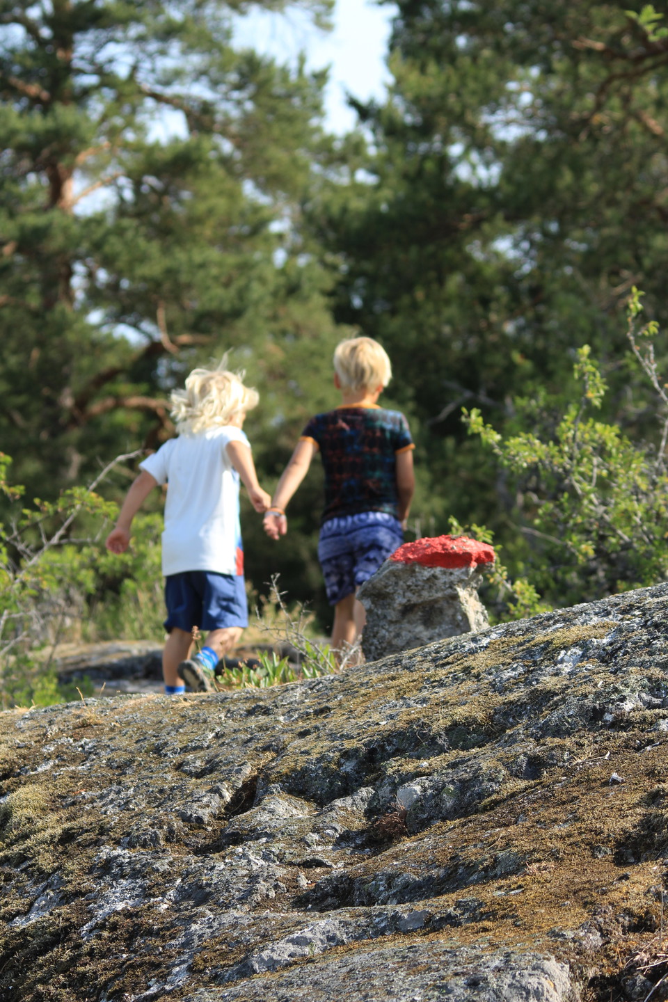
Kalkbrottstigen är ett äventyr. -
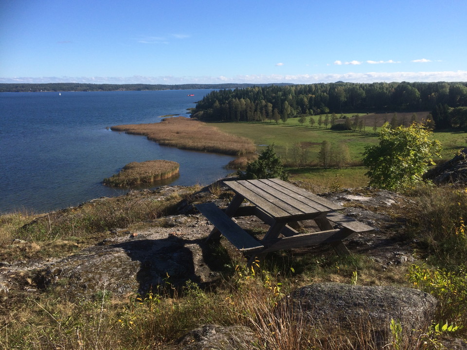
Kalkberget bjuder på en hisnande utsikt över fjärden och de betade strandängarna nedanför. -
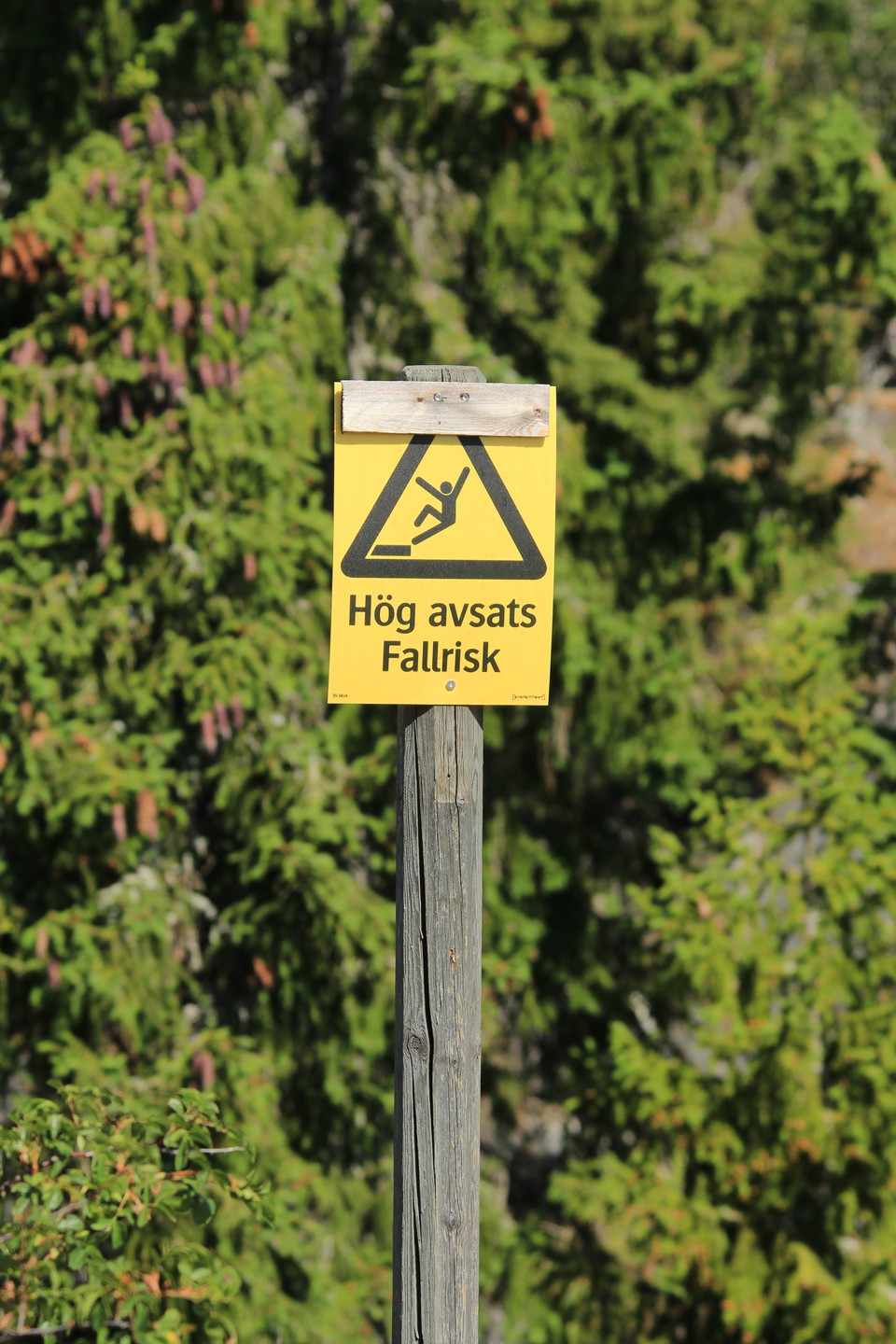
Var försiktig längs med kalkbrottet. Här finns det branta stup. -
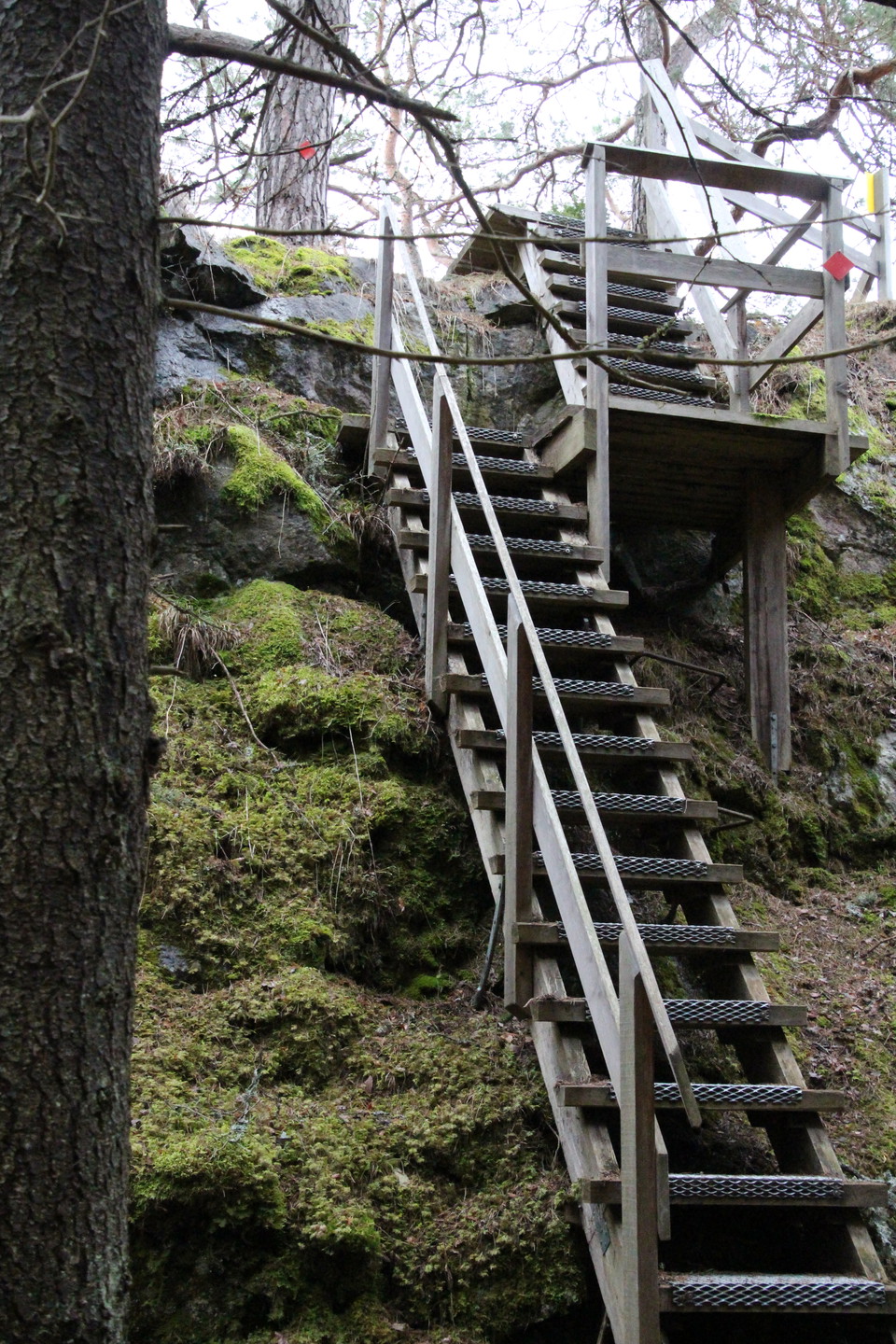
En brant trappa leder dig ned i kalkbrottet. -
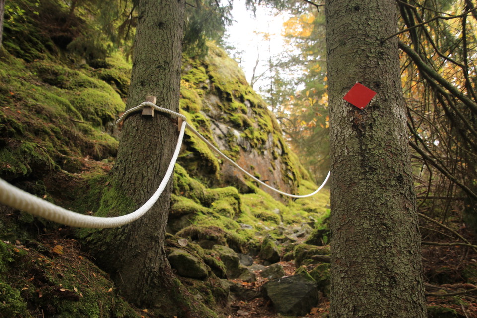
Rep hjälper dig längs de brantaste partierna av stigen. -
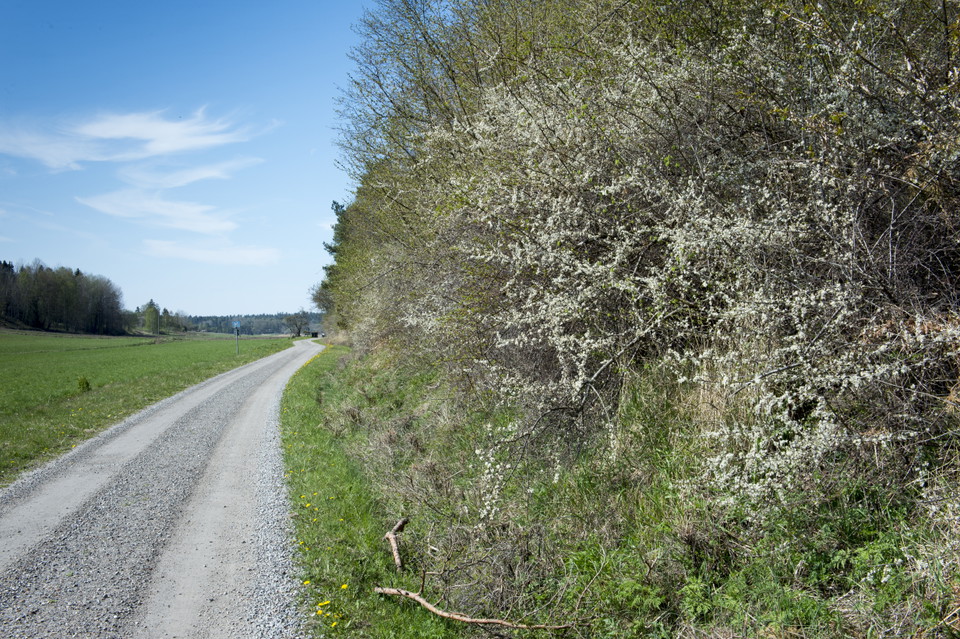
Du kan välja gå grusvägen mellan bergsbranten och strandängar tillbaka. -
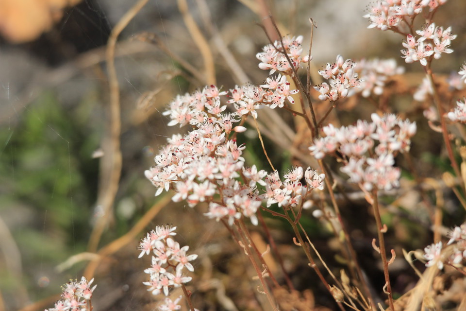
Flora och fauna på berget är ovanliga.
Kalkbrottsstigen i Karlkberget naturreservat
- Hiking
- County: Stockholms län
- 6837.75 km away from you
Trail details
- Length 1.3 km
- Difficulty Red - demanding
Actions
Description
The limestone quarry path is marked in red on cairns and trees and is 1.3 km long (single track). The path leads you up and along Kalkberget down into the limestone quarry at the northeastern end of the nature reserve and out towards the water. You can choose to walk the same way back via the mountain or to wander back along the gravel road below the mountain and the beach meadows.
At the top of the mountain is a picnic table with seating.
At the north-eastern end of the mountain is an old abandoned limestone quarry that was used in the late 1800s. The steps down to the limestone quarry are fenced in with gunnebostängsel. Remember to be careful around the limestone quarry! At the limestone quarry there is a staircase that takes you down from the mountain and into the limestone quarry. It is not shoveled in winter so be aware of slippery conditions. Along the path there are several places where prepared ropes help you keep your balance in steep sections.
The flora and fauna in the mountain is unique due to the high content of lime in the rock. Species that you normally only find on Öland and Gotland thrive here. In summer, the beautiful orchid St. Peter's keys bloom along with bloodwort, field wormwood and white buttercup. Many butterflies thrive in the flower-rich environment. If you are lucky, you can see the rare hazel dormouse warming itself in the sun in spring.
Activities And Facilities
- Hiking
Directions
Kalkberget Nature Reserve is located on northwest Mörkö. If you want to take the bus, the nearest stop is "Egelsvik". From here you have to walk along a gravel road about 1 km to the reserve. By car, drive towards Oaxen and turn left at the exit towards Egelsvik. There is a small parking lot next to the reserve next to a road barrier. The "Kalkbrottstigen" trail starts a few meters from the parking lot up left on the mountain. There are signposts.
Contact
Email address
Södertälje kommun
Organization logotype

Please be aware that some of these texts have been automatically translated.
I’ve been here 8




I want to go here 16



Questions & Answers
Ask a question to other Naturkartan users.
Reviews
0 reviews
- 5 :
- 4 :
- 3 :
- 2 :
- 1 :
Users images
No user images yet. Be the first to share!
