
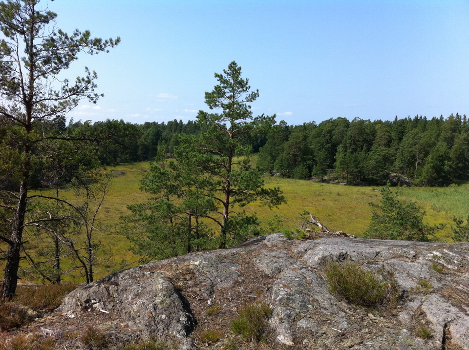
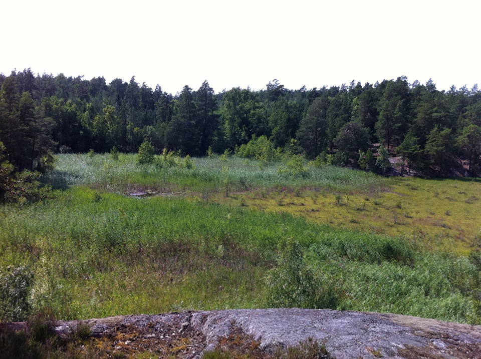
Knuts hav
- Hiking
- County: Stockholms län
- 6854.12 km away from you
Trail details
- Length 2.8 km
Actions
Description
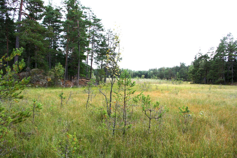
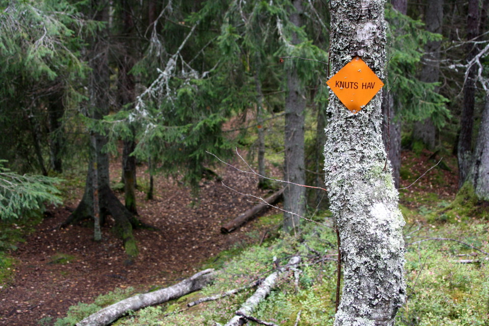
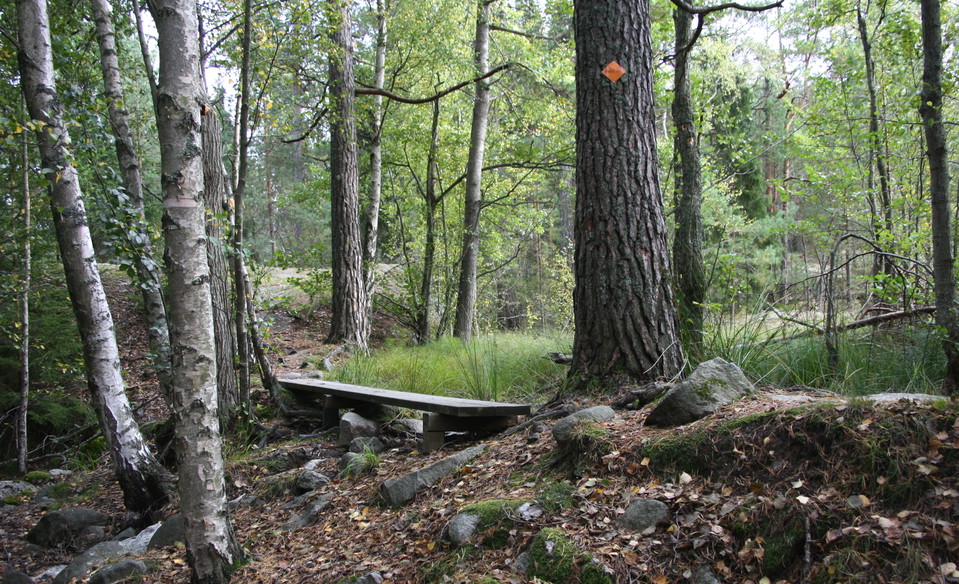
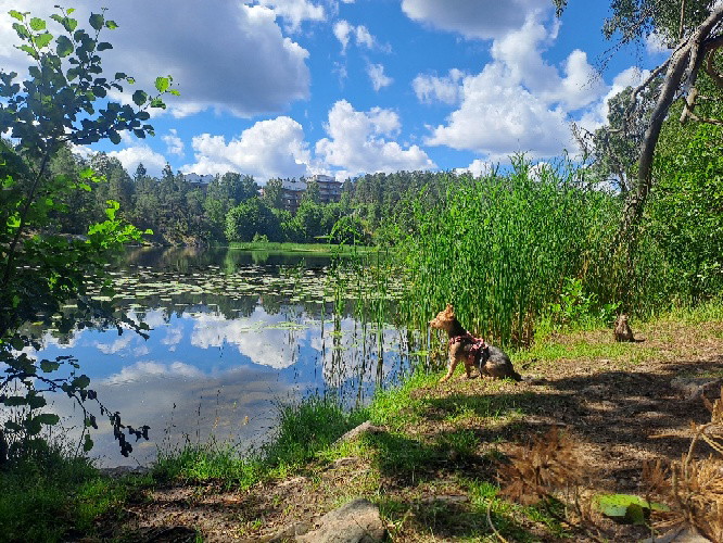
Knuts hav is an approximately 3 km long walk that goes around the bog Knuts hav. The bog was dammed up in the 19th century to lead the water out to Kvarnsjön and has a special nutrient-poor environment. There is a rest area in the south-eastern part. The trail is connected to Kvarnsjön around and forms a total length of 5.8 km. The trail runs through forest that has high natural values and is very close and easily accessible from Gustavsberg. The trail has orange signs.
Activities And Facilities
- Hiking
Directions
Connection to Knuts hav is easiest via Hästhagen, it is also possible to connect via Kvarnsjön around and start from Charlottensdal.
Contact
Email address
Kontakta Kultur & Fritid på Värmdö kommun om du har frågor!
Please be aware that some of these texts have been automatically translated.
I’ve been here 12




I want to go here 8
Questions & Answers
Ask a question to other Naturkartan users.
Reviews
0 reviews
- 5 :
- 4 :
- 3 :
- 2 :
- 1 :
Users images
No user images yet. Be the first to share!
