
-
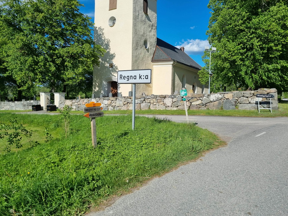
Regna kyrka -
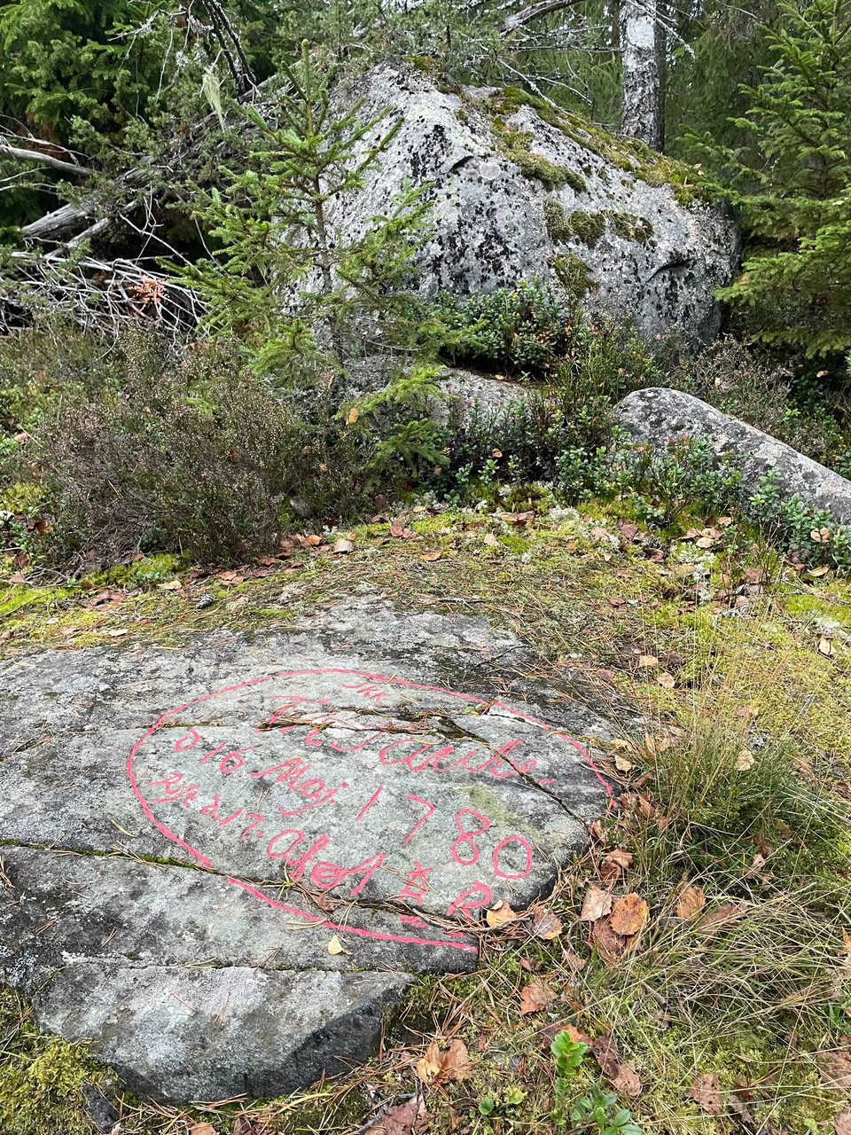
Auroras sten. -
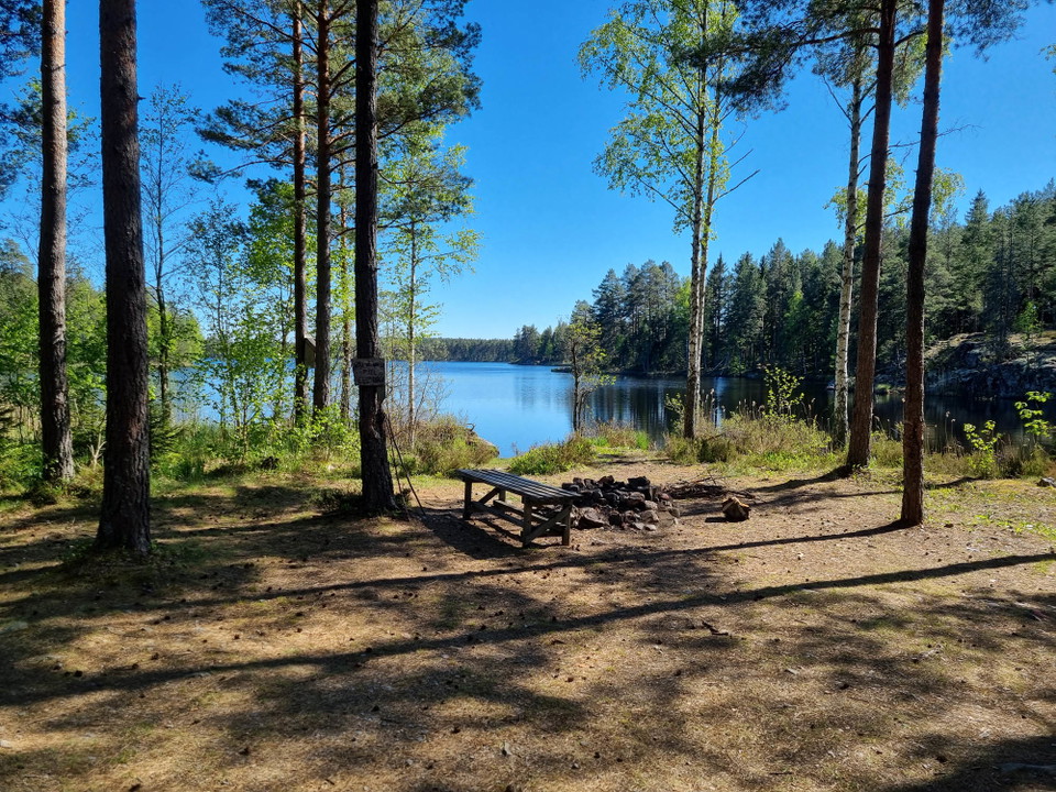
Liten rastplats vackert belägen vid Hagviken. -
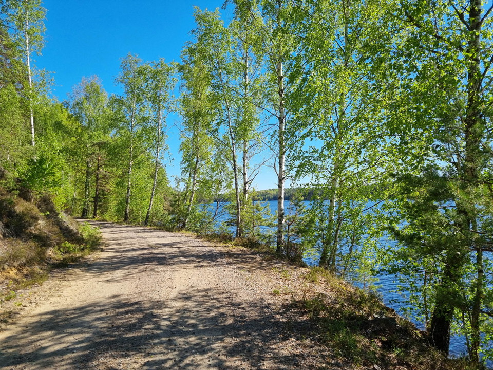
Leden följer grusväg längs Västjutens norra strand. -
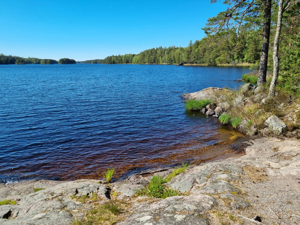
Utsikt över Västjuten. -
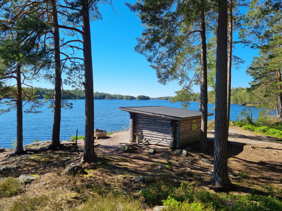
Västjuten vindskydd.
Regna – Tjuttorp
- Hiking
- County: Östergötlands län
Trail details
- Length 22.5 km
- Difficulty Green - simple
Actions
Description
The stage between Regna and Tjuttorp is easy to walk and follows mostly gravel and forest roads. The stage is about 22 km. At Regna church village, there is the possibility of overnight stay.
Along this hike, scenic views can be enjoyed, including along Lake Långtvaren to Gäddö.
At Gäddötorpet, the trail turns south, but here it is possible to make a detour of 1.6 km to the Gäddån wind shelter where there is a fireplace and toilet. A few kilometers after Gäddötorpet, you pass two cultural heritage sites known from Finspång's history. First, Aurora's stone, a memorial from the castle wife Aurora Taube de Geer's time at Finspång Castle. Shortly after, the trail passes Mark's silver mine, a remnant of a valiant but short-lived attempt to extract silver here in the latter half of the 17th century.
The hike continues to Lake Västjuten, where the trail winds along the northern shore of the lake. Here, too, there is a shelter with a fire pit. At the end of the lake, the trail branches off in new stages. To the east, it is possible to go to Rejmyre or Norrköping, or south towards Finspång. If you choose the latter stage, you pass Tjuttorp nature reserve. At Tjuttorp, the Bönnern-Tjuttorp and Falsnäset-Tjuttorp stages connect.
Activities And Facilities
- Hiking
Contact
Address
Välkommen till Östgötaleden, 150 mils vandring i Östergötland!
Email address
Kontakt Östgötaleden
Organization logotype

Please be aware that some of these texts have been automatically translated.
I’ve been here
I want to go here
Questions & Answers
Ask a question to other Naturkartan users.
Reviews
0 reviews
- 5 :
- 4 :
- 3 :
- 2 :
- 1 :
Users images
No user images yet. Be the first to share!
