
-
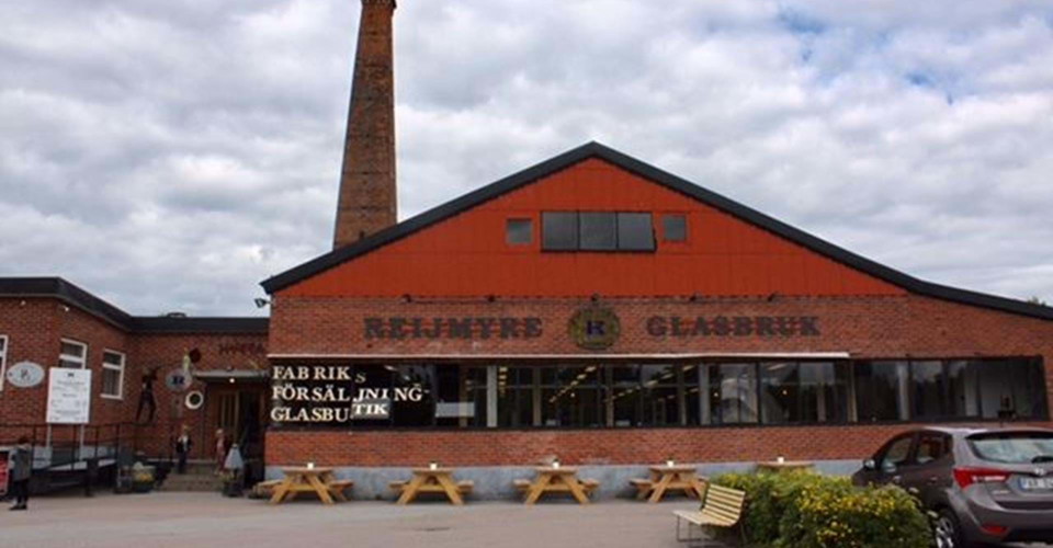
Rejmyre Glasbruk. -
-
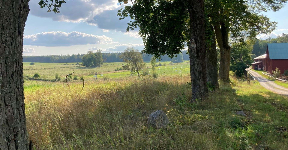
Odlingslandskap vid Älgsjögården Häradstorp Finspång. -
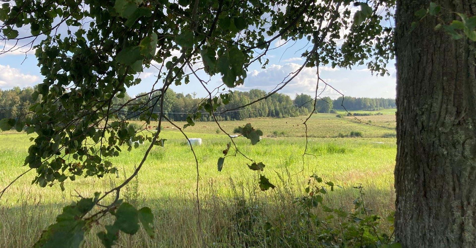
Odlingslandskap vid Älgsjögården Häradstorp. -
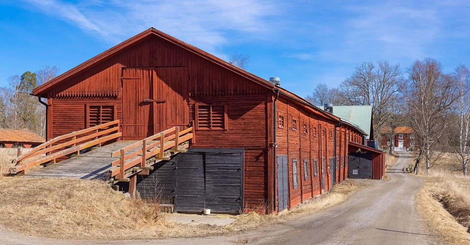
Vid Häradstorp finns byggnader från flera tidsepoker.
Falsnäset-Rejmyre
- Hiking
- County: Östergötlands län
- 6759.04 km away from you
Trail details
- Length 12.8 km
- Difficulty Green - simple
Actions
Description
|Translated by Google translation| The hiking trail between Falsnäset and Rejmyre is 16 km and a part of Östgötaleden. The trail is easy to walk when it almost exclusively follow the gravel and forest roads. The stretch is excellent to enjoy by bike. However, the cycle may have led to one or two places (Skogstorp and Gommersnäs) of the trail route. This concerns about 500 - 1200 meters. You can start your hike at either end.
Activities And Facilities
- Hiking
Contact
Address
Välkommen till Östgötaleden, 150 mils vandring i Östergötland!
Email address
Kontakt Östgötaleden
Organization logotype

Please be aware that some of these texts have been automatically translated.
I’ve been here 1

I want to go here 5

Questions & Answers
Ask a question to other Naturkartan users.
Reviews
0 reviews
- 5 :
- 4 :
- 3 :
- 2 :
- 1 :
Users images
No user images yet. Be the first to share!
