Användare av Naturkartans app för Android rapporterar i sommar att appen är seg mm. Vi rekommenderar att man raderar appen helt från sin telefon i så fall och laddar ned igen! Då skall den fungera bättre. Den befintliga appen skall ersättas av en ny app efter sommaren. Den gamla appen laddar all data för hela landet lokalt i appen (för att klara offline-läge) men det innebär att den blir för stor för vissa telefoner - då behöver den raderas och laddas ned igen!

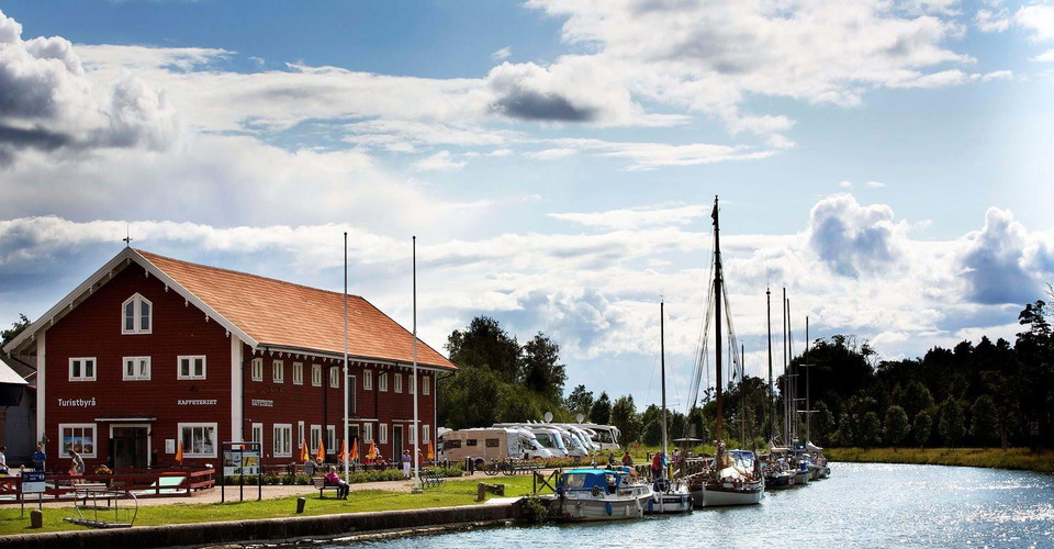
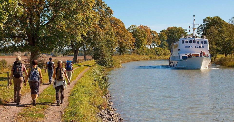
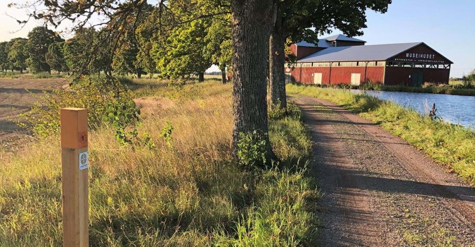
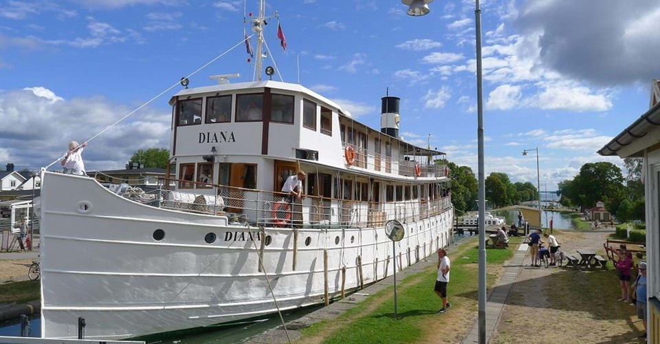
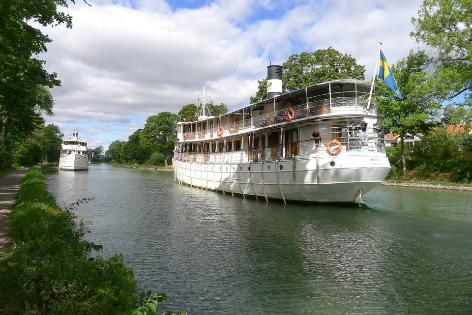
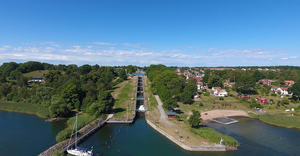
Along Göta Canal you hike along Sweden’s longest tree-lined avenue, sharing the route with St. Birgitta Ways. Begin by crossing Motala River, then follow the old towpath along the canal to your destination in Berg, with its high sluice stairs leading down to Lake Roxen.
There are many interesting sights along the way, with information signs, and you pass several lovely picnic sites. In summer, there are cafés and accommodation along the canal. Ljungsbro and Berg offer grocery stores, cafés, restaurants and accommodation.
Also, the lush Motala River ravine reserve is well worth a detour.
(2023-07-12/eb)
Kontakt Östgötaleden

Please be aware that some of these texts have been automatically translated.

Ask a question to other Naturkartan users.
0 reviews
No user images yet. Be the first to share!