
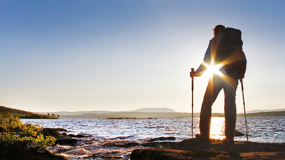

Jäckvik-Adolfström, The King's Trail
- Hiking
- County: Norrbottens län
- 6401.36 km away from you
Trail details
- Length 22.0 km
Actions
Description
Activities And Facilities
- Hiking
Surface
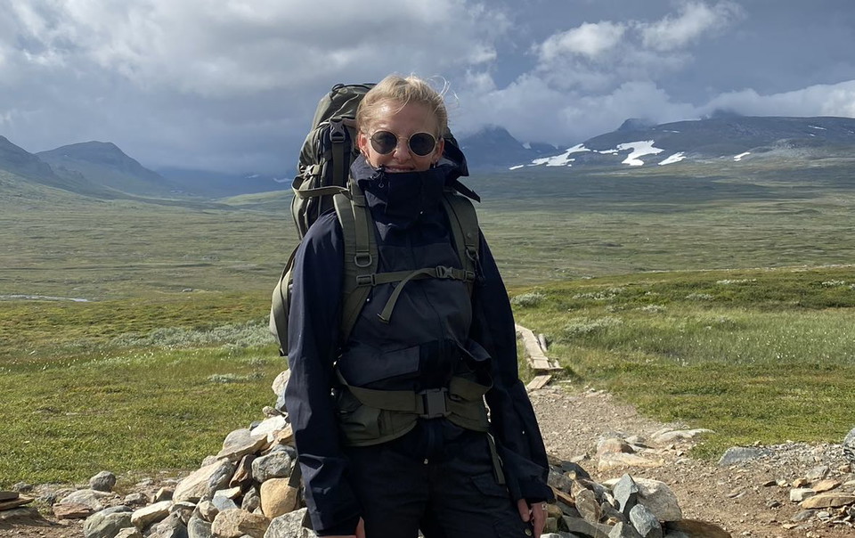
Mostly easily hiked trail, except for the descent from the Pieljekaise Cabin to the southern national park boundary, where the trail is rocky and steep in places.
Communications
You get to Jäckvik and Adolfström by car or bus. During the season there can be bus connections between Arjeplog and Jäckvik, and between Arjeplog and Adolfström, see Länstrafiken Norrbotten for more information. There is a car park at the start of the trail at Jäckvik and at the harbour in Adolfström.
Contact
Email address
Länsstyrelsen Norrbotten
Organization logotype
I’ve been here 13


I want to go here 49







Reviews
—
0 reviews
- 5 :
- 4 :
- 3 :
- 2 :
- 1 :
Questions & Answers
Ask a question to other Naturkartan users.
Users images
Share your photos of the place!
